Day 42

11 miles
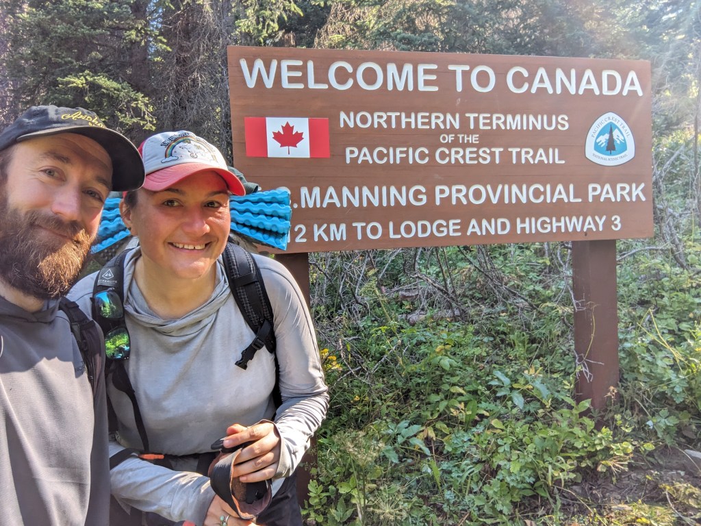
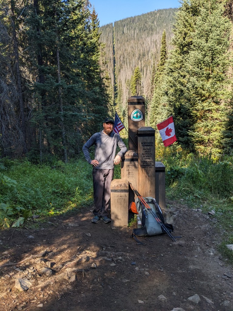
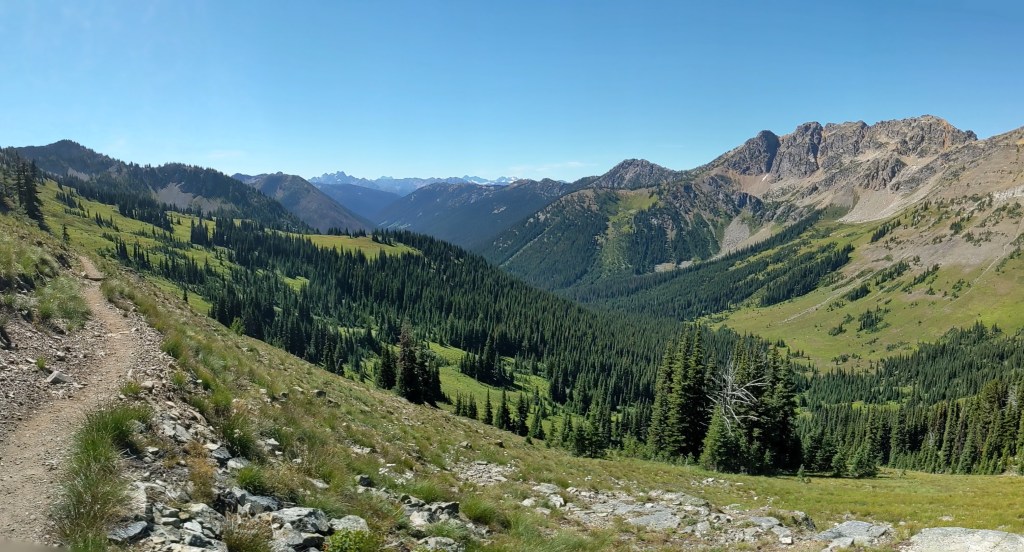
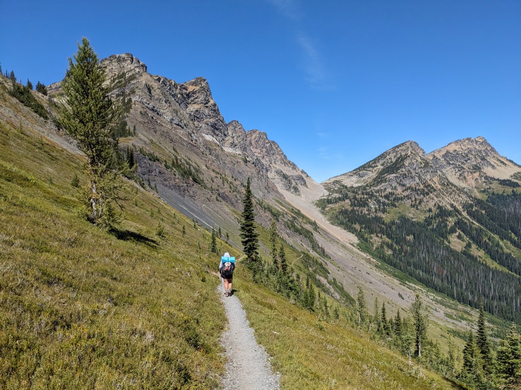
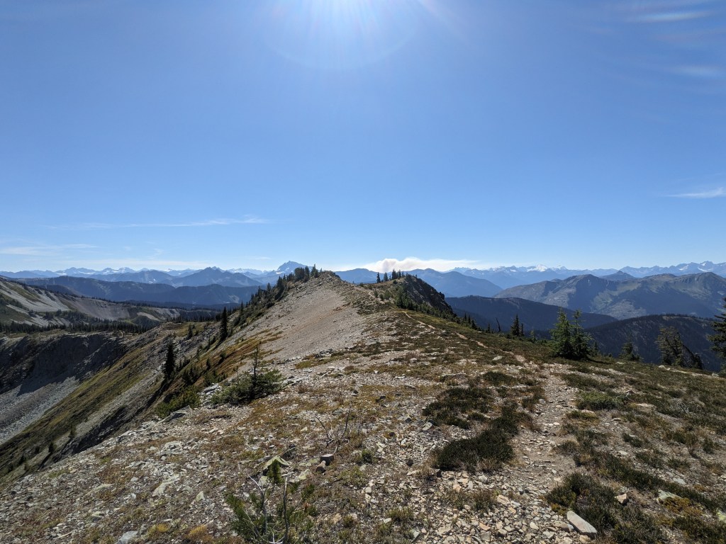
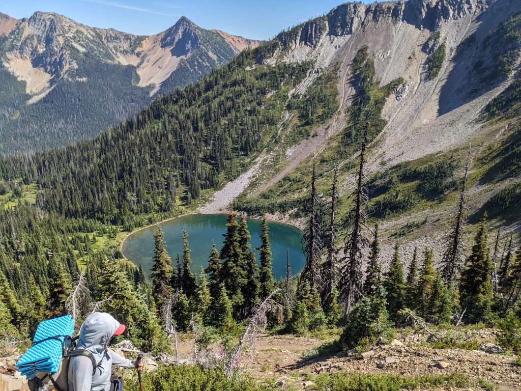
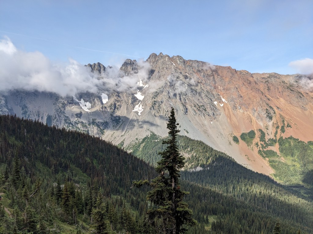
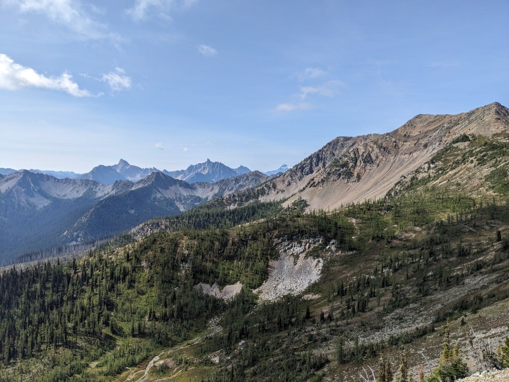
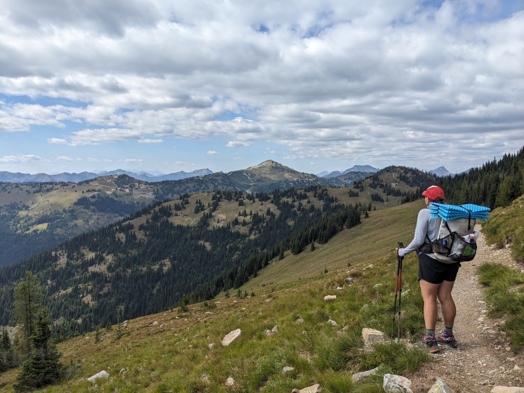
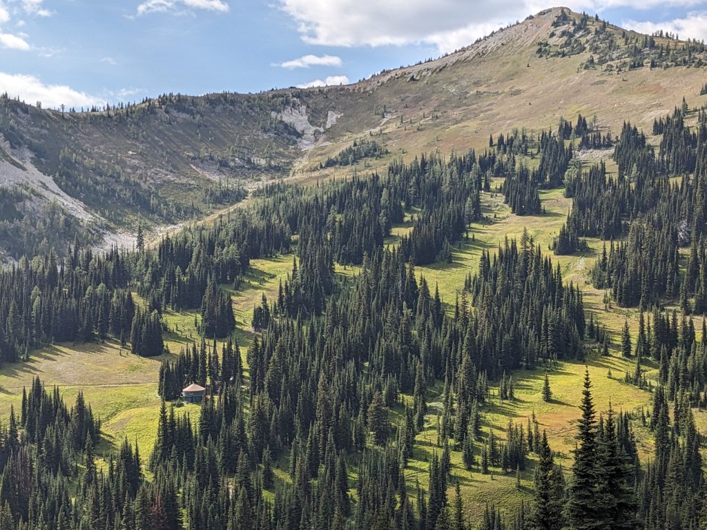
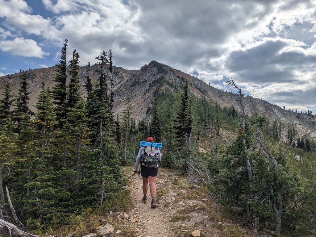
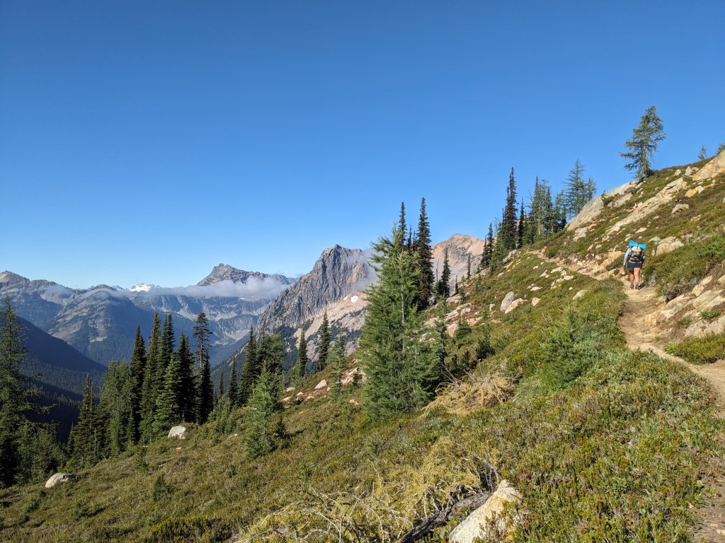
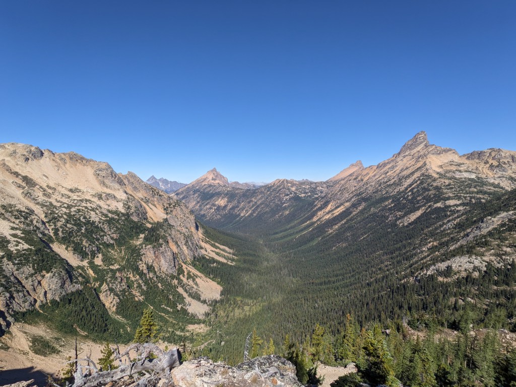
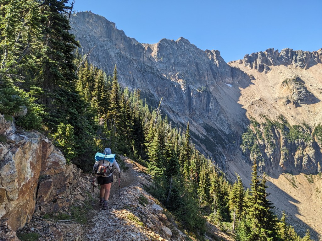
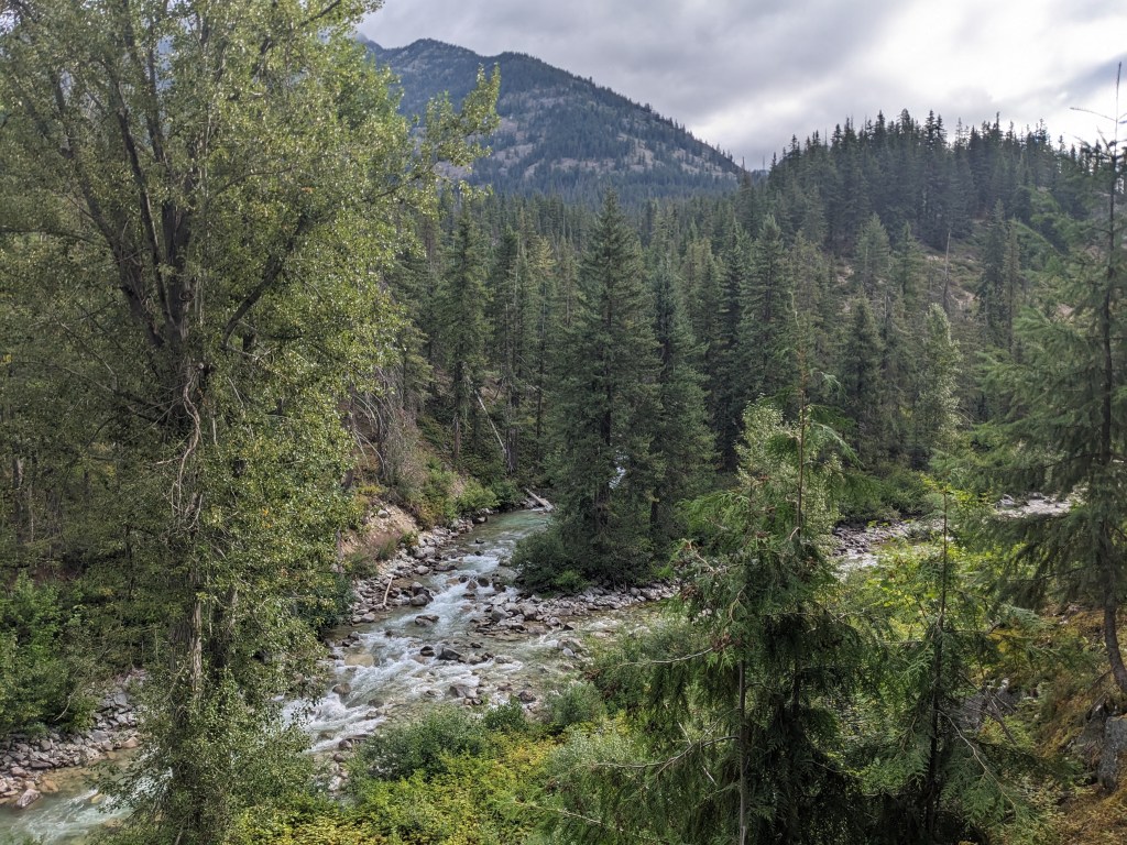
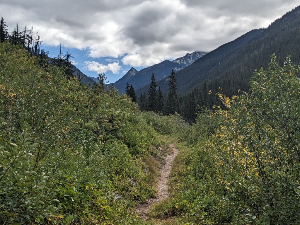
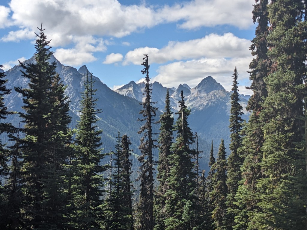
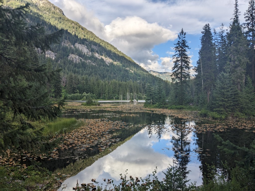
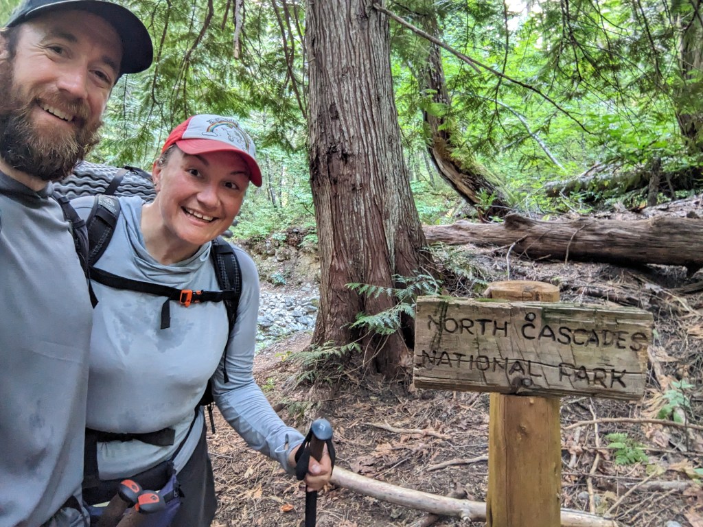
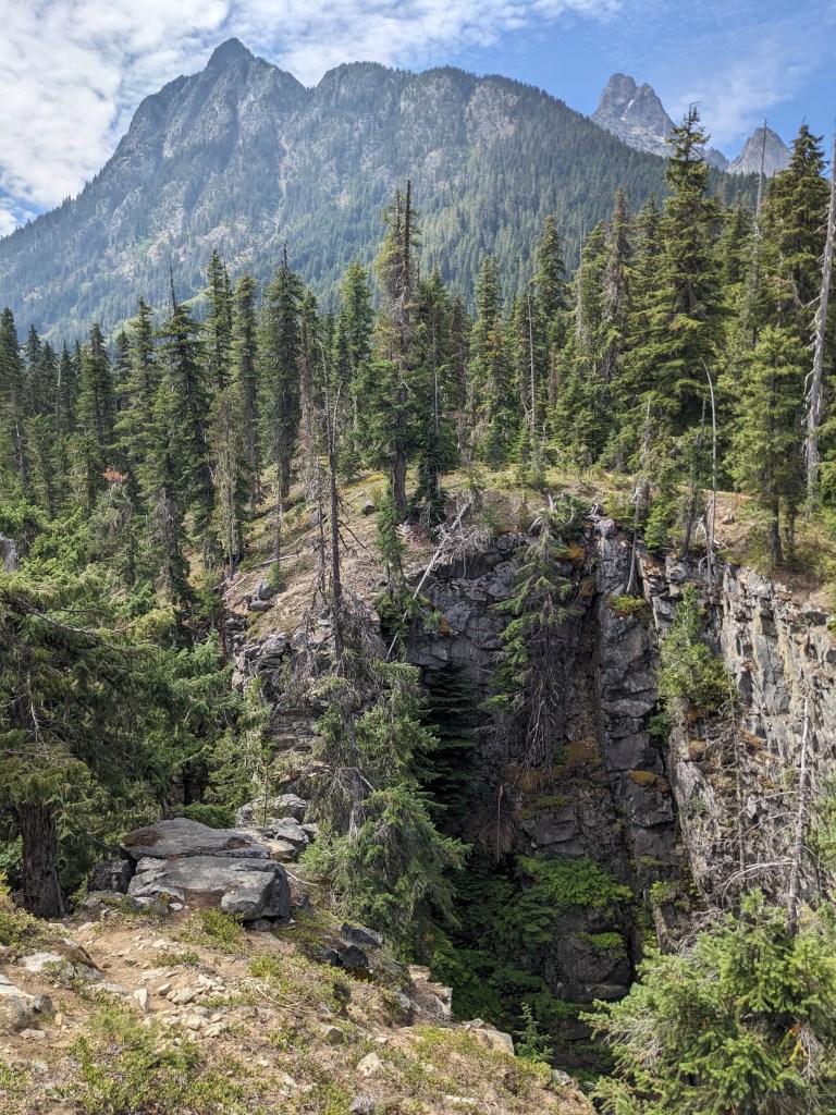
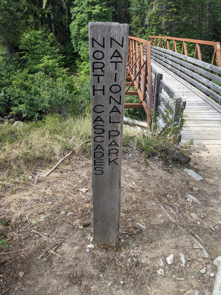
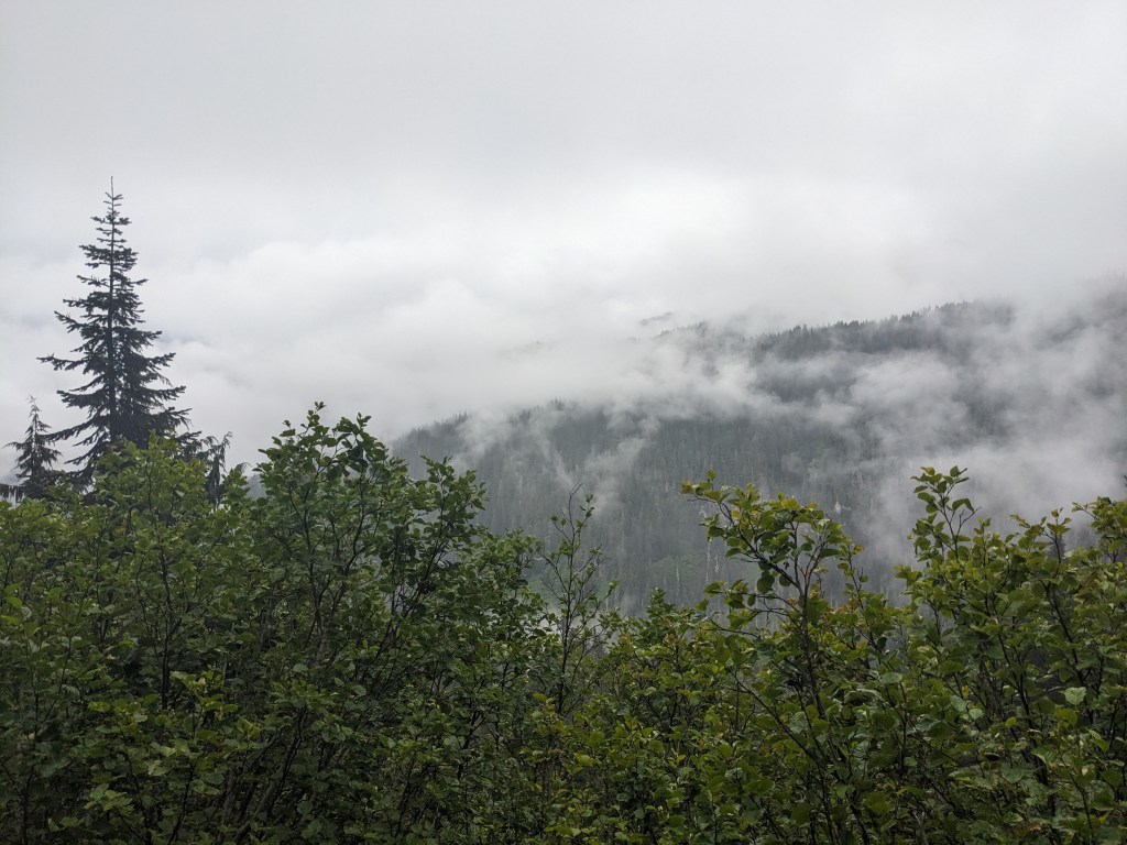
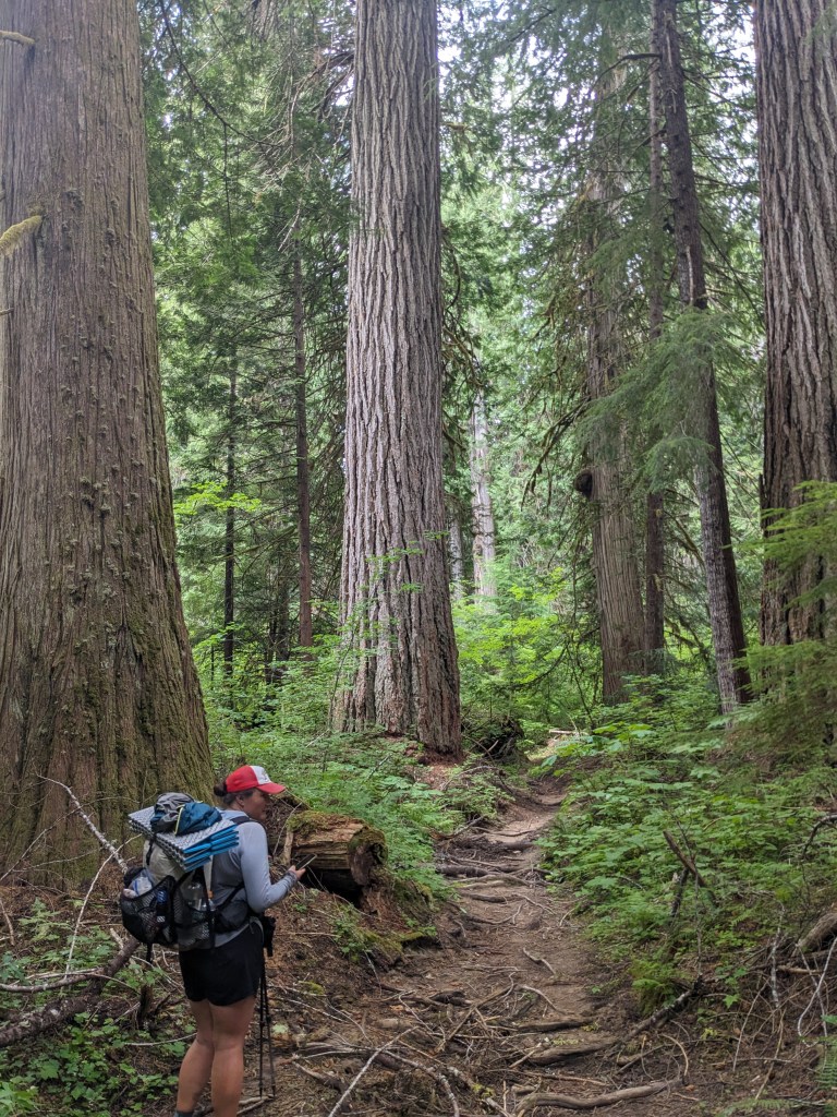
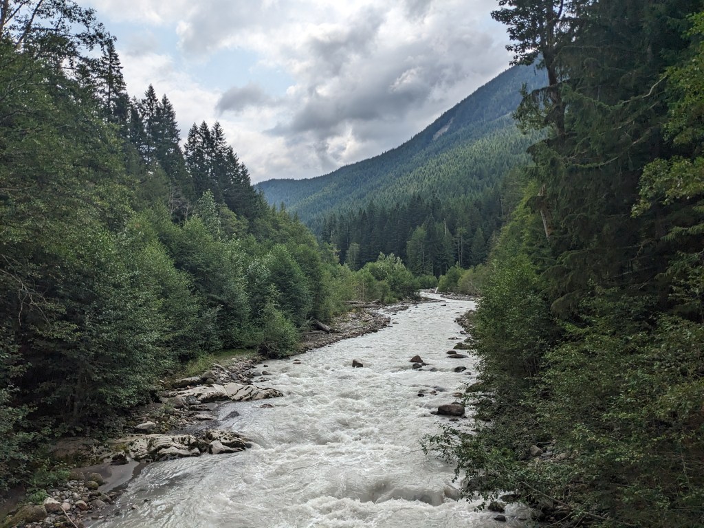
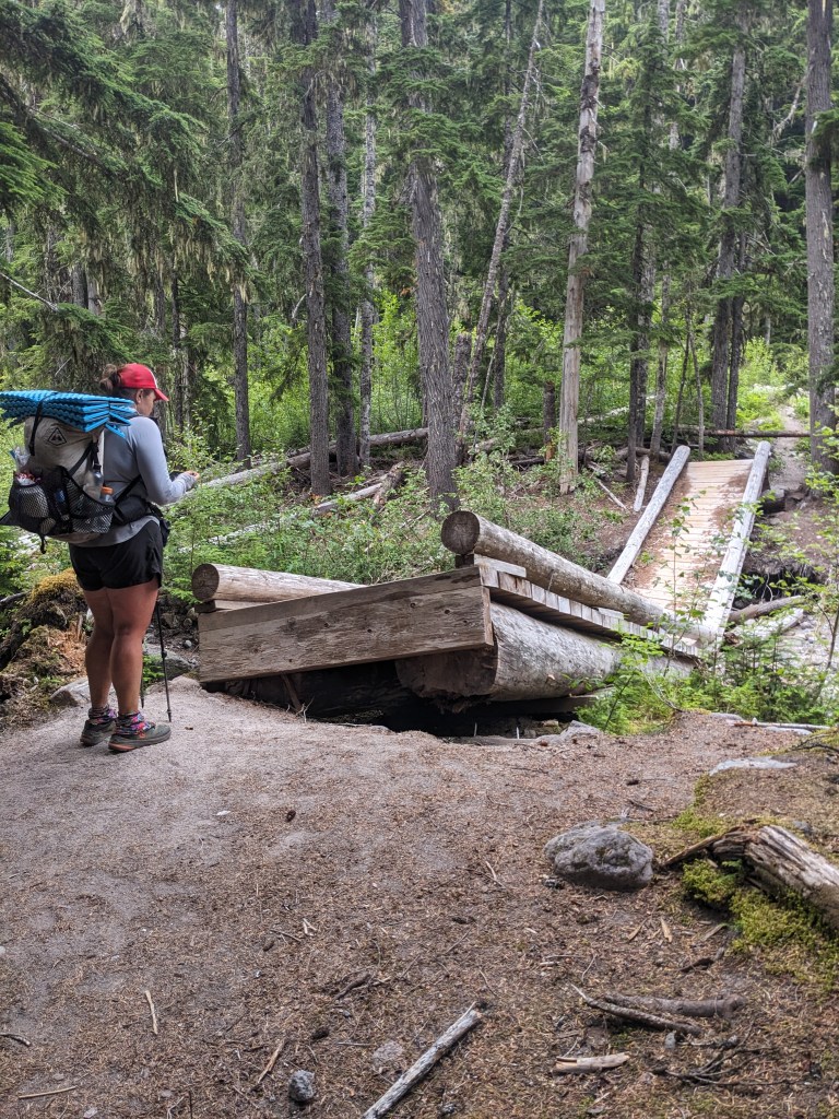
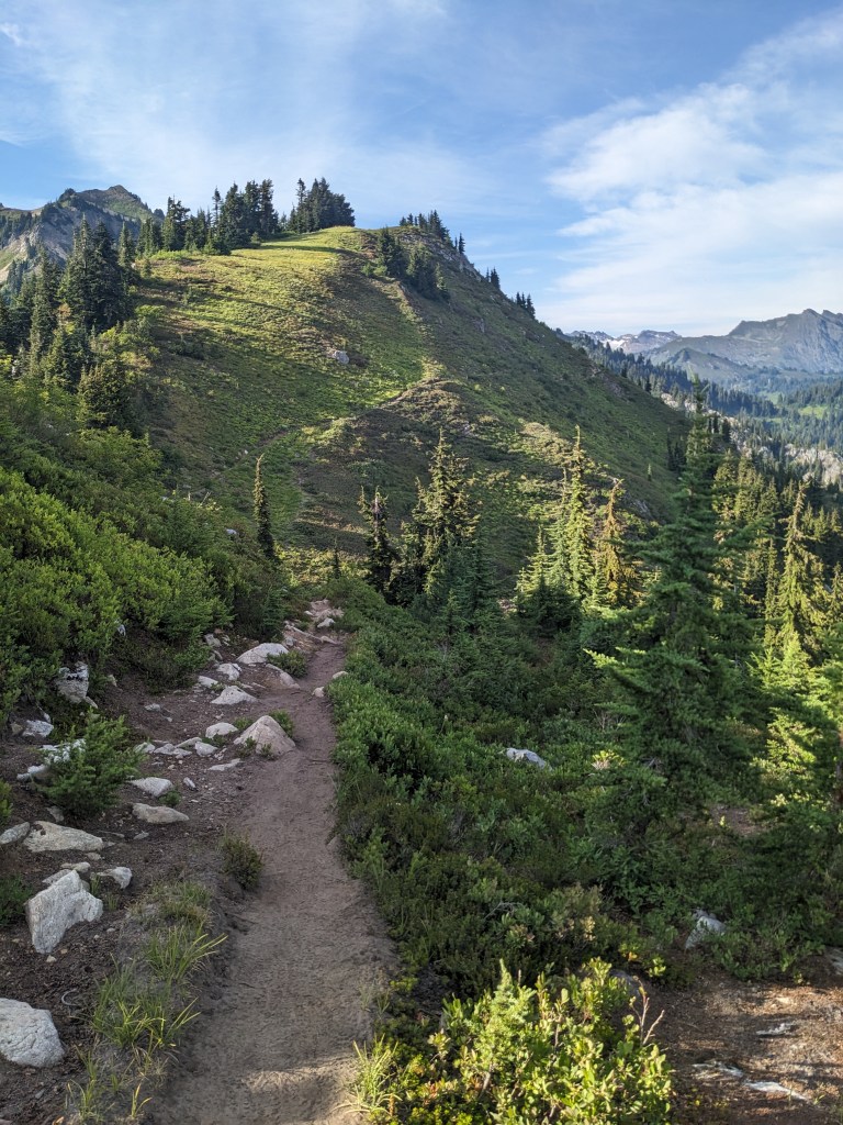
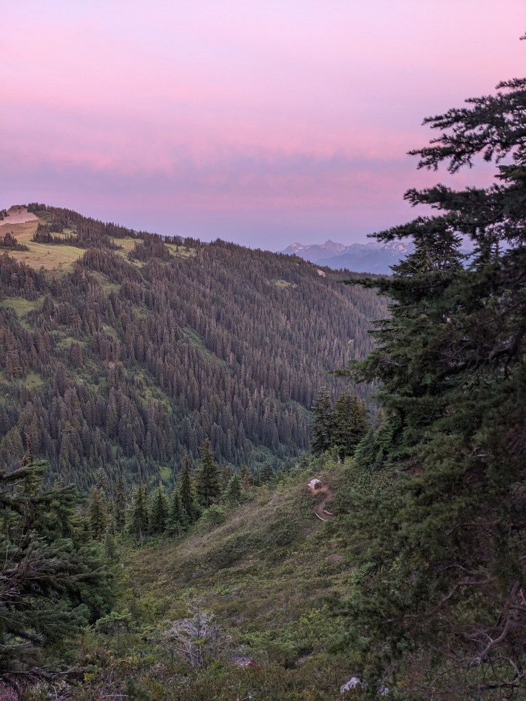
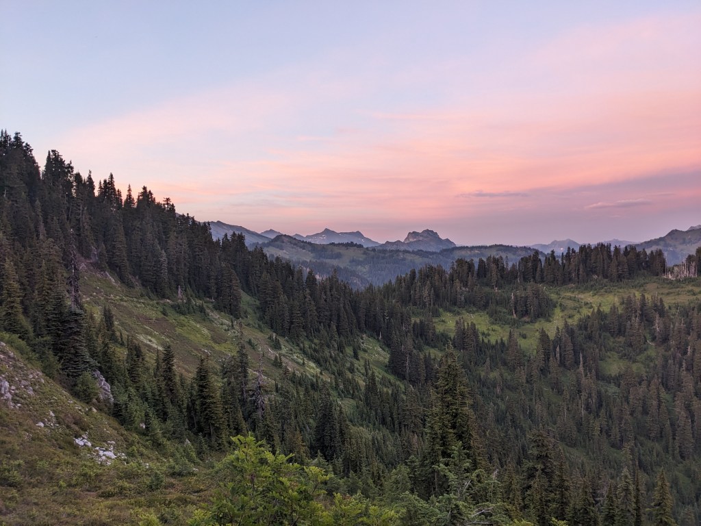
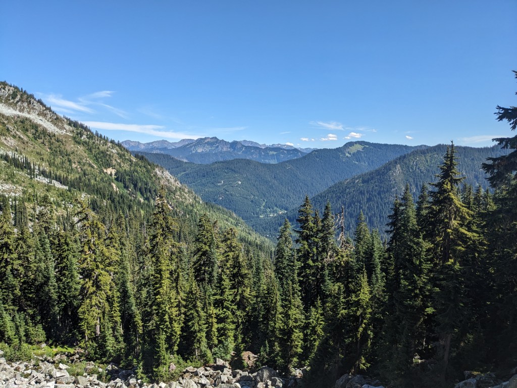
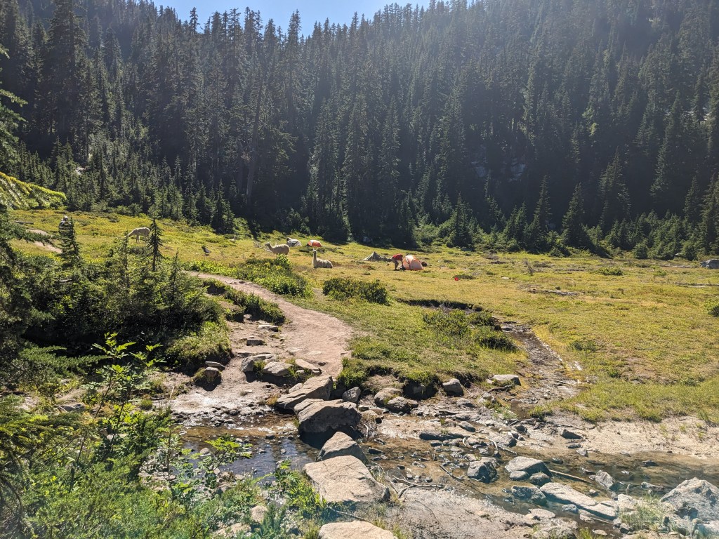
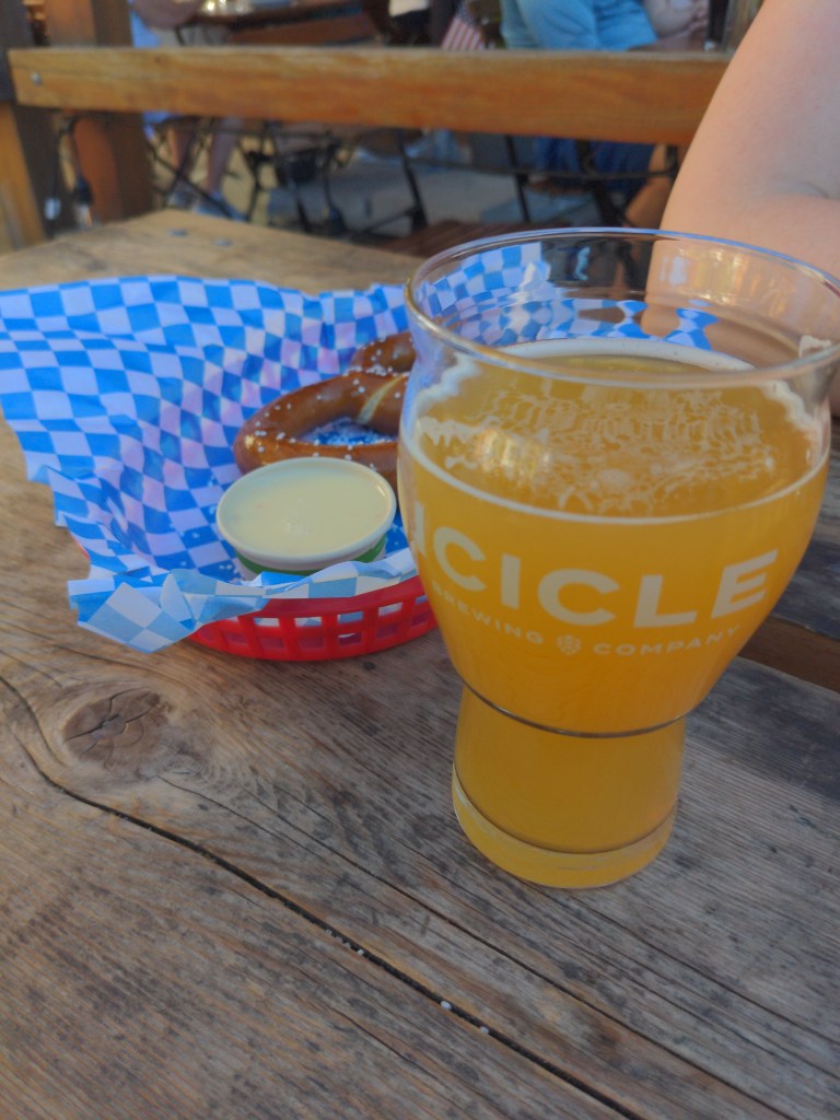
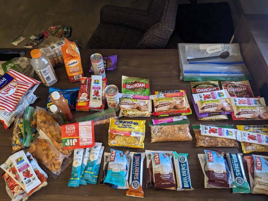
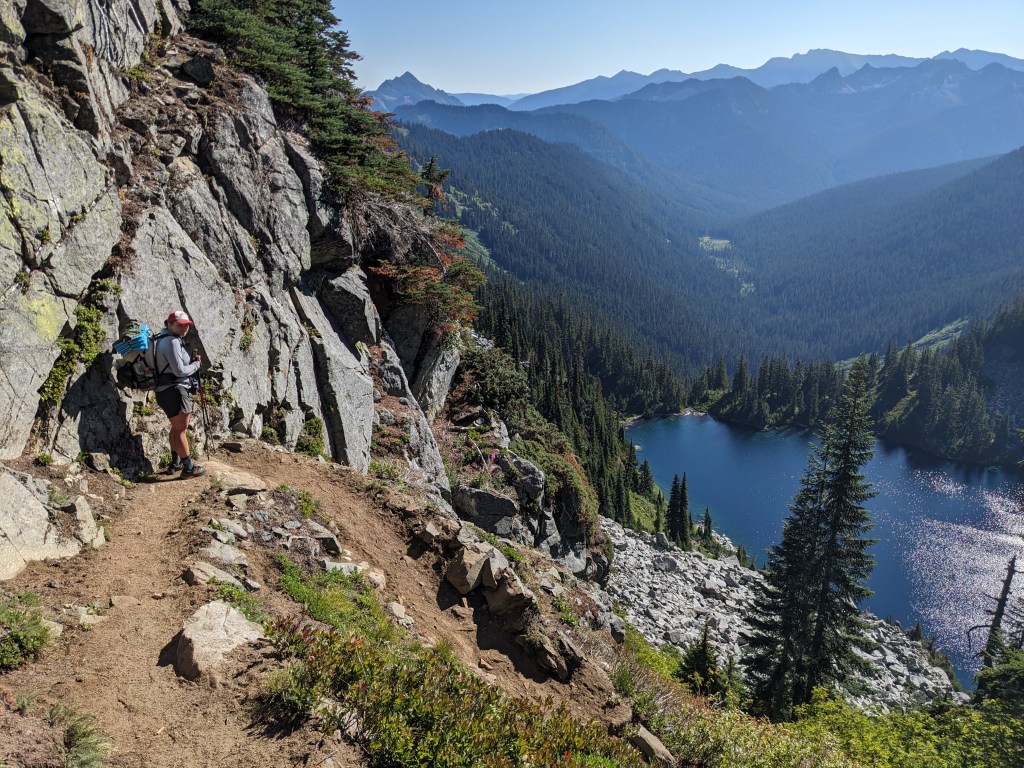
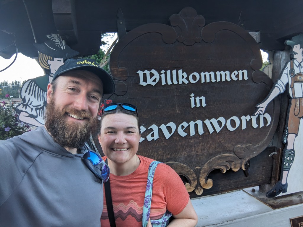
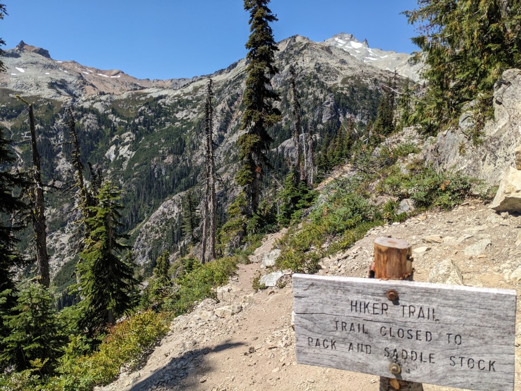
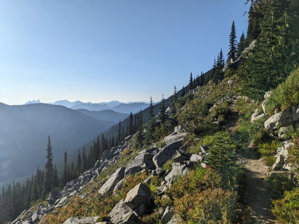
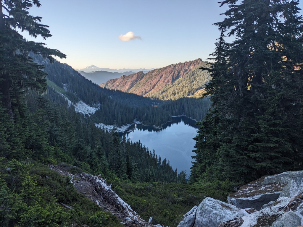
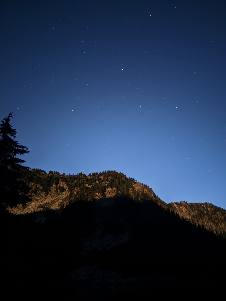
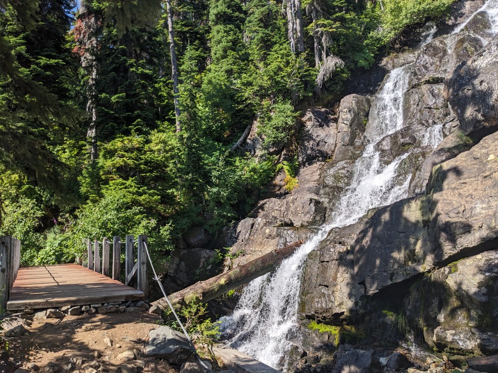
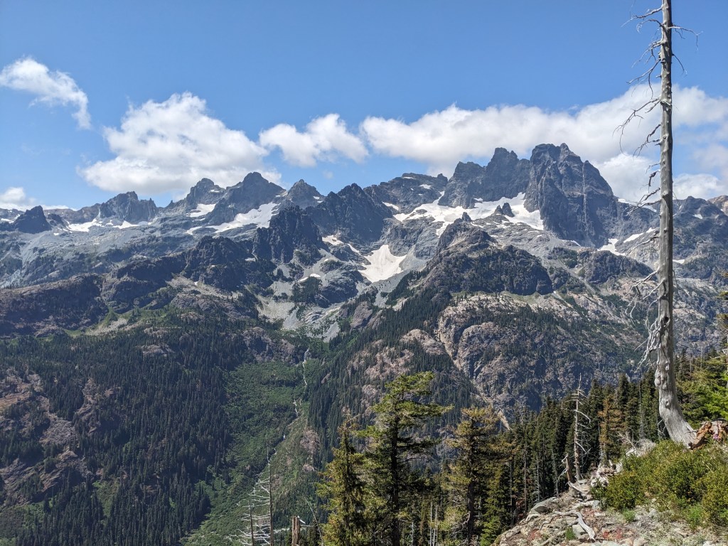
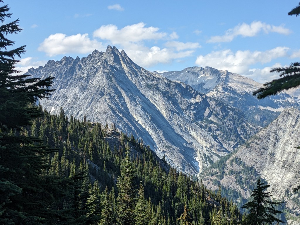
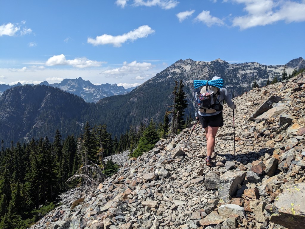
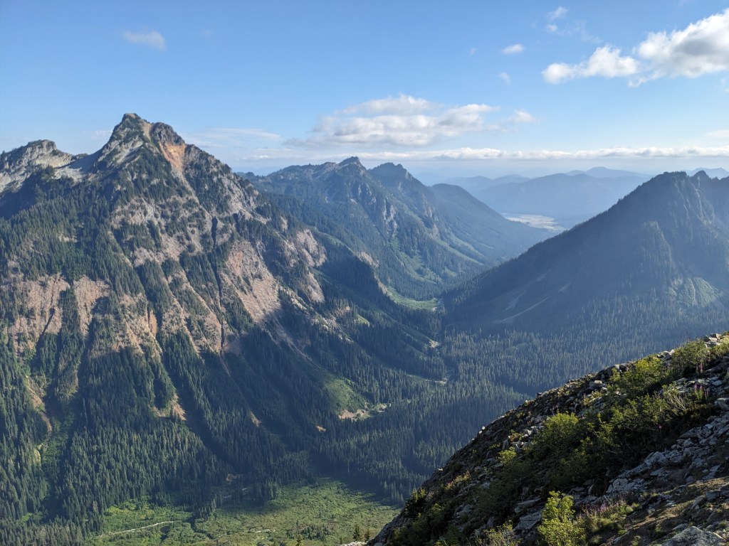
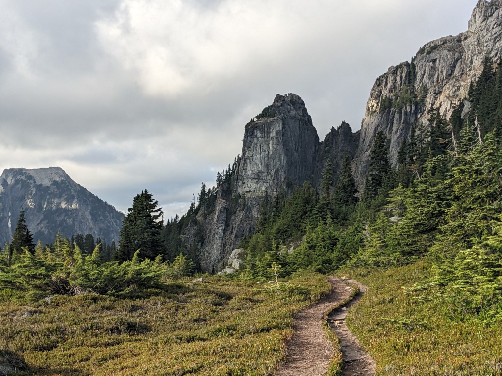
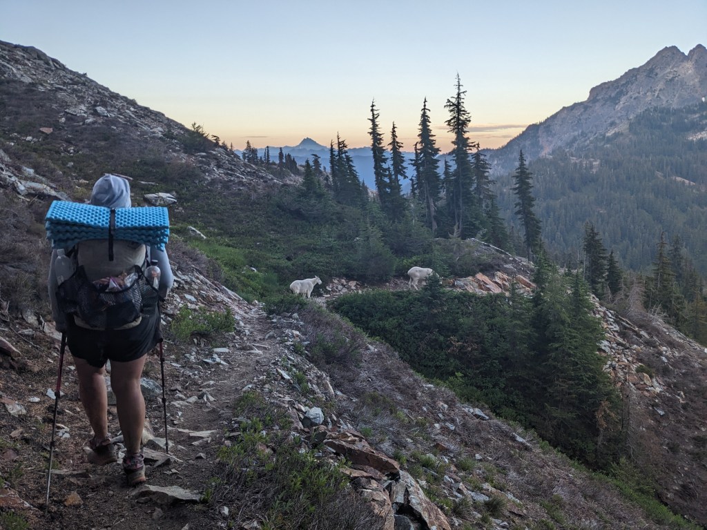
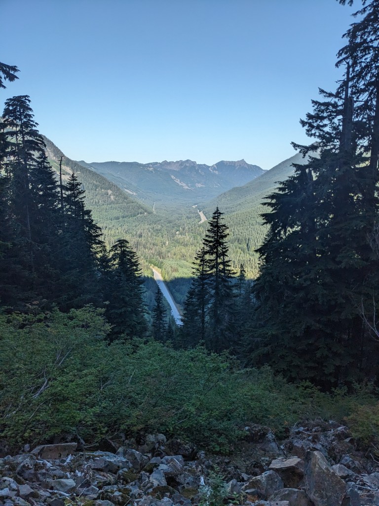
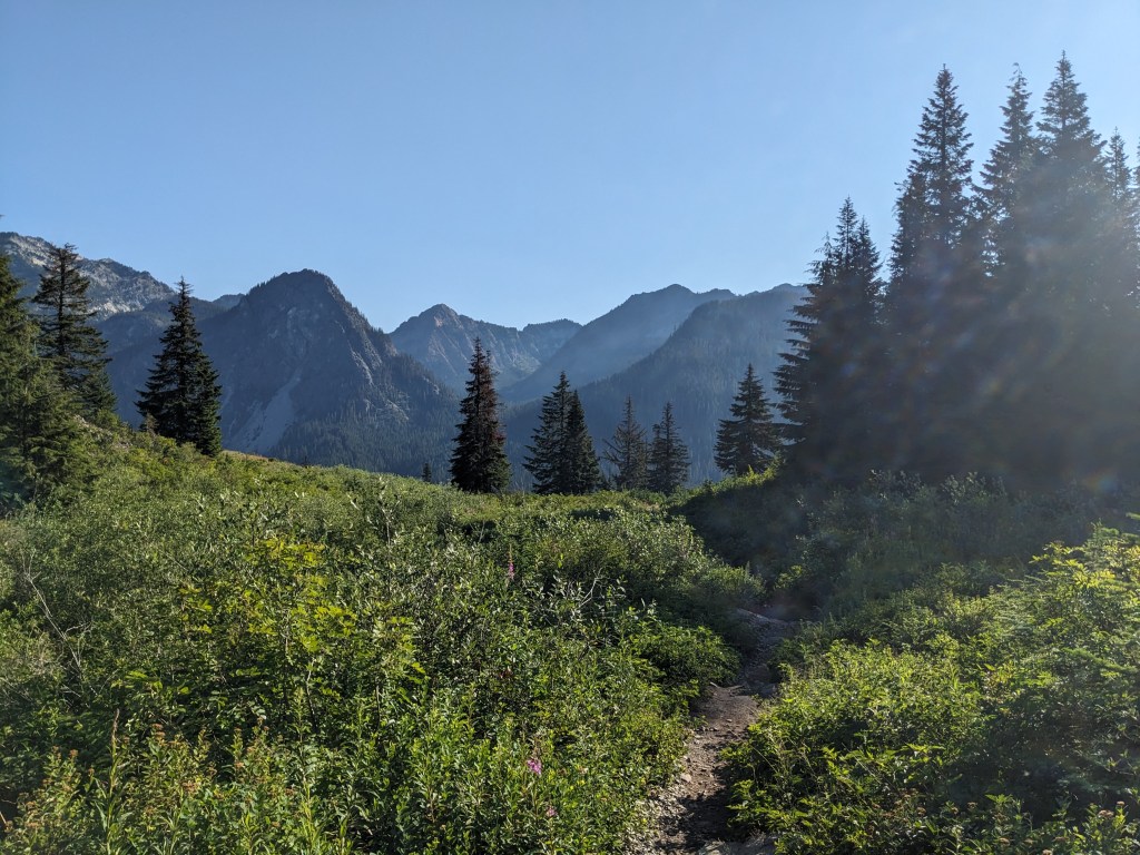
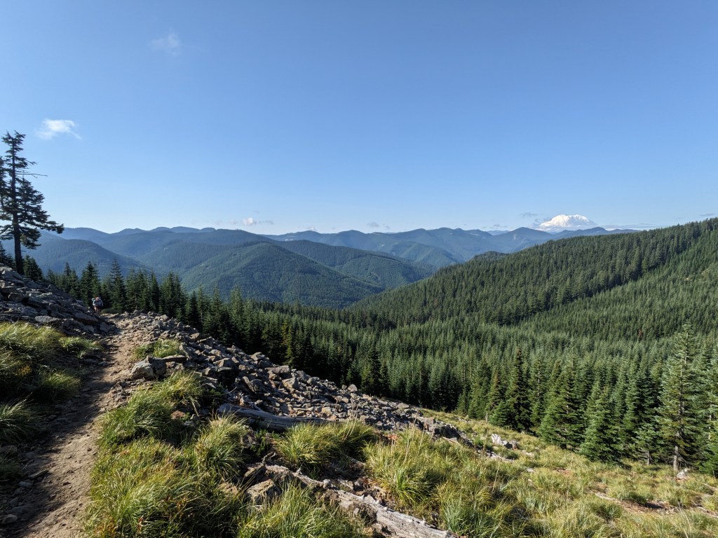
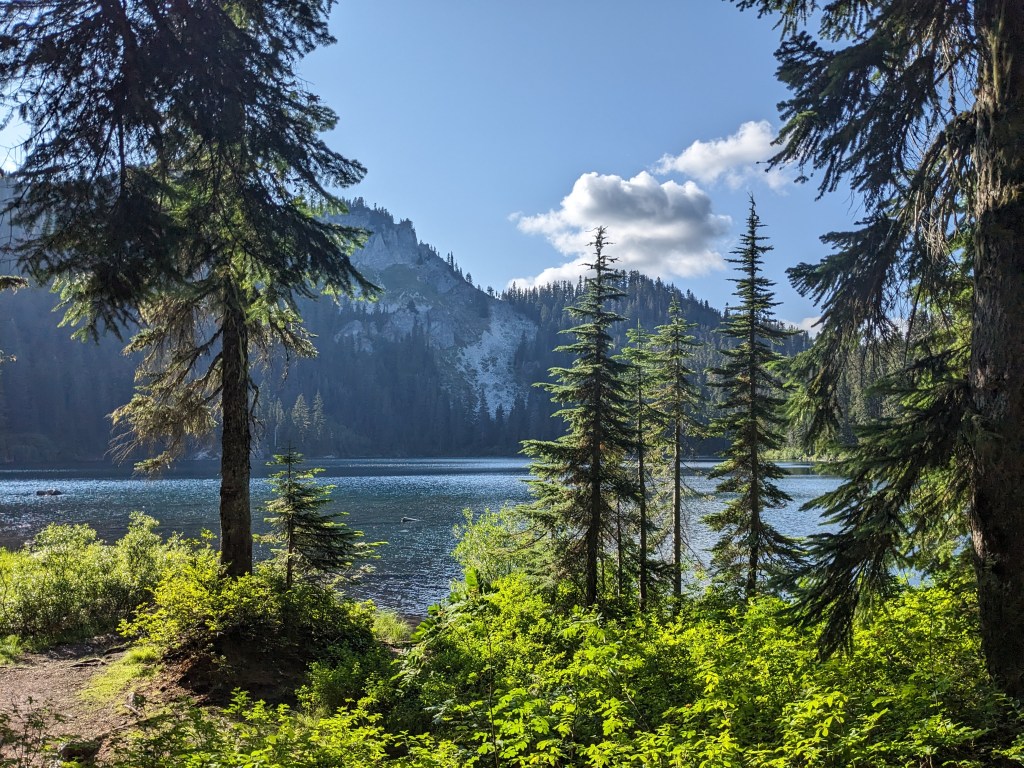
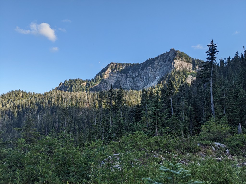
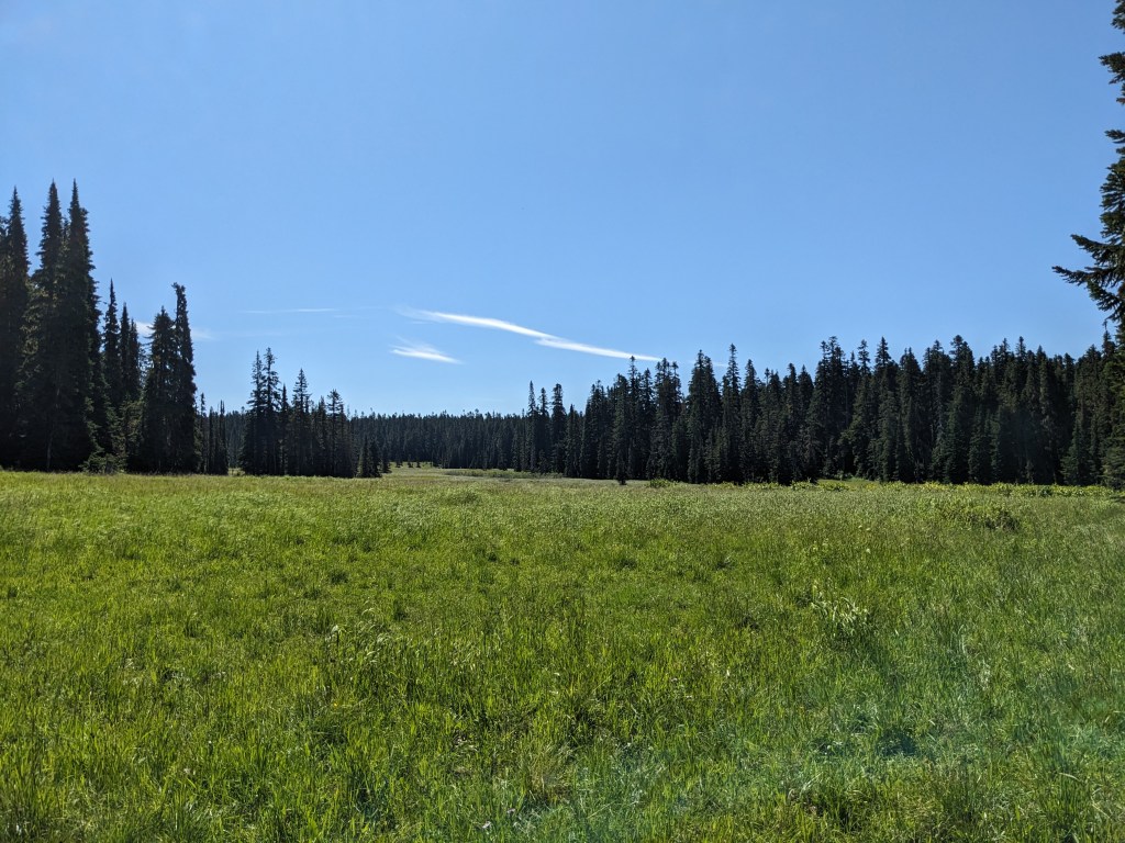
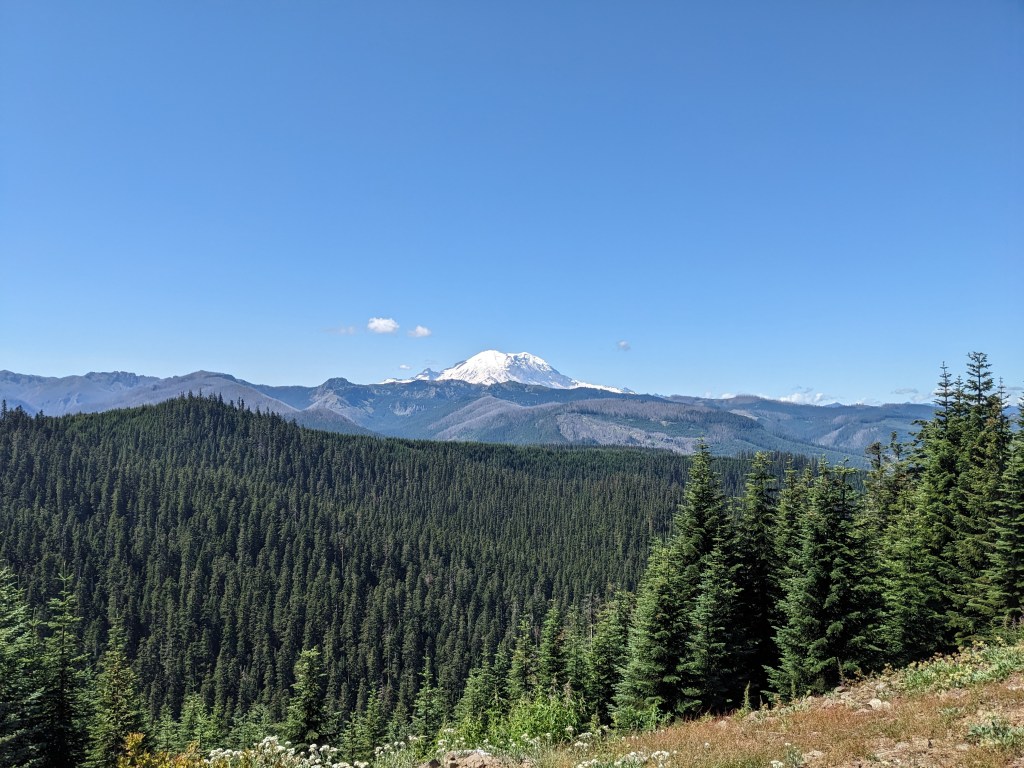
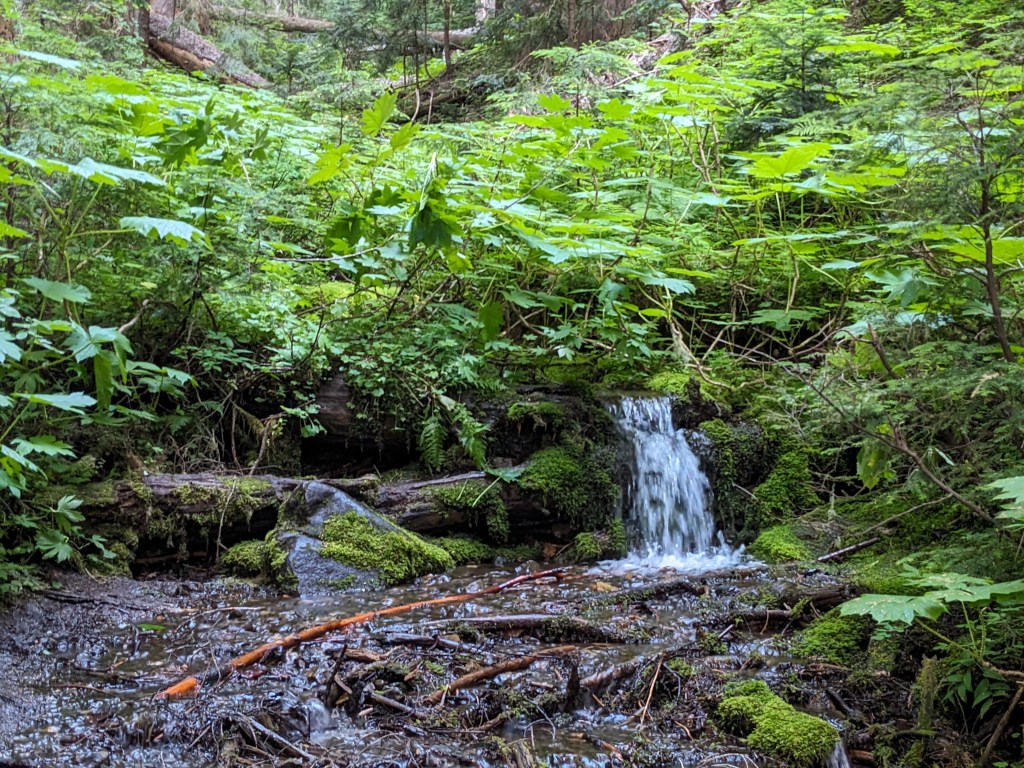
This is it! Last 3 miles to the border and then 8 more to the highway. This makes it 670 miles from Sisters to Canada in 42 days. About 90,000ft of elevation gain. One zero in Leavenworth, 5 nearos (Timberline Lodge/Govy, Cascade Locks, Trout Lake, Snoqualmie/Seattle, and Stehekin), 1 hero (White Pass). Sent the bear can, puffy, and microspikes home in Trout Lake (250 miles in). Got new shoes after 400 miles. Also got a belt, since the cinch on my pants wasn’t cutting it anymore. The belt didn’t really do the job much better, but at least my pants weren’t falling off. I had gained weight before the trip in anticipation of the calorie deficit, but I struggled to eat enough each day. Not for a lack of trying. I lost a fair bit of weight in a short time, but I still feel healthy. I feel strong, like my legs could go far longer each day. My feet are battered, but tough, and I only got one blister early on. I haven’t used leukotape in weeks, my feet do just fine in my Darn Toughs. I’m sick of Injinjis, but they were nice at the start to prevent between-the-toes blisters. I eventually switched solely to Darn Toughs and have been happy with them. My sun shirt smells so bad, and I think it has stopped being effective at blocking the sun because the back of my neck has felt burned the past few days. Switched to an Ursack back in Leavenworth (8oz instead of 40oz for the bear can), worth it. The 3 miles before the border were effortless and full of anticipation. The monument was great to see and we shared the experience with some hikers from the class of 2022 who had similar stories about finishing their hikes. It was fun to keep the mood light, especially after such long distances. Lots of photos and laughs. Once we got moving again we first encountered a bridge that was quite rickety and made me nervous while walking across, but it held out. Mostly downhill with a few inclined sections, the miles went quick enough. Although I sent some confusing text messages to my waiting parents, they figured out what I meant and met us along the trail about 1.5 miles in from the trailhead and finished it out with us. It was great to give them a hug and walk out of the woods together. We learned that they had met Strider and her tramily at the Manning Park restaurant earlier in the day. We got food and went back to the AirBnb to shower. It felt so nice to take a shower and not have to rush through it. And to sleep in a bed! The next day we learned of new fires near the trail that closed the section we just hiked through. We got out in the nick of time! What an end to our PCT hike.
-Drop

We made it!

Day 41

17 miles
No deer disturbances last night, again, so we must have some luck. The views today were non-stop. Ridgewalks, passes, valleys, it was beautiful all over and most of it at or above treeline. Blue skies, sunny, light breeze, perfection. We rolled through the miles eventually topping out around 7000ft. Mountains in every direction. What a fitting end to the trail! We opted to wade into Hopkins Lake, our last chance to get into another alpine lake. Camp for the night is at the junction for the Boundary Trail/PNT. We are joined by hikers from all over: Taiwan, Czech Republic, Netherlands, France, Florida, and Seattle. The Florida and Seattle guys are originally from Bath Ohio and have relations to people from Tiffin. Small world! We only need food for breakfast for tomorrow since we will likely get town food once we reach the highway. So most of my food bag is empty and I’m stuffed. My pack is gonna feel so light tomorrow. My parents are meeting us in Manning Park, it will be great to see their faces at the end!

Heading up Rock Pass
Dropping down from Rock Pass on our way to Woody Pass
The top of the last climb before the border. Smoke from a fire in the middle
Hopkins Lake

Day 40

20 miles
Luckily, no deer last night. We continued the climb up to Harts Pass in the morning. The clouds around Azurite Peak rolled around, so each switchback gave a new view of the mountain. A long ridge walk over to the parking lot at Harts Pass. We had hoped to meet up with Yardsale, Chickadee, and Raiden at Harts Pass, and sure enough, they were there! We caught up real quick as they tried to hitch a ride into Mazama. A car pulled over, but instead of giving a ride, gave trail magic. We all got beer, chips, and candy. It was quite a treat. The gang eventually got a ride down the mountain, but we hung out for a bit longer with all of the other hikers who had gathered. A couple Czech hikers passed around a Gatorade bottle of whiskey to the group. We eventually left the group and signed the trail register. Checked the hiker box for any last minute goodies, and then started hiking again. We still needed to eat lunch so we grabbed water at the next stream and then stopped in a shaded flat spot. The views all around were great the rest of the day. We weaved around on a ridge eventually stopping just before Shaw Creek. There’s another deer near camp and it’s even more comfortable being around humans as last night’s deer.

Azurite Peak
Looking south to Tower and Hardy
Beautiful spot for a yurt

Day 39

17 miles
Another tent full of condensation in the morning, but luckily we got to dry it all out at the top of the pass. The sun was shining bright while we hung out taking in the view. The short climb up was quick and smooth. Every bit as awesome the second time through here, we took lots of photos on our way from Cutthroat to Methow Pass. From the top to Methow River there were weekenders moving up the valley. Small kids with some of them too, which we then debated how much weight you could expect a 10-year old kid to carry in their backpack, and for how far. We ate instant mashed potatoes for lunch next to Methow River, and then made our way to Brush Creek. Our last night on trail last time was a cramped, cold spot tucked between a rock and a tree trunk because it was all that was left. The next morning we decided to leave the trail, but this time we just waited our turn to fill water bottles for the next climb. Definitely in a better place this time through. Camp is at Glacier Pass, about halfway up the climb toward Harts Pass. A deer walked by us on the way and didnt seem to care that we were there. Another walked by our tent while we were setting up. I’m hoping for a deer-less night of sleep tonight.

Last of the climb up Cutthroat Pass
Cutthroat Pass
Mt. Hardy (left) and Tower Mountain (right)

Day 38

18 miles
The guys last night eventually shut up and turned off their headlamps. And the mouse that was trying to run around the tent eventually went away too. Maybe it found the guys’ tents instead. Although most of the day was spent climbing back up all of the elevation we lost two days ago, it was gradual and mostly smooth sailing. We ate lunch next to Bridge Creek with Strider and her tramily. They were headed to the same camp spot that we were so we planned to push on to the next campsite if the first spot was full. Luckily, there was plenty of room. Along the way, we crossed paths with a family of 3 and the daughter is dating Cactus, one of the hikers that we met in ’21. Small world. We are doing 18-mile days this last section since we don’t need to hurry to the end. The elevation change per day is also less than the previous 2 sections, so easier & shorter days for us. Today, we got to camp around 5pm, which is one of the earliest we’ve had on this trip. Tomorrow we finish the climb up Cutthroat Pass, which I am excited about. It was one of my favorite trail days last time.

Day 37

5 miles
The laundry and showers didn’t open until 9, so we had no rush to get out of the tent. Eventually we made our way down from the group campsite to start our town chores. Not many hikers here so we didn’t have to wait in line and got done with it all fairly quickly.  We picked up our resupply boxes and repacked our food. We definitely shipped more food than we’ll need so we trimmed it down and put the extras in the hiker box. From the hiker area, you can see upriver to where the trail is. It looked like it was raining over there, so we stayed in town and waited for the 6pm shuttle back. It was nice to be off our feet and be able to get snacks and beer from the general store throughout the afternoon. The bus took us back upriver and we breezed through the 5 miles to camp. We were the last ones to arrive, and there seems to be a group of guys on vacation camping here who are clearly drunk and being loud. Hiker midnight is 9/sunset. If you need a headlamp then you need to be quiet. And if you use a headlamp, try not to shine it on people’s tents. Use the red light mode when you can. Simple stuff.

Last NP on the PCT

Day 36

20 miles
Last night we both got up to pee and when we got out of the tent we realized how much we were in a cloud. Our headlamps just shined back at us and visibility was about as far as the tent. In the morning the tent was surprisingly not full of condensation, though I did dry it a little when I got to High Bridge. That was the goal for the day, get to High Bridge for the bus into town. I wanted to go for the 3pm shuttle, but in order to make that we’d have to skip breaks and just do all of the miles as quick as we could. It was all more or less downhill, with minimal blowdowns and overgrowth.  We could swing it but we’d be red-lining for 7 hours straight, which we never do. The next shuttle wasn’t until 6, which gets to Stehekin after everything has closed for the day. Marie wasn’t feeling it and we agreed for me to go ahead and get a camp spot and pizza, and maybe some beer, for us and then wait for her on the 6pm shuttle. I took off, and went as fast I could without getting too wreckless. I got to High Bridge around 2:20. I talked with the other waiting hikers and dried out the rainfly. About 2:40, up walks Marie! I was surprised to see her and impressed with her speed. She didn’t want to miss that bus and cranked up the pace. We got some cold pizza and a cinnamon roll from the bakery, then ate the pizza out front of the General Store in their hiker area. Next, we got beers from the store and went to get a campspot. We ended up with a crappy spot, but that’s ok, it’s working and only for one night. Burgers and sodas at the restaurant and flush toilets, oh so nice. Tomorrow we get to use a shower and laundry before heading back out to start the last section to the border. We learned of 2 fires that are north of us, but will need to check if they could affect us. I sure hope not. We’ve done 590 miles to get here and only have 89 miles to go.

Sunset on Lake Chelan

Day 35

21 miles
We woke up in a cloud, and then before we got rolling it started raining. All of the thru-hikers were gone, leaving only us and another couple that were doing Snoqualmie-to-Stehekin. They were doing shorter days, so they chose to wait out the rain. We, instead, put on our rain gear and headed out. The rain stopped after about a mile, which was long enough to get all of the plants wet. My shoes and socks were soaked, and the bottom of my pant legs, bit everything else was dry. Not too shabby. We worked our way down about 12 miles and 3500ft to cross Suiattle River and then stopped for lunch. We dried our feet, but had to put cold, wet socks back on. The afternoon was spent climbing back up 3200ft to Suiattle Pass so we can drop into Stehekin tomorrow. I waited for Marie at the top again, a repeat of yesterday at 45 minutes. A cloud was moving overhead and around me, some of the hanging moss was gathering condensation, as was my mustache. I briefly talked with a couple that had come over Cloudy Pass who were circumnavigating Glacier Peak. I started to shiver just as they were leaving because my sweat was turning cold and I was no longer warm from the hike up. A minute later, Marie came around the corner so I was glad. We got moving and made our way a half mile to camp. We are in somewhat of a meadow with a stream running through it. Mosquitos present, moreso than the previous few nights, but manageable. Very excited for a shower tomorrow. We are five days out from our last shower in Leavenworth and still 20 miles to go tomorrow, so we’re going to have another full day in sweaty, damp clothes.

Walking through massive, old growth trees
Suiattle River
Woke up in a cloud, made it to camp in another cloud

Day 34

19 miles
Mistakenly, I didn’t bring enough water with me to camp last night, so I had to ration what I did have. I made it up the first 2 miles to a stream and downed a liter as soon as I had it filtered. The blowdowns and overgrowth continued throughout the day, unless we were above treeline. We worked our way up and over two passes today, both with incredible views. While traversing around to Fire Creek Pass, I saw a bear wandering around the meadow, probably 1000 feet below the trail. The hardest part of today was getting down to Milk Creek and then climbing right back up.
3100ft down, 2700 up in 10 trail miles, or 2 as the crow flies. Switchbacks almost the whole way. I enjoyed the challenge of the climb, and even the overgrowth and blowdowns, but it definitely slowed us down. I waited at the top for Marie and every hiker that passed mentioned the clouds and expected rainy weather. We’ll see what the night brings. We have a lot of tents packed into Dolly Vista Camp, but everyone seems cool about it. We have, by far, the largest tent and that’s usually true at every site we stay. Everyone is very accommodating of us though, so it’s been fine. 8 more days until the border!

Up close (enough) with Glacier Peak
Mica Lake

Day 33

19 miles
Wind kept us up a good portion of the night, it was ripping through the bowl we were in. We had trees on two sides, but the other two were a bit exposed. It shiftes directions around 3am, which is when we both smelled smoke. We hopped out to check for any visible fires, but saw none. In the morning, everything had a layer of dirt on it from what the wind kicked up. Everything has a grit to it. About 45 minutes after we got started walking, I was leading us downhill and behind me I hear a misstep and “Oh shit!”. I turned around and saw Marie tumbling over the side of the trail, downhill. Oh shit, indeed! I ran over as quick as I could, still wearing my pack. She was up against a tree about 5 feet downhill, on her back, with some of her gear thrown around. I dropped my pack, carefully stepped down to her, and helped her get her pack off. She was stable and seemingly unharmed, just obviously shaken. We got her back on the trail and put a couple band-aids on the small cut she had on her knee. If that happened on some of the traverses we did today, it would have been over. Scary moment for us on trail. We carried on, making our way toward Glacier Peak. We passed a group of trail runners that asked if we were thru-hikers, which we said yes. They said, “Great! There’s trail magic at White Pass!” Awesome. First trail magic this trip, plus it’s just up ahead, and it’s way out in the middle of nowhere in the place you would least expect it. Very excited, we made our way up and sure enough, a hiker named Sol was there with N/A beer, Oreos, Fritos, cookies, and watermelon slices. It was awesome and a huge boost to our day. She was very nice and personable and we chatted for awhile about trail stuff before moving on. Most of the day we hiked in a mild level of smoke (compared with what we hiked through in NorCal, this was nothing). We couldn’t see the fire, but it was burning one ridge over according to the posted notice. There’s a lot of chatter (mainly Far out comments and SoBos) that the next miles will be rough, with overgrowth and blowdowns being the issue. We ran into a bit of that in the last mile or two before Kennedy Creek. It was basically pushing yourself through leaves and branches, while a stream ran underneath you and every so often you have to climb over something. Slow going and tough. Then we have to cross Kennedy Creek, raging at this time of day, and there aren’t any good rock hops or downed logs for getting across. I went barefoot and rolled up my pants as far as I could. Marie just took her shoes off. Marie went first, and I followed a foot behind. She made it with careful steps across the creek. On the other side, we got our shoes back on and walked another half mile uphill to camp.

Down through this valley and on to Glacier Peak (back left)
Send it!
Kennedy Creek after we crossed

Day 32

20 miles
We set the tent up with just the mesh and no rain fly, which was a mistake. Condensation was on everything, to the point that it was dripping from the mesh. Luckily, we had some decent morning sun and got our stuff mostly dry. The hiking was fun, but challenging today. Easy enough to cruise the ups and downs, but the ups made you work for it. We mainly crossed over ridge after ridge. The views were excellent all day, with Rainier still visible at times behind us and Glacier Peak approaching ahead. A couple ladies stopped to ask the name of the mountain we were looking at, so I told them, but they said no it couldn’t be. They thought it was Mt. Washington, which is in Oregon, but I wasn’t about to argue with them. This section has a lot of elevation change, but it seems to be spread out. Lots of 500ft rollers instead of a single, 2500ft climb. Lunch was at Pear Lake, which had a blue/green tint and a nice breeze. At the next water source I met a couple that was section hiking. They were complaining about the bugs, but I wasn’t having any issues. From what I’ve seen, if you play calm, the bugs leave you alone (sorta). If you flail around, they swarm you. So I try to stay in my state of “this is fine” zen whenever possible. Right before camp, I met another German hiker that needed water (the first was a couple days ago at lunch). Both dudes were pushing big miles, this guy was at 29 miles, but apparently cutting it too close on water carries. Not a problem to share mine, we were a half mile from camp at a lake, I can get more. But he just came from the same lake, so he must have forgot to fill up. Either way, Lake Sally Ann is awesome, with an incredible thunderbox!

On our way to Glacier Peak
Thunderbox with a view!
The view!

Day 31

10 miles
Checked out of the hotel, stopped by Safeway for last minute snacks, and then sat at the bus stop to get downtown. Ate breakfast and then walked over to the end of town to start hitching. A van pulled over a few minutes later, but wasn’t going all the way so we thanked her and waited for another. Within a minute or two a guy pulled over and took us all the way back to Stevens Pass. We started out on very smooth, wide, flat trail. Heavenly trail. We passed a bunch of dayhikers and one of them was an irate woman who was raging at her husband, which was the shirtless dude we had just passed. Easy climbing and a small descent to camp beside Lake Janus. There are a bunch of people camping here, but still plenty of space around for more. I’m glad we took a zero, but also happy to be back on trail. I’ve felt like we have good momentum sticking to nearos and heros for our town stops. Moving North, in 20-mile segments, every day. It feels like a daily routine, but within that pattern there’s so much to experience. Days feel full, and vibrant.

The guy setting up his tent in the meadow takes guests onto the PCT using his llamas.

Day 30

0 miles
Love a good zero. No rush to get out of bed, a flushing toilet, a shower, air conditioning. Breakfast with a white Russian, sandwiches from Dan’s Market, then back to the room to figure out the last 12 days of mileage. Walked over to Safeway for our resupply, went to Icicle Brewing for a pretzel and beer, and to see if we would show up on the Leavenworth webcam (we did!). We picked up sausages for dinner from Munchen Haus, a bonus is that they give a discount to PCT hikers. Walked back to the room, ate our dinner, and watched TV.

We packed cans of sparkling wine for our finish at the border. We wouldn’t have access to champagne at our last 2 reupplies

Day 29

8 miles
Packed up a little early and said our good-byes with Yardsale, Chickadee, and Raiden. On the way out we talked to one of the twin sisters and then started climbing up. Both twins eventually passed us, but they were hanging out at the top when we got there. We mentioned the shortcut and they both perked up. They replanned their day and then went off.  We passed them near the bottom before the junction where they decided to relax a bit since they no longer had to do 14 to get to the highway. We took the steep shortcut, the twins showed up, and then we all got a hitch within 10 minutes. A long ride to Leavenworth in the bed of a pickup, we learned they were called Skipper and Topo. Skipper was leaving trail and Topo was going to wait for her tramily to catch up to her. First we went to the Post Office to get my bear bag and then on to Blewett Brewing for pizza and beers. Checked into the hotel and started town chores.

Day 28

22 miles
The hammock guy was up and out of camp around 5, I saw him later as I passed by Deception Lake. There were a ton of people setup there, must be a popular spot. Glacier Lake, where we are camping, is popular too. We stayed here in ’21 and had a tough time finding a spot we could fit our tent amongst all of the other tents. This year, we had Yardsale and Chickadee’s help, which worked out perfectly. They hike faster than we do so they typically show up to places and scope it all out before we get there. Tonight’s our last night with them because we’re taking a zero day in Leavenworth, but they’re continuing on. Bob, their friend (trail name Raiden), hiked in to meet them so we all hung out and chatted while Marie and I got the tent setup and ate dinner. We’ll miss hanging out with them, but I’m glad we got to hike with them these past 16 days. Today’s miles felt hard, but we got to see a lot. The funnest part about re-hiking some of these sections is the excitement of knowing what’s ahead and still being impressed when you see it again. It feels familiar. Although this time the season is different, the people are different. The next section is new for us, and that’s exciting too. Especially since the hammock guy from last night said it was his favorite for how pretty it is. I’m looking forward to it. I’m going into town with a ton of food, so I overpacked and didn’t eat enough. First zero of the trip, after 467 miles! We have 14 miles to the highway and then hitching to Leavenworth. It will likely feel like a full day, but that’s okay. 207 miles left.

This trail leads to Peggy’s Pond, with Mt. Daniel on the left
Grouse
Almost to Piper Pass
Coming down to Glacier Lake
Big Dipper from our campspot

Day 27

20 miles
The wind was fighting the tent last night, but the tent held up. In the morning, we climbed up to a view of the silhouetted mountains across the way. Eventually we dropped down to Lemah Creek, which we crossed on a log. Up and up to a pond. We all got in for a quick swim and then air-dried while we ate. The afternoon was easy coming down to Waptus River. This is where I found out I had COVID in ’21. Thankfully, I’m healthy this time. We met a set of twin sisters at lunch. A gentleman from Minnesota welcomed us to take one of the campspots near his hammock. We were kind of forced to accept because we couldn’t get a stake in the thin layer of dirt on the rock slab where the other spots were. He joined us while we ate dinner and we all had a nice conversation.

Delate Creek Falls
Looking at Chimney Rock
Bears Breast Mountain on the way down to Waptus River

Day 26

14 miles
Dirty chai is my new go-to drink at coffee shops so I had one along with two breakfast burritos. Back at Heidi’s we laced our new shoes up and packed our bags. A quick drive to Snoqualmie and we were back on trail. The climb up was a constant stream of day hikers and trail runners. Figures that a trailhead within an hour of a major city would be a little busy. It took us 8 hours to get to camp with just one 15-minute break for water and a snack. This section has the most elevation gain per day of all of the sections we’re doing on this trip so we will have to work harder to keep our mileage up. On the way down to camp, we got behind a couple of mountain goats that were using the trail. They didn’t seem too eager to move out of our way, but with some rocks in their direction they eventually moved along. When we got to camp, Yardsale and Chickadee were waiting for us. Tomorrow we can continue North with them.

Alta Mountain
Huckleberry Mountain with Joe Lake and (I think) Mt. Thomson behind
Traffic jam

Day 25

5 miles
All of us were eager to get down to Snoqualmie so we could eat. Packed up and walking around 7:30, down to the pancake house around 10. After we had finished, Heidi arrived to take us for a day in the city. We grabbed our resupply boxes from the Chevron and then headed for Seattle. Showers, laundry, repacking our food bags, other town chores. Snuck in a burger and beers too. Resting up for the next section and catching up with Heidi.

Down to the highway

Day 24

23 miles
Not sure of how far we were going to walk today, we started by just picking water stops ahead and we’d wait to see how everyone was feeling at lunch. Yardsale and Chickadee took off first and I eventually caught up to them at the first spring. I had only been there for a minute before a bear came waltzing out of the bushes eating berries along the way. It walked over to the spring, then started across the logs towards where we were standing on the trail. We made noise at that point and it got the idea to back off. It went down hill a bit and then crossed by and eventually up to the trail behind us. Marie was still on her way down to us so I followed the bear a bit so I could be close enough to yell to Marie that there’s a bear. It worked out and the bear even ducked off trail a bit. Marie yelled at it and clicked her trekking poles together to shoo it further. It dropped down a bit and Marie joined us by the spring to talk about how cool that was and get some water. Most of the miles today felt harder than they look by the numbers. Like our “downhill to camp” was rocky and slow going. Downhill should be easy and fast. Our campsite is pretty rad though. Good view Northwest.

Mirror Lake
On the way to camp

Day 23

22 miles
Chilly in the morning, started hiking in my fleece and eventually my hands warmed up. We took a snack break at a cabin and enjoyed the warmth of the sun. It gave us a chance to dry out our quilts too. A few more miles to lunch, where we ate with a bunch of SOBOers. They all said that there’s a lot of NOBOers lately and we said the same of them. Two bubbles passing each other. In addition, there are SNOBOers, of which there are two kinds: those that flipped to the Canadian border and headed south after the desert, and those that jumped up to Old Station or Chester. Both routes avoided the snowy Sierra. It was wild to hear stories from hikers doing hundreds of miles through the desert on snow or having to ford rivers. We had zero snow and no rivers in the desert. The afternoon was easy hiking, but the last climb to camp was a bit tough. I started listening to one of Al Franken’s books along the way and that’s been enjoyable. Met Panther after the last water stop who seemed thrilled that we were fellow Alaskans (sorta). Tonight we’re sleeping on an old abandoned road.

View from Urich Cabin
Mt. Rainier getting further behind us