Day 2

10 miles
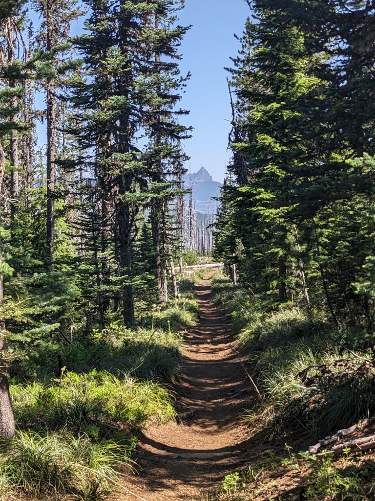
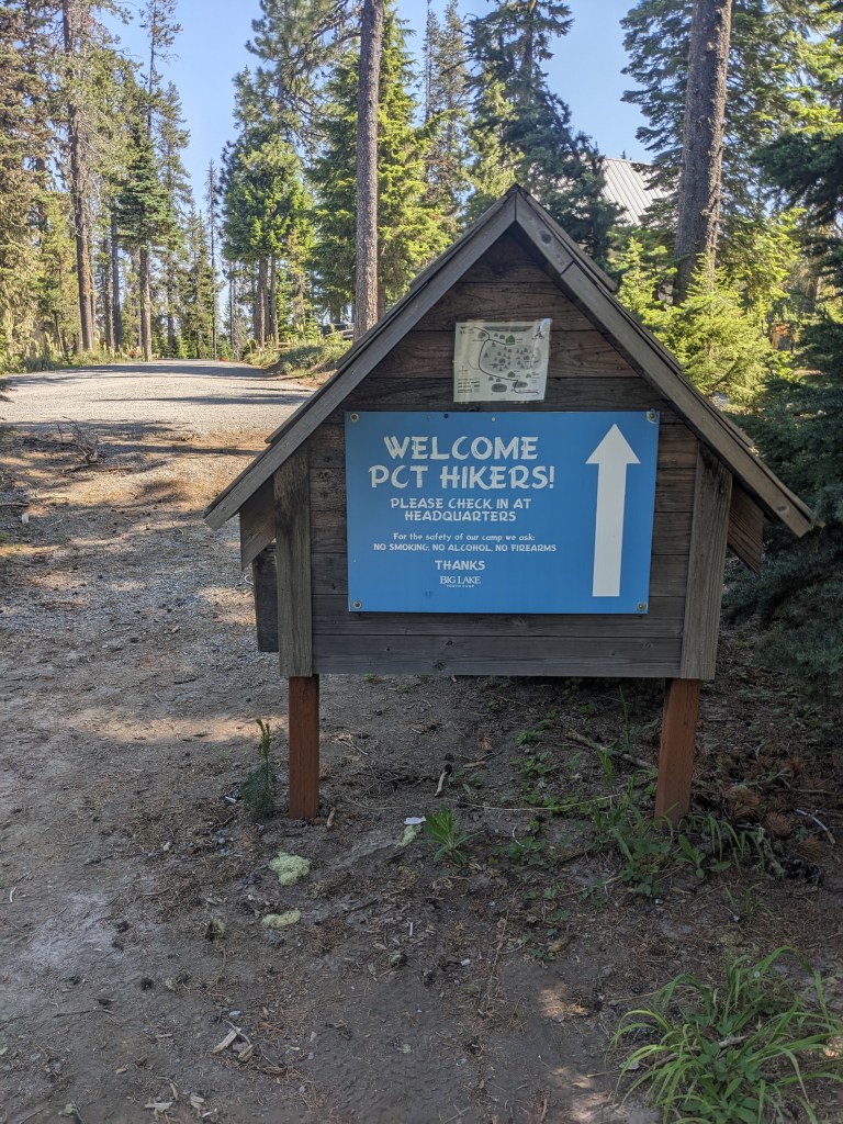
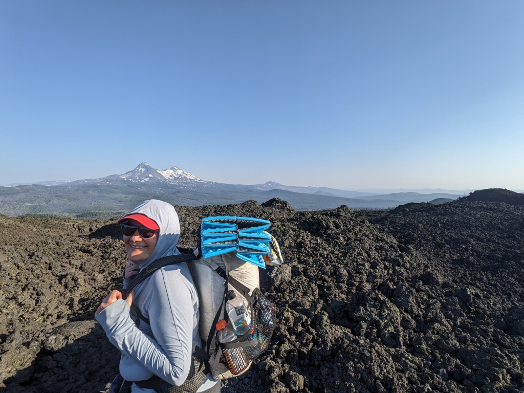
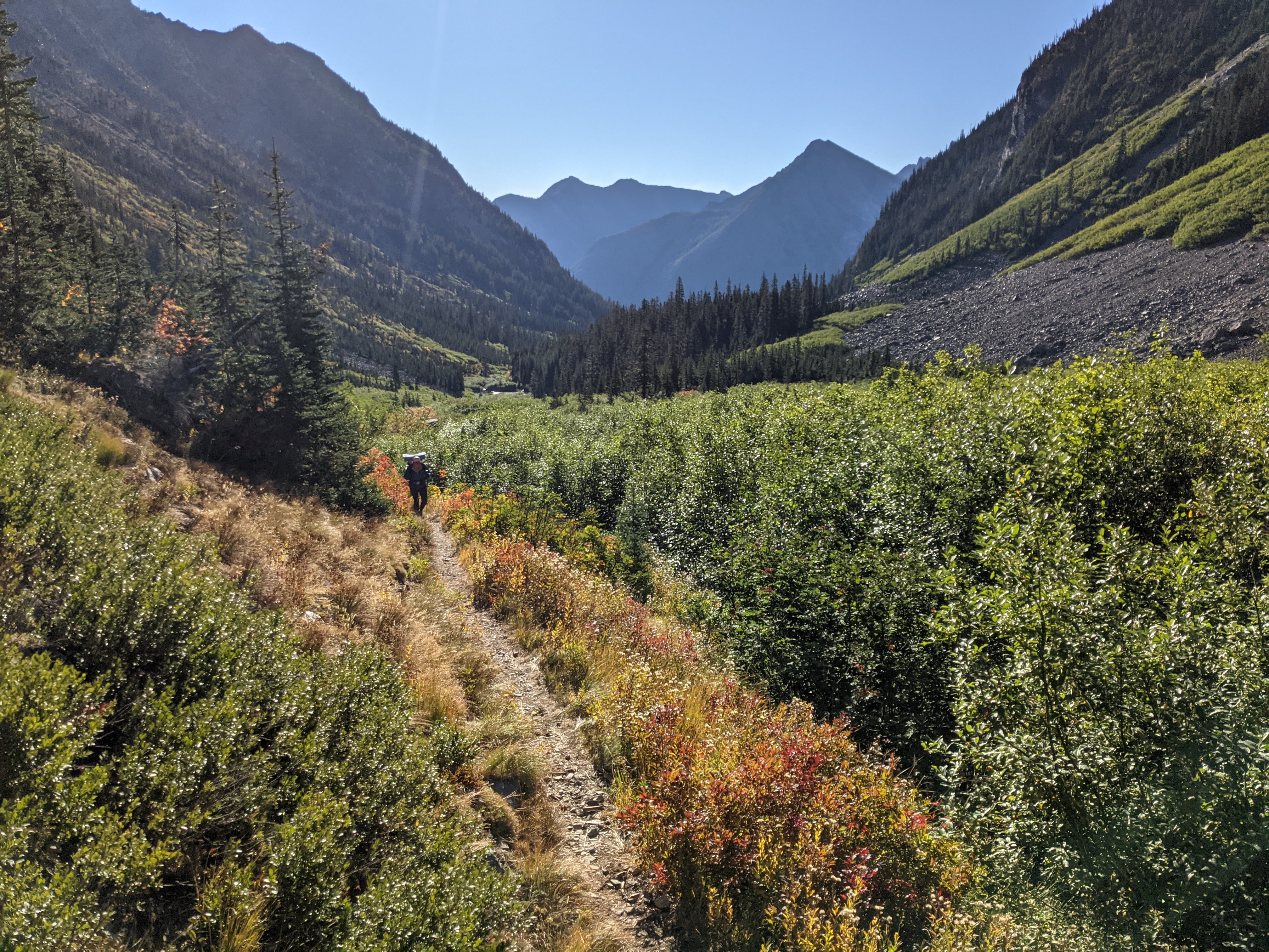
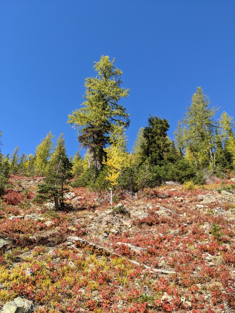
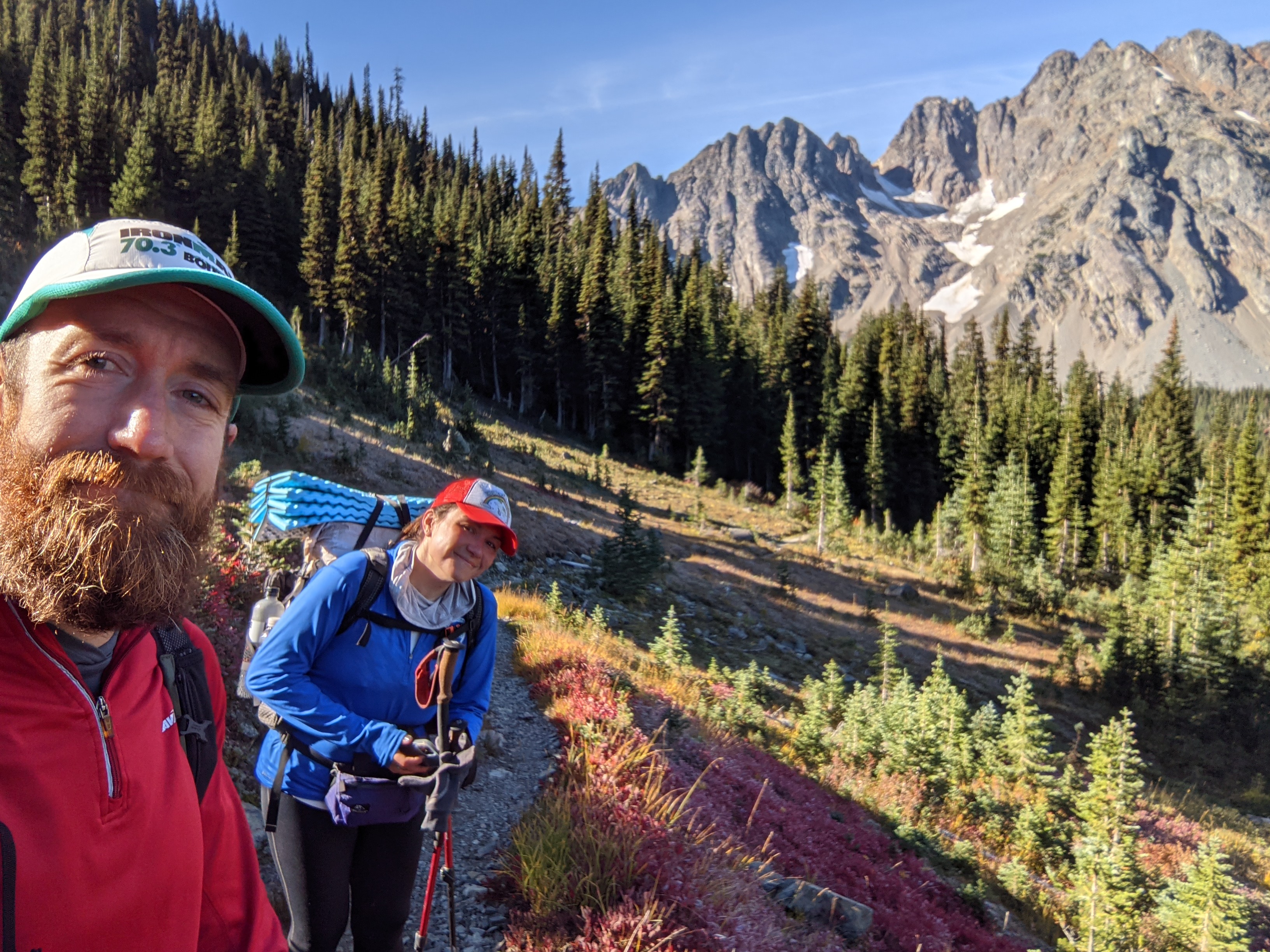
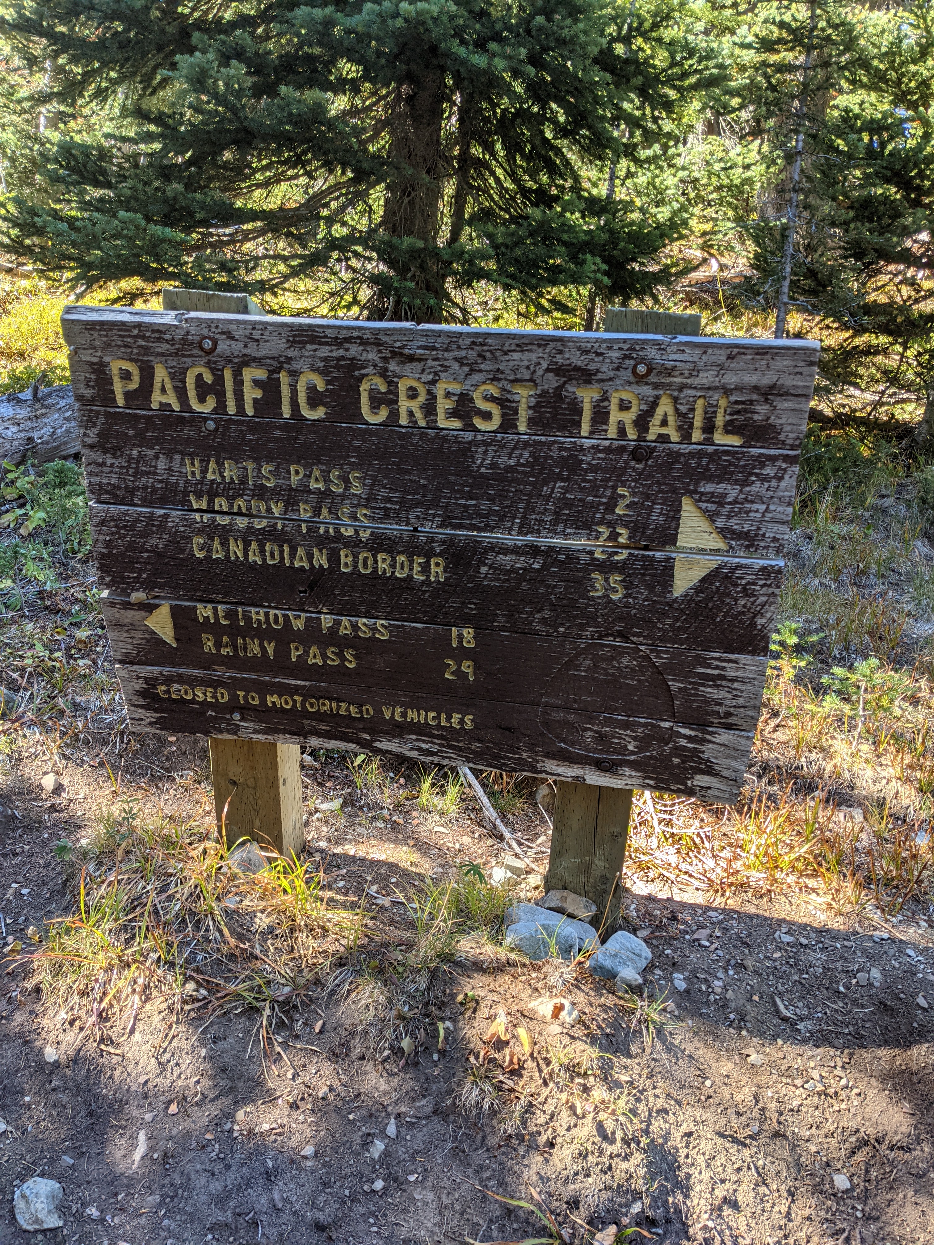
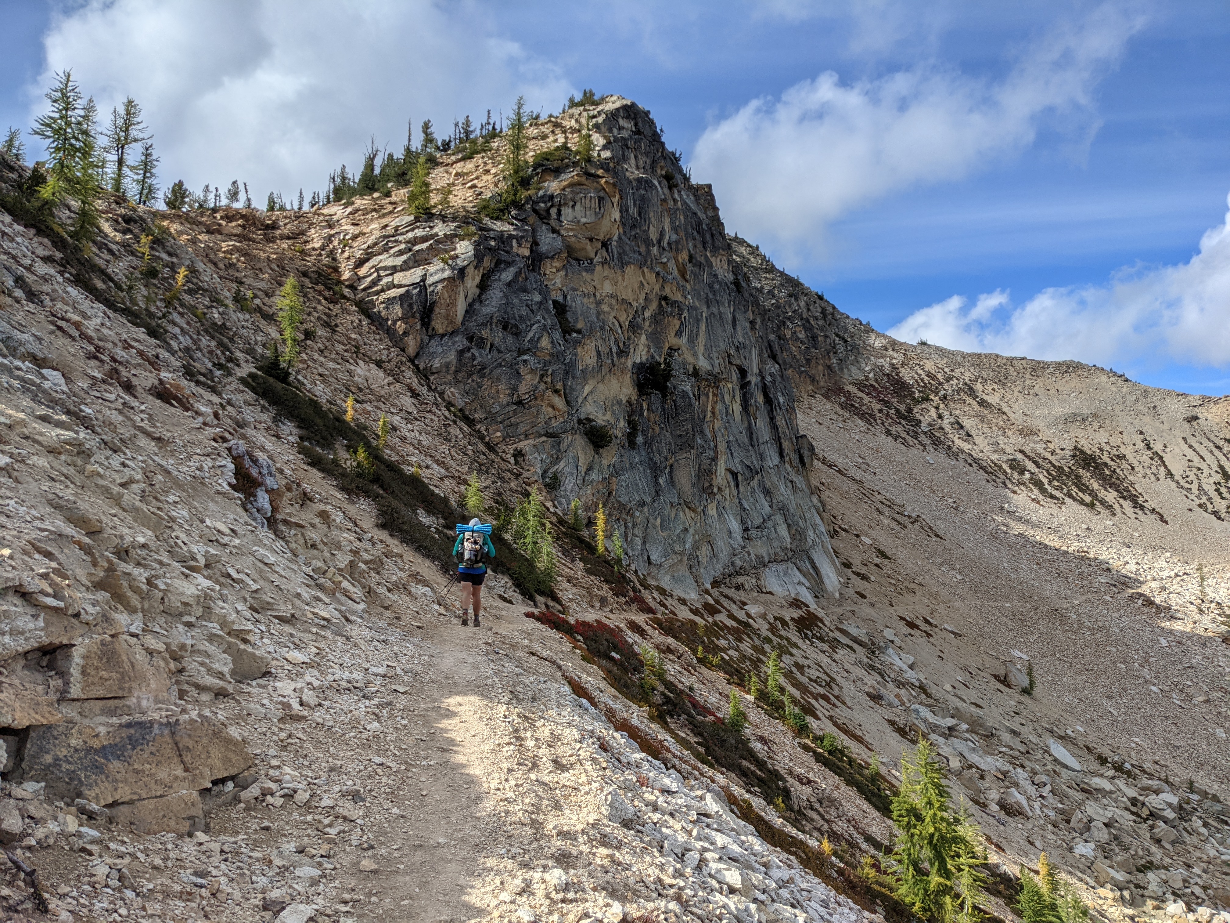
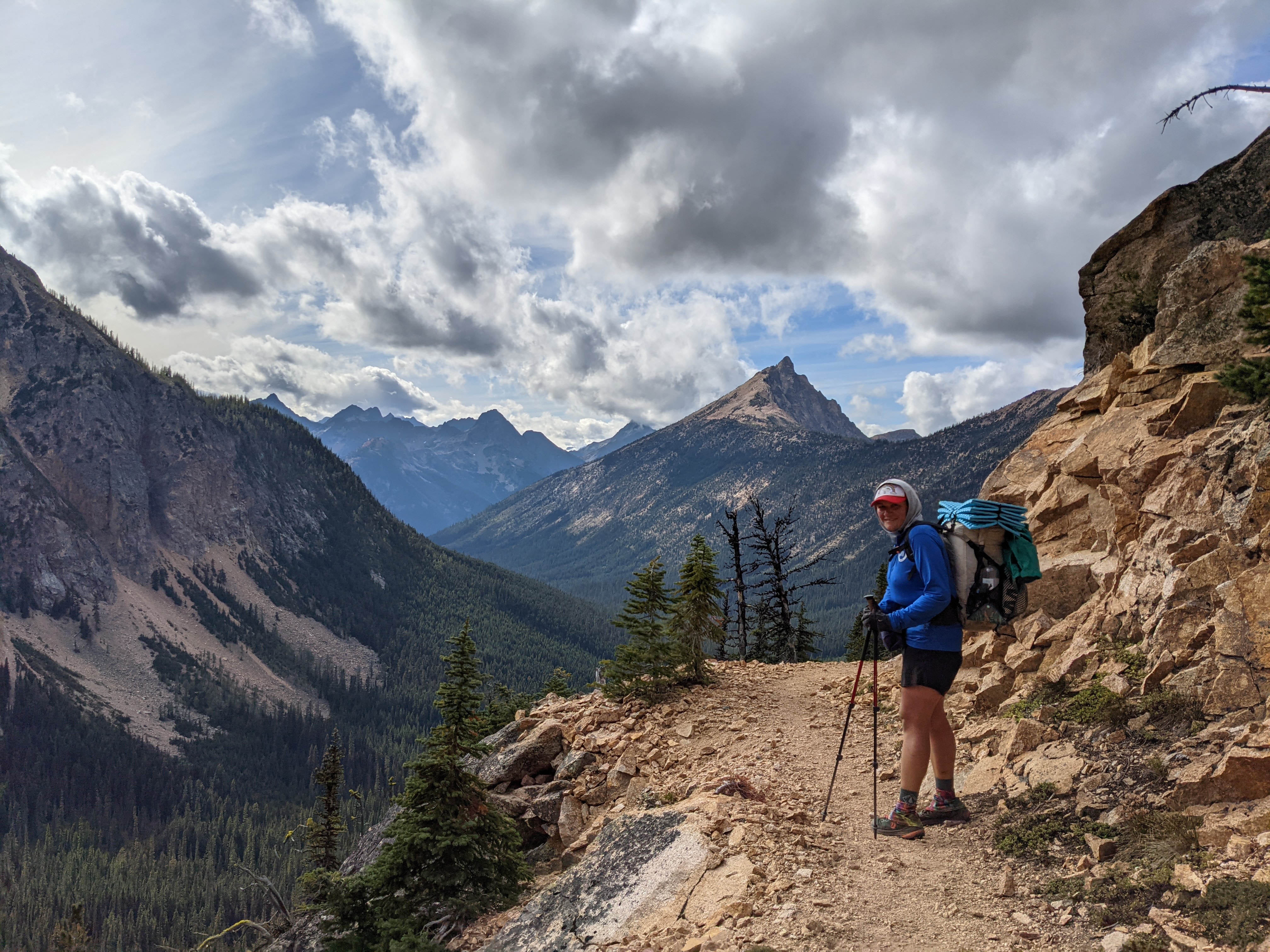
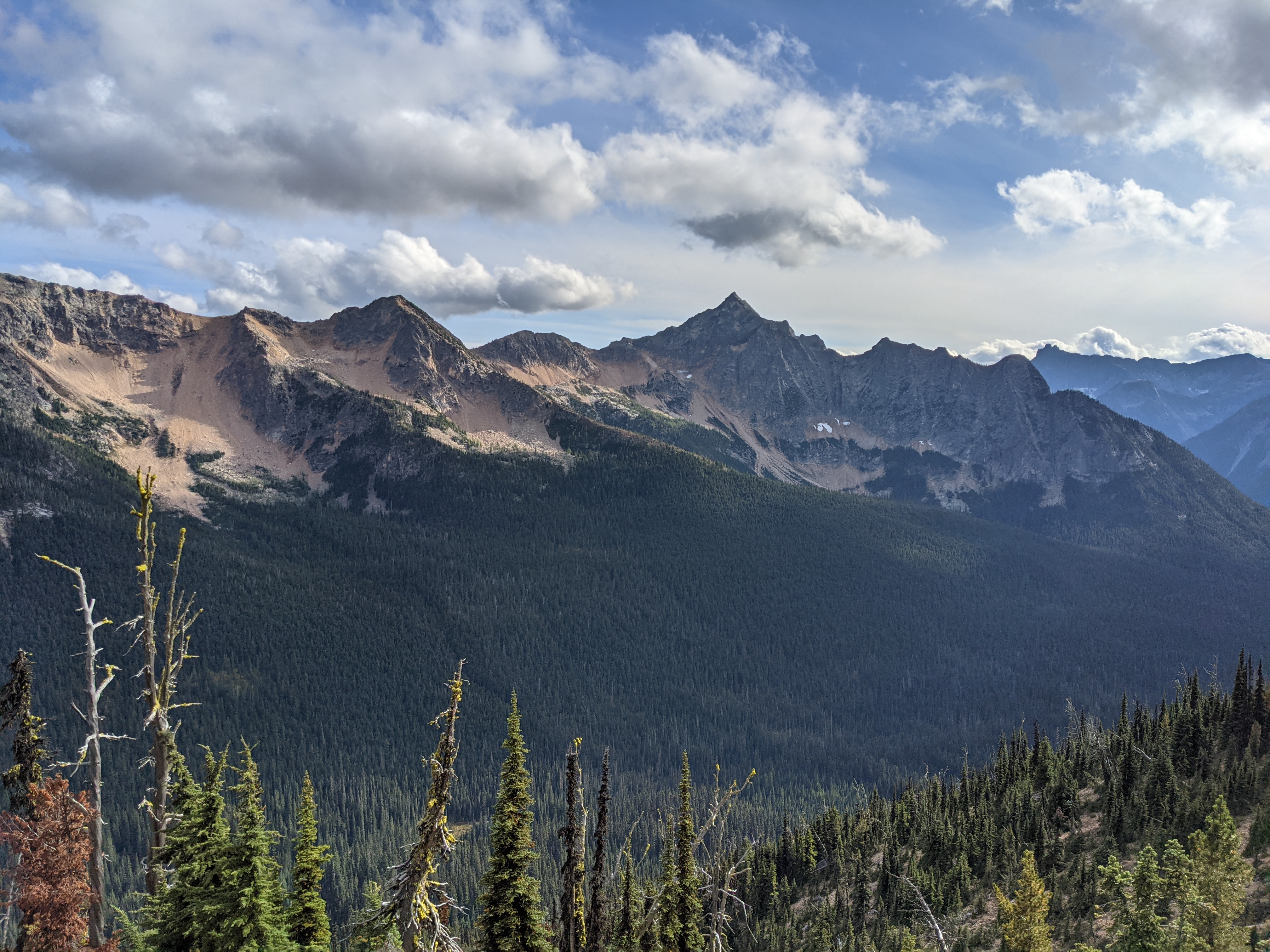
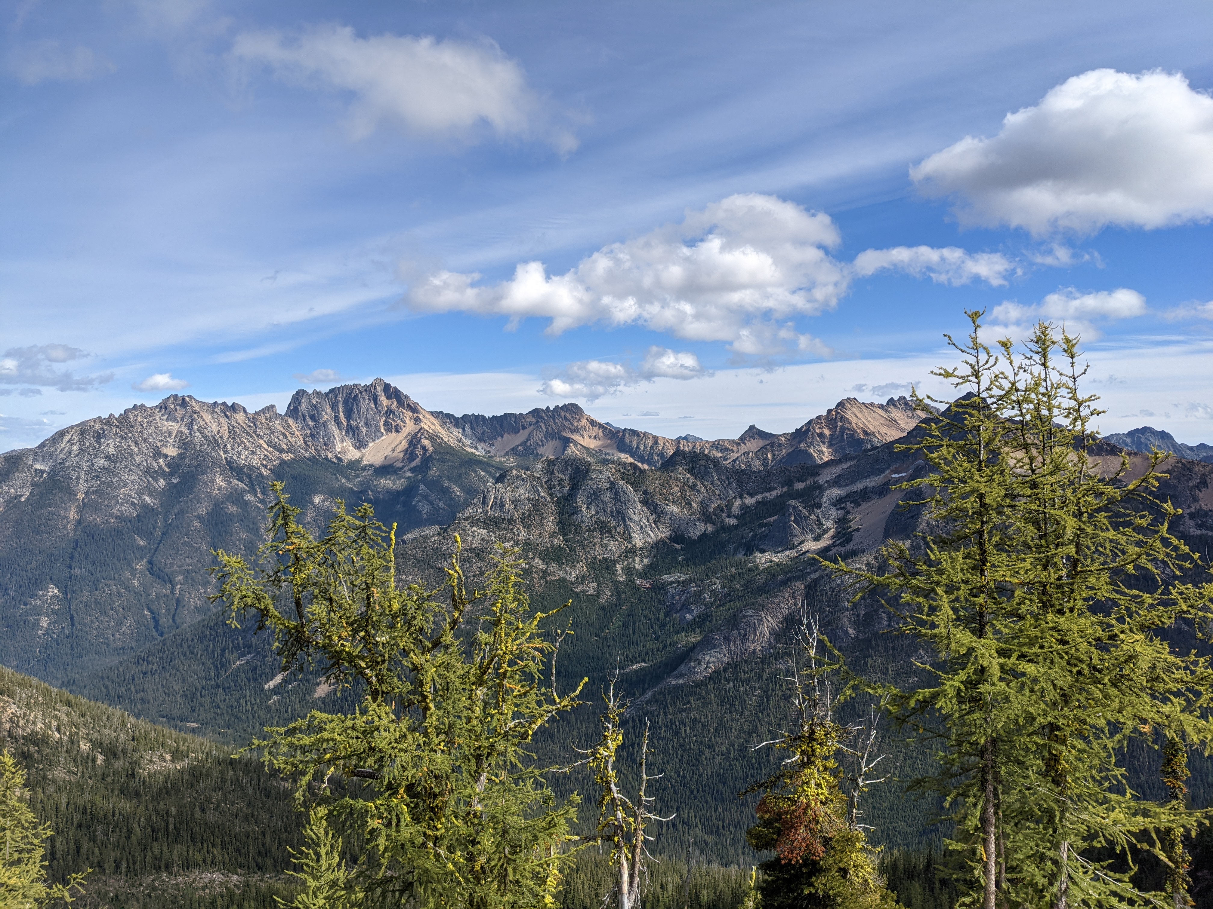
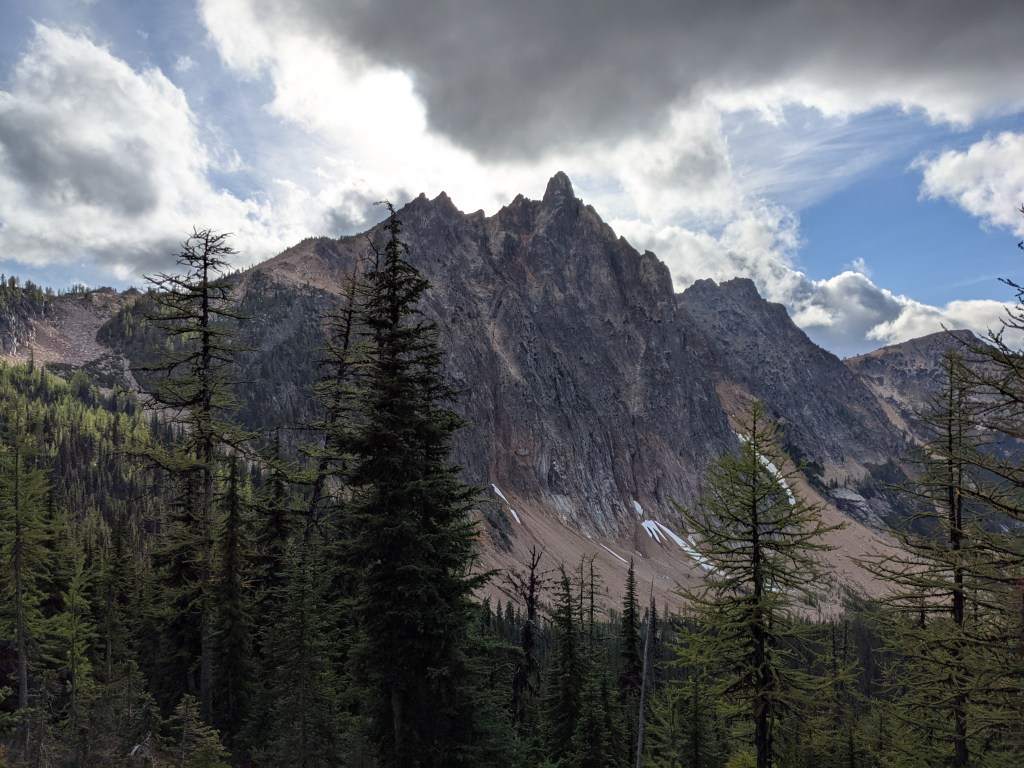
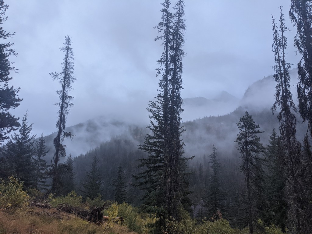
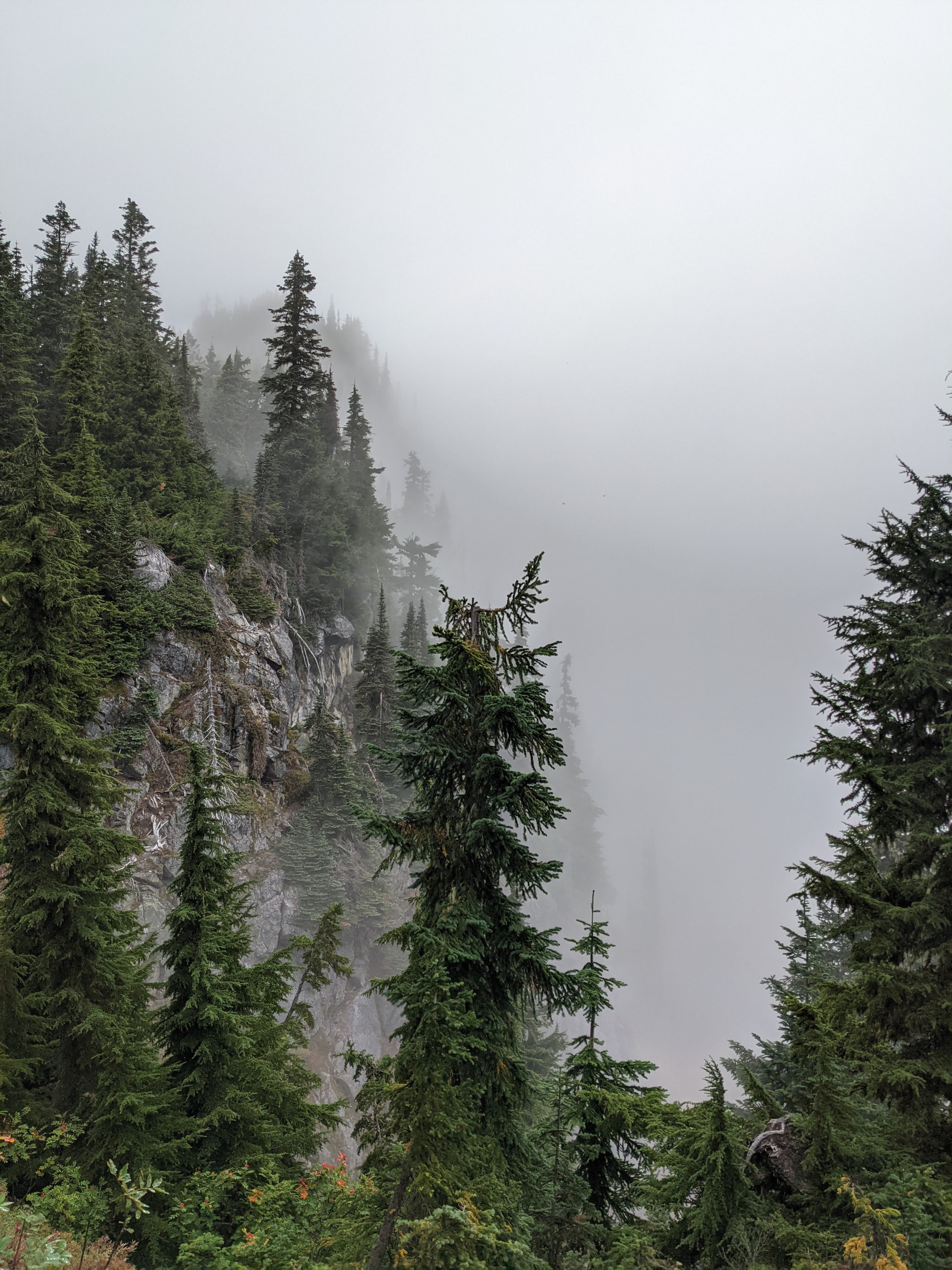
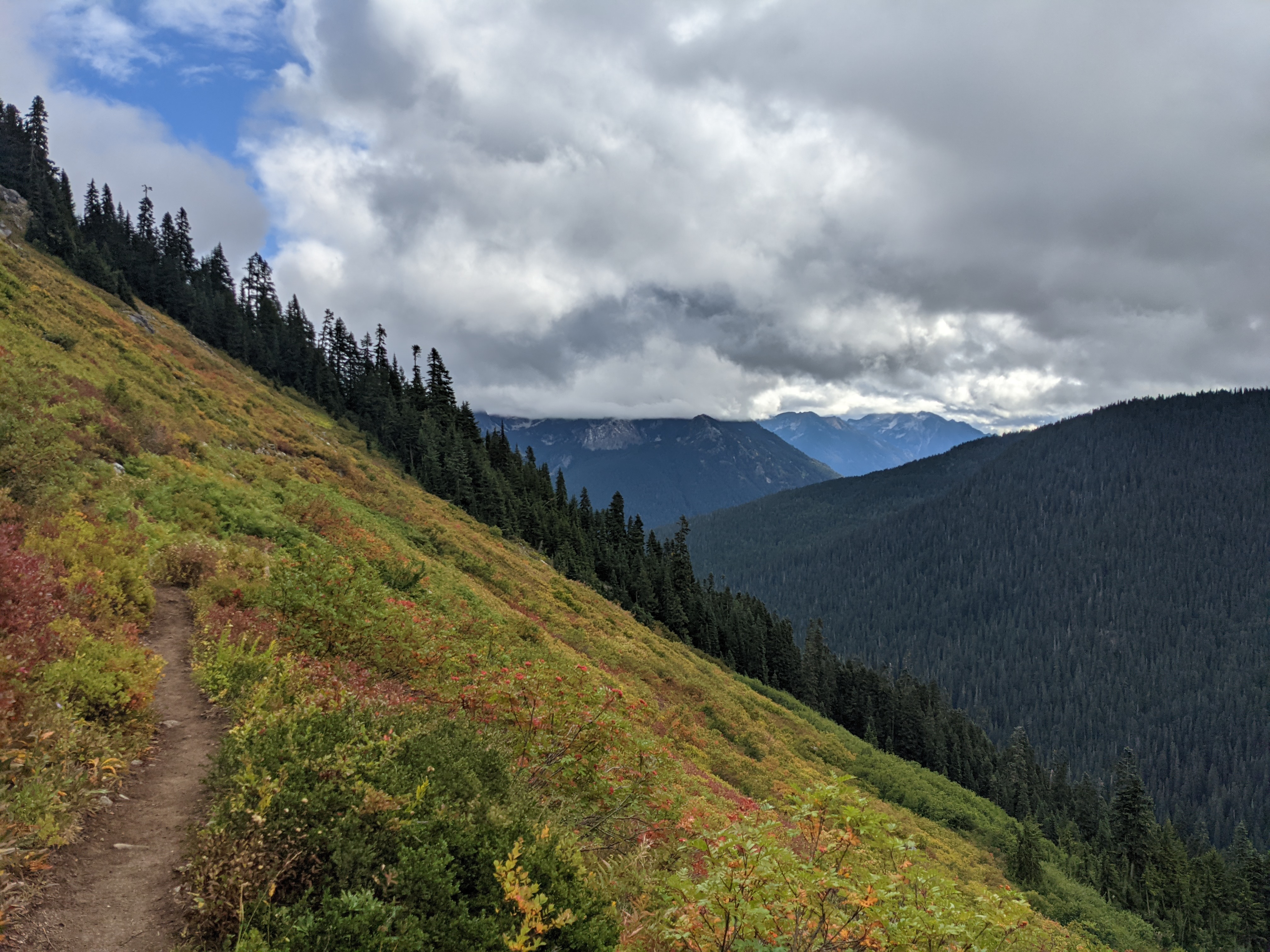
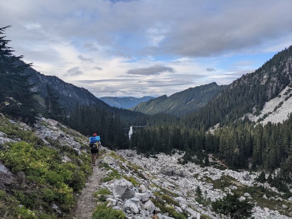
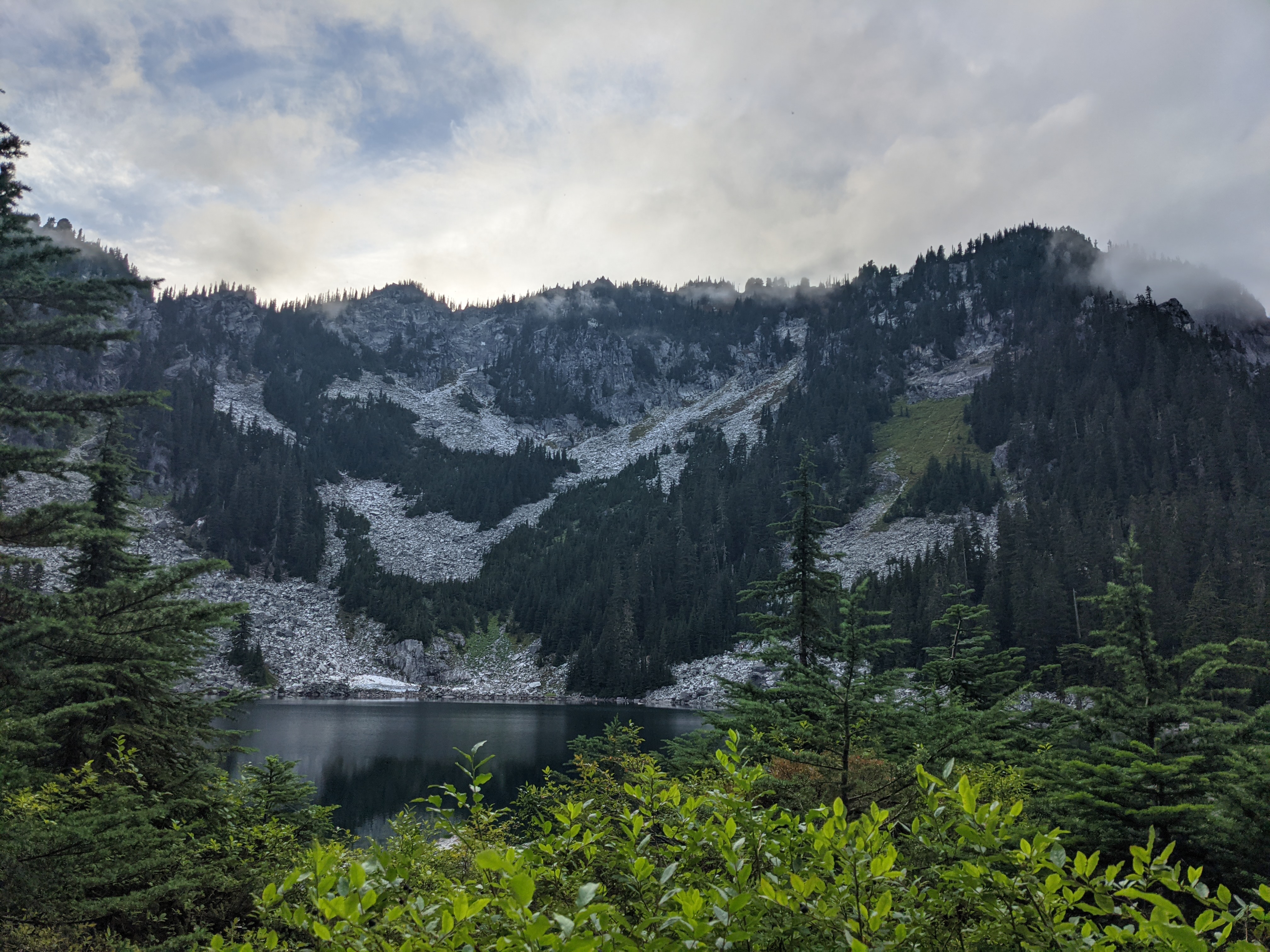
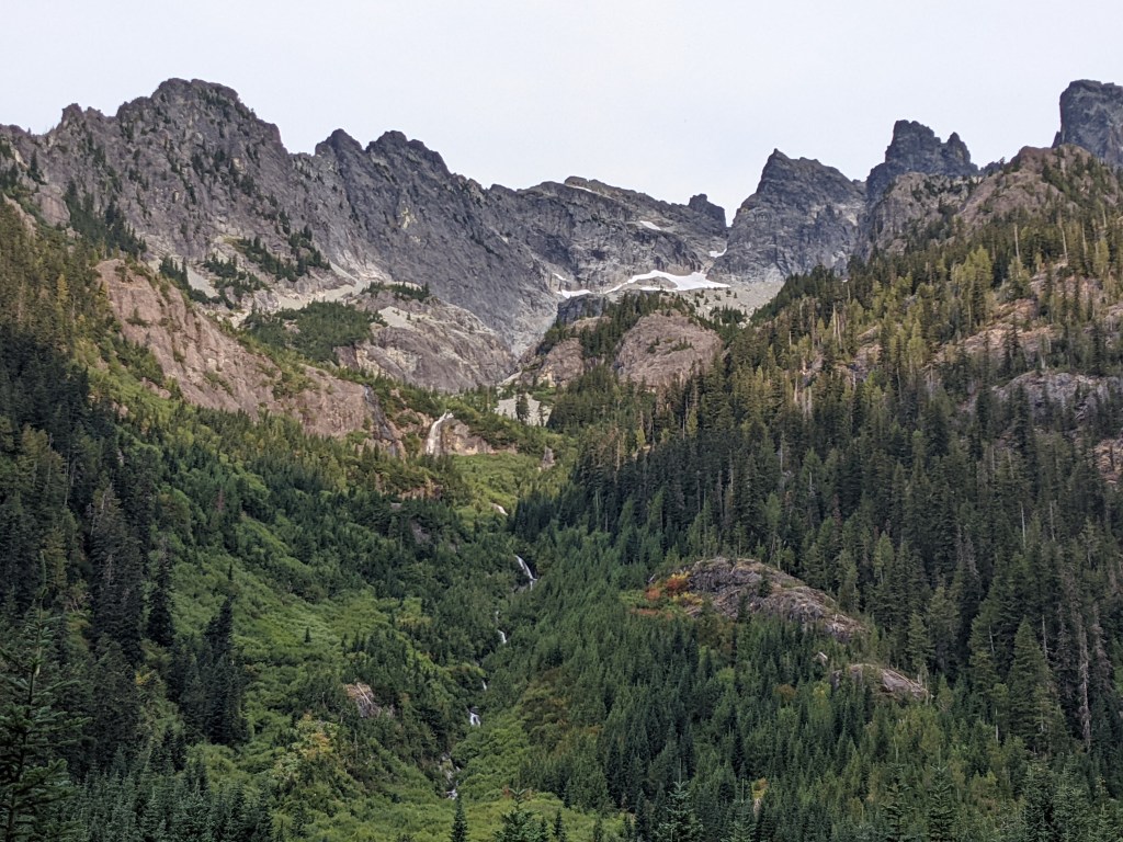
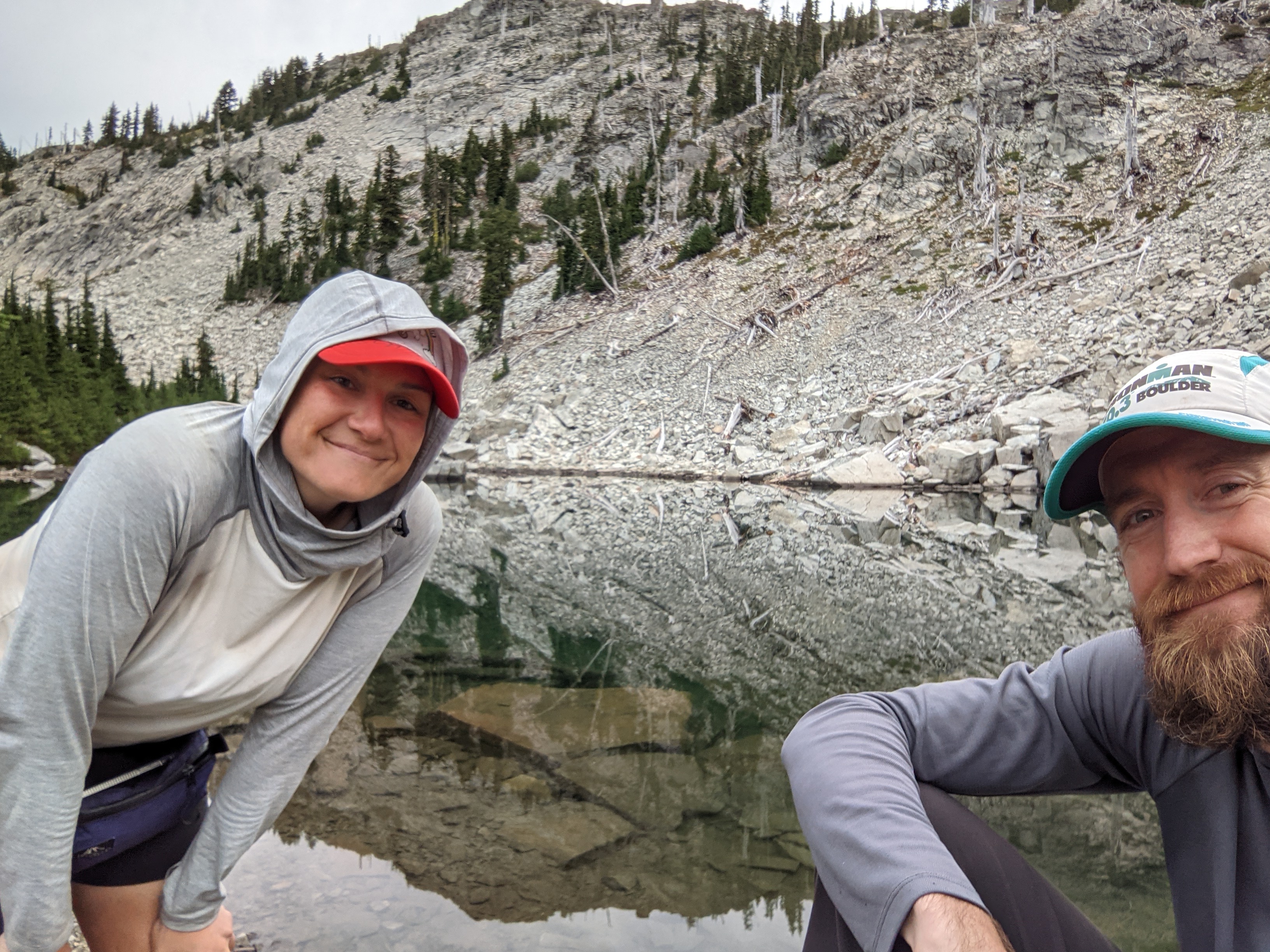
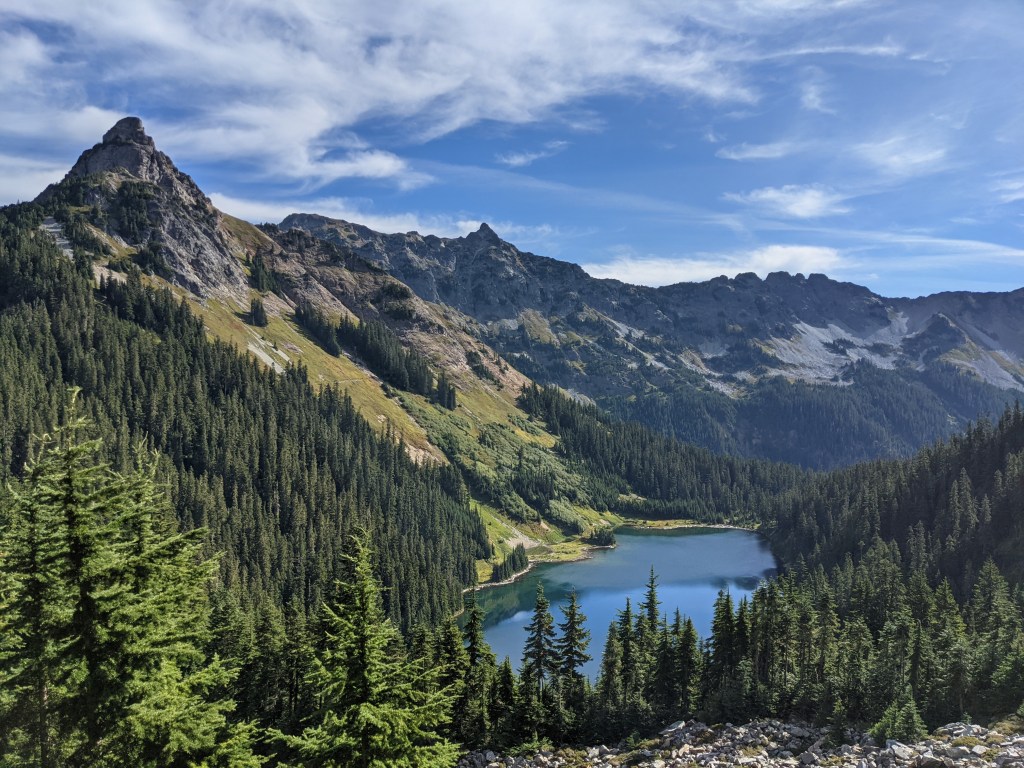
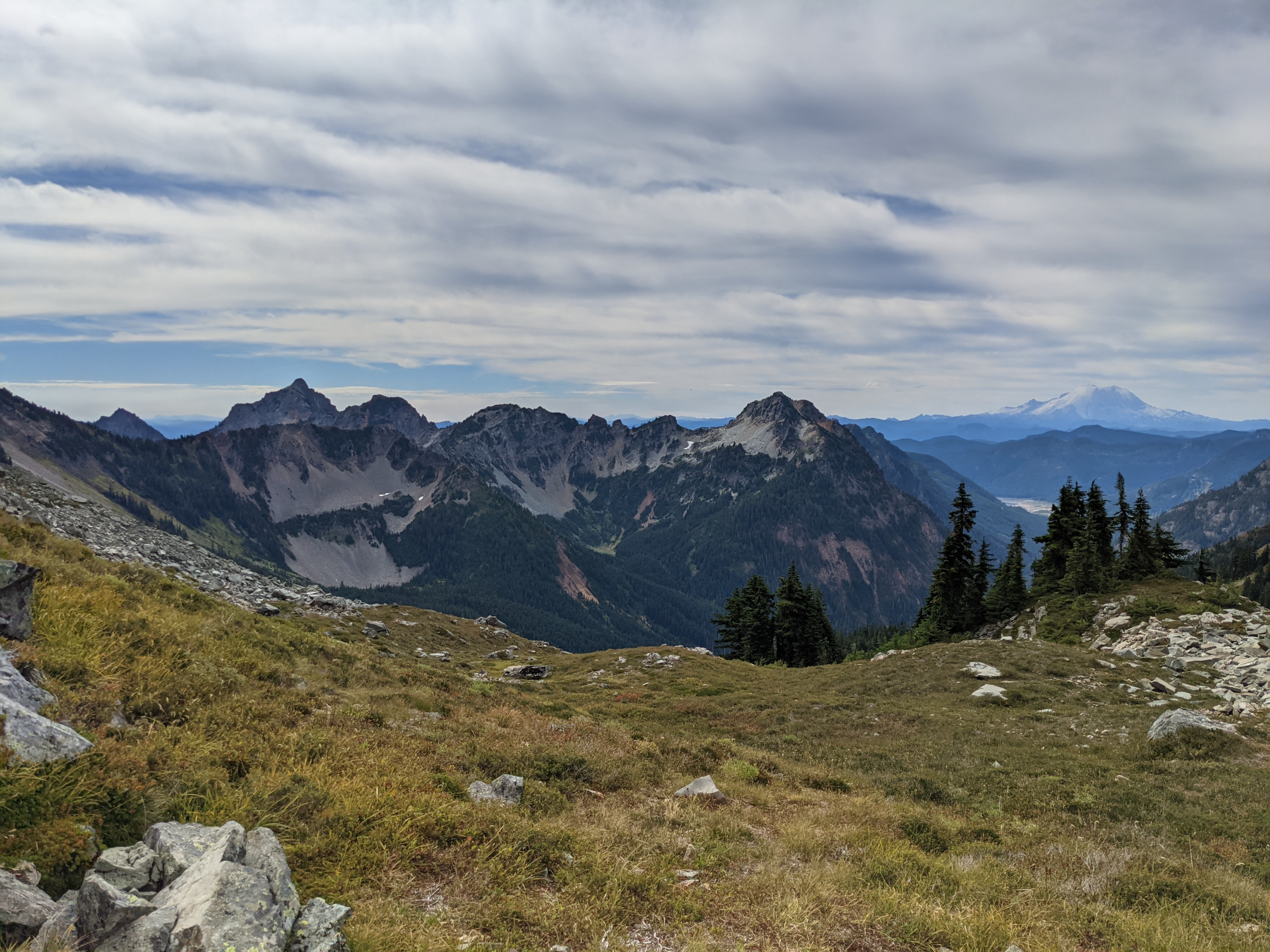
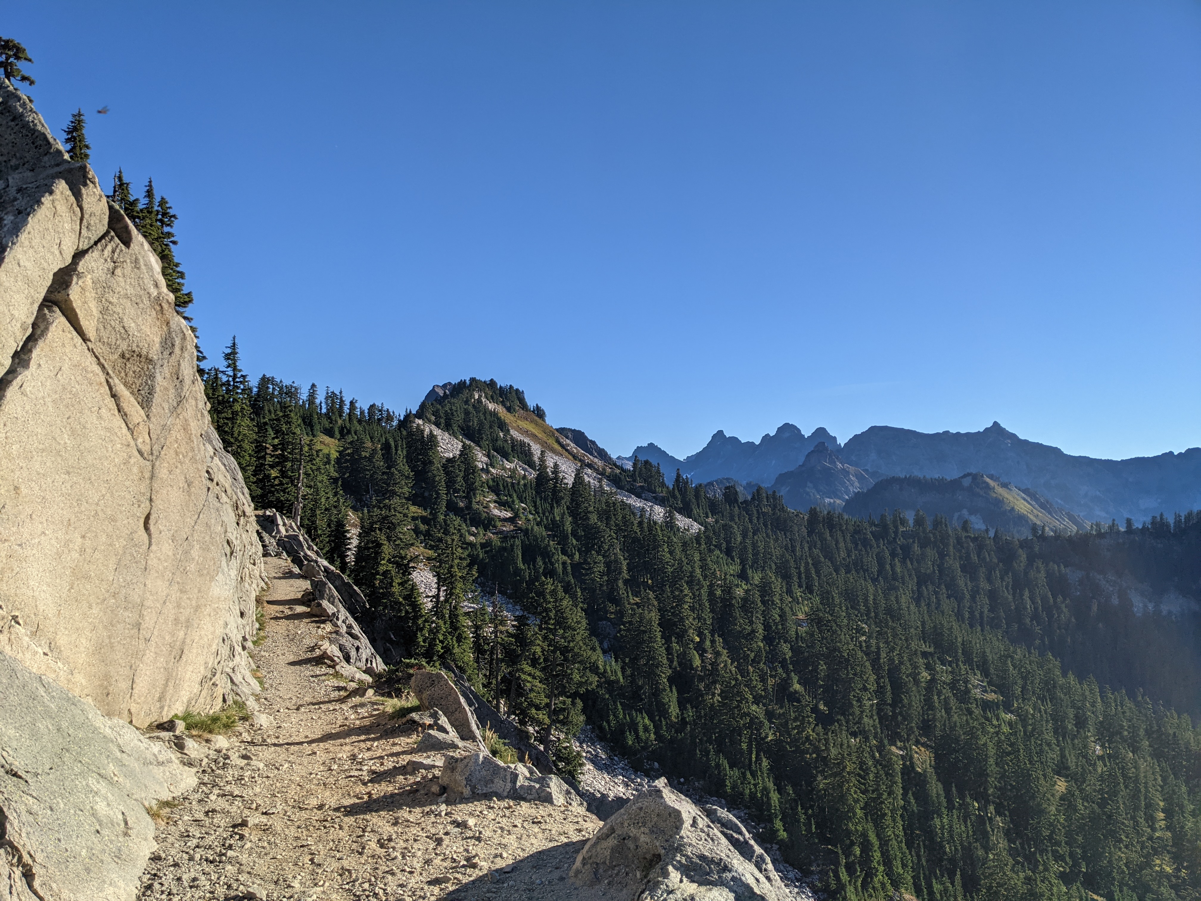
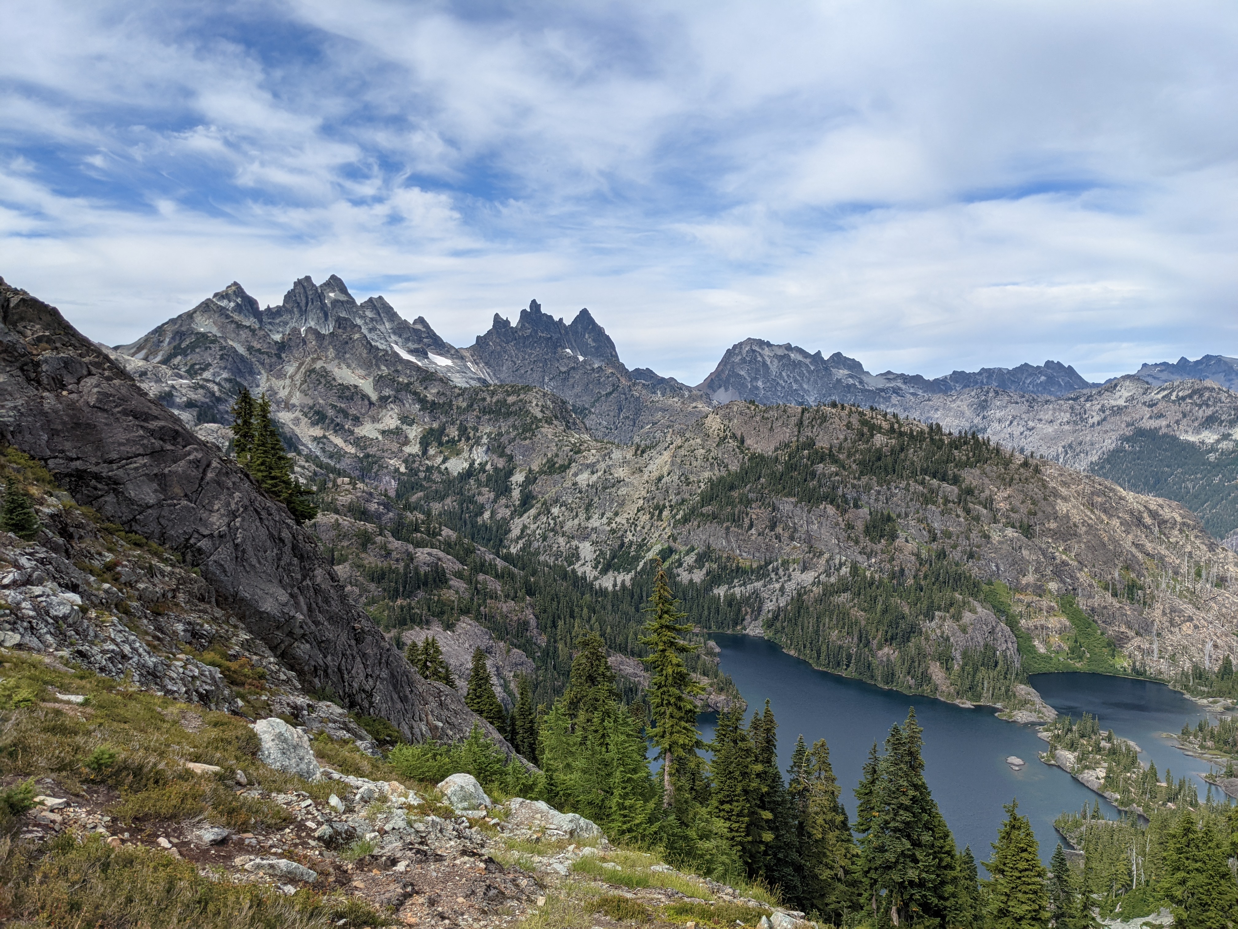
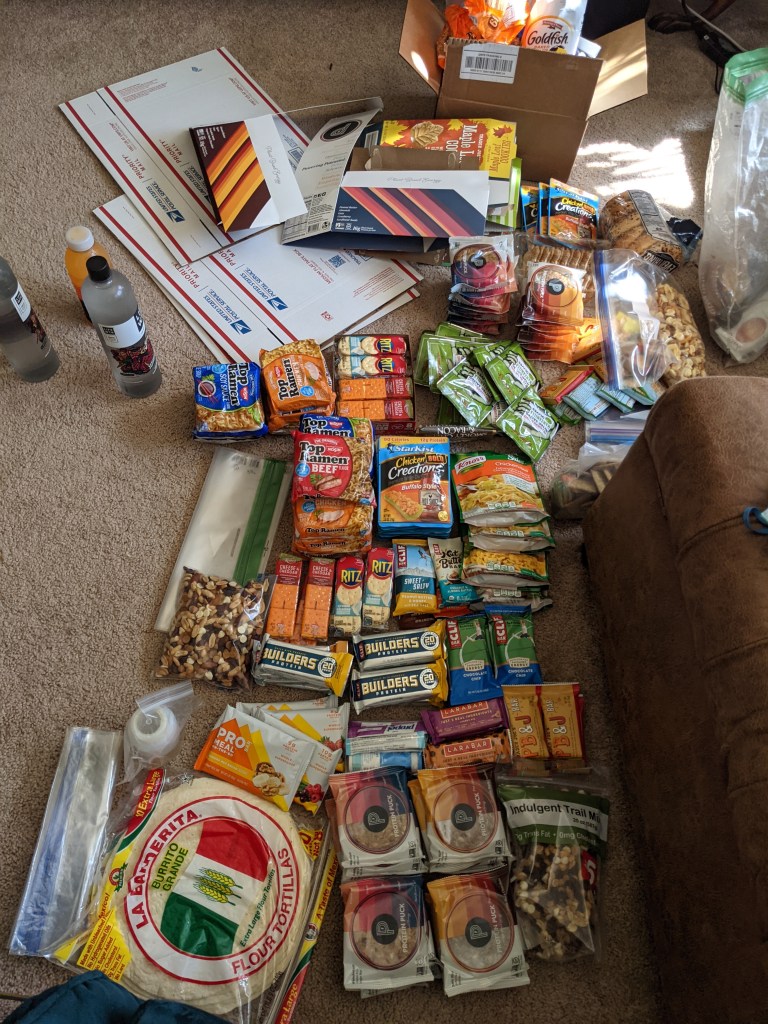
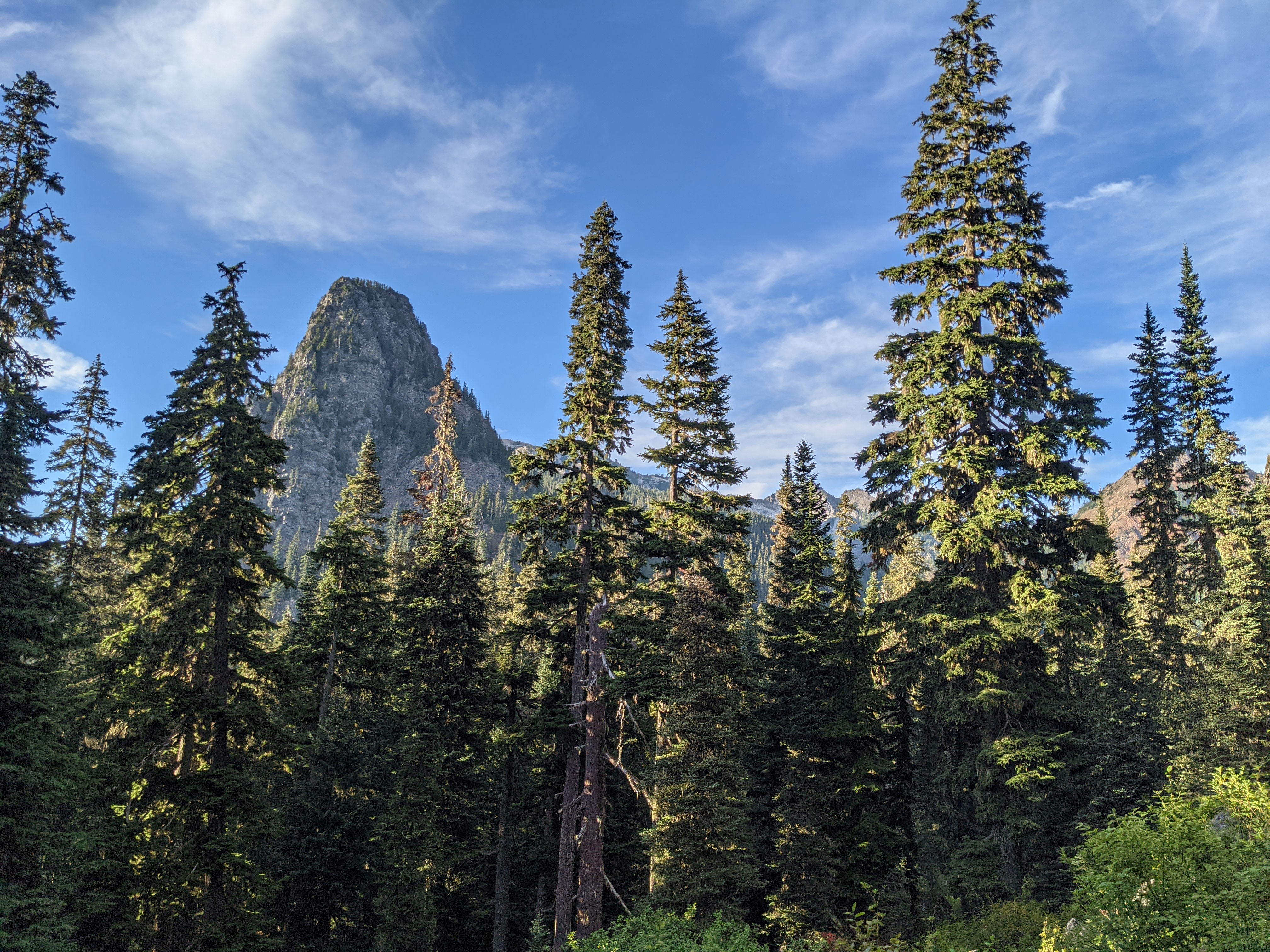
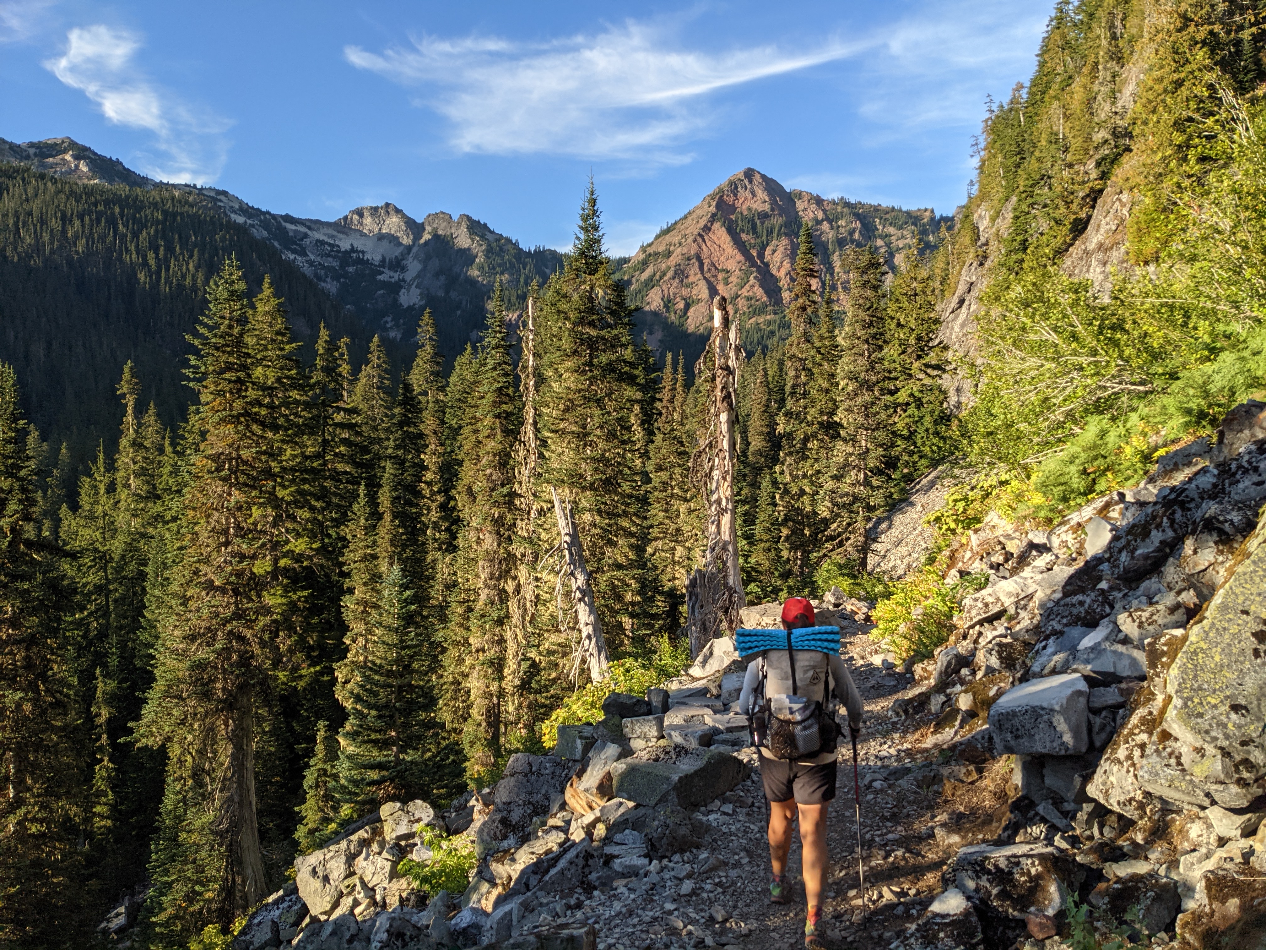
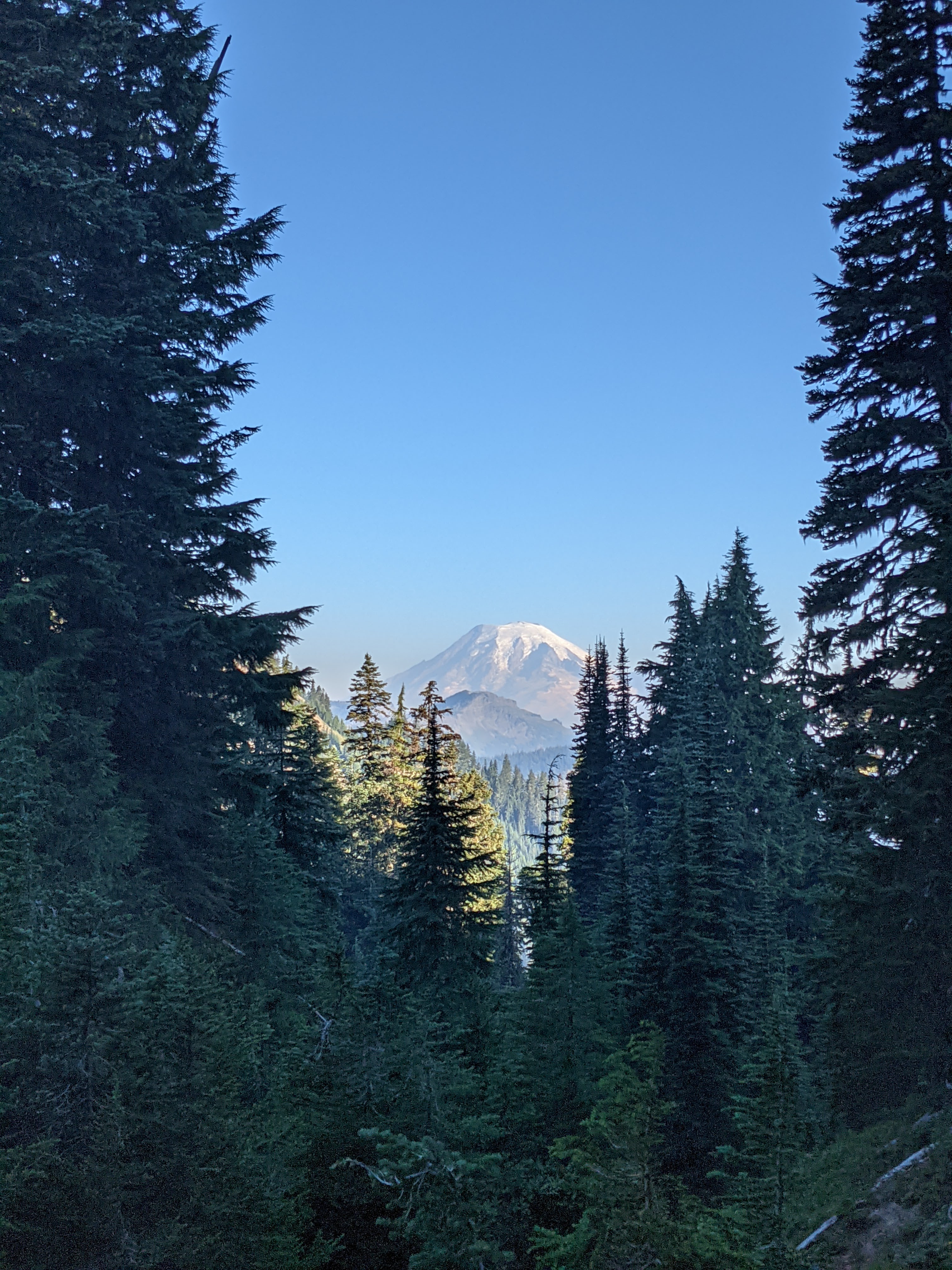
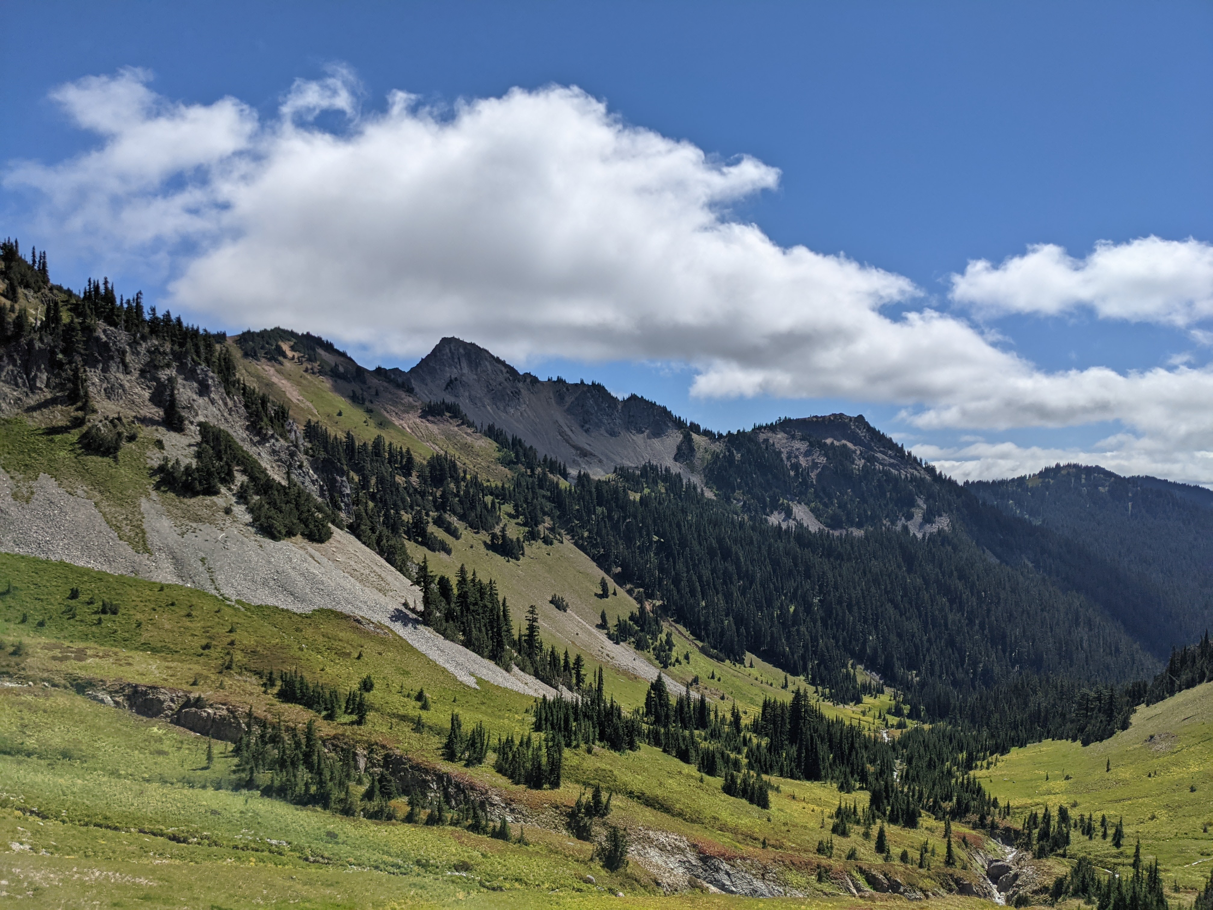
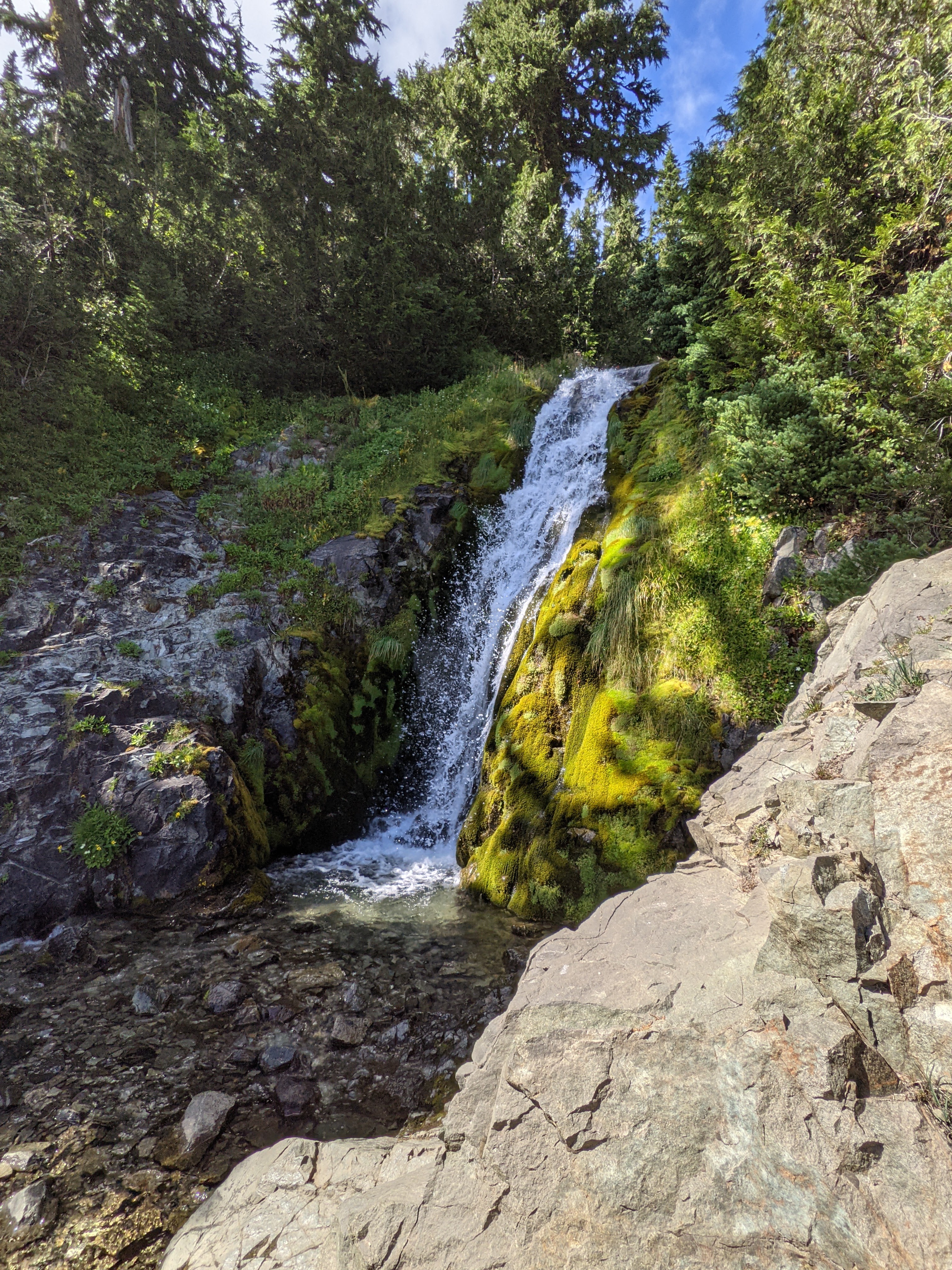
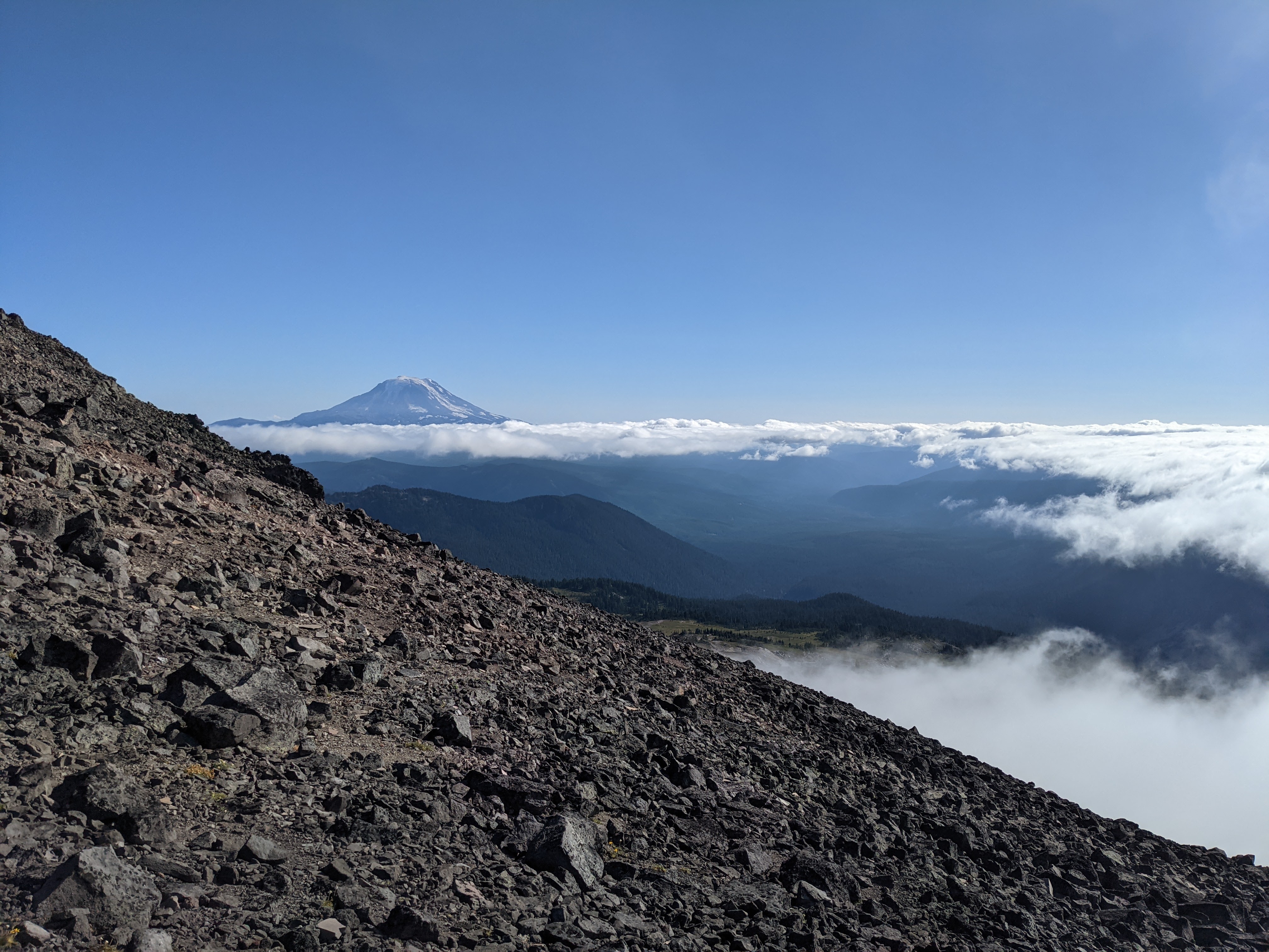
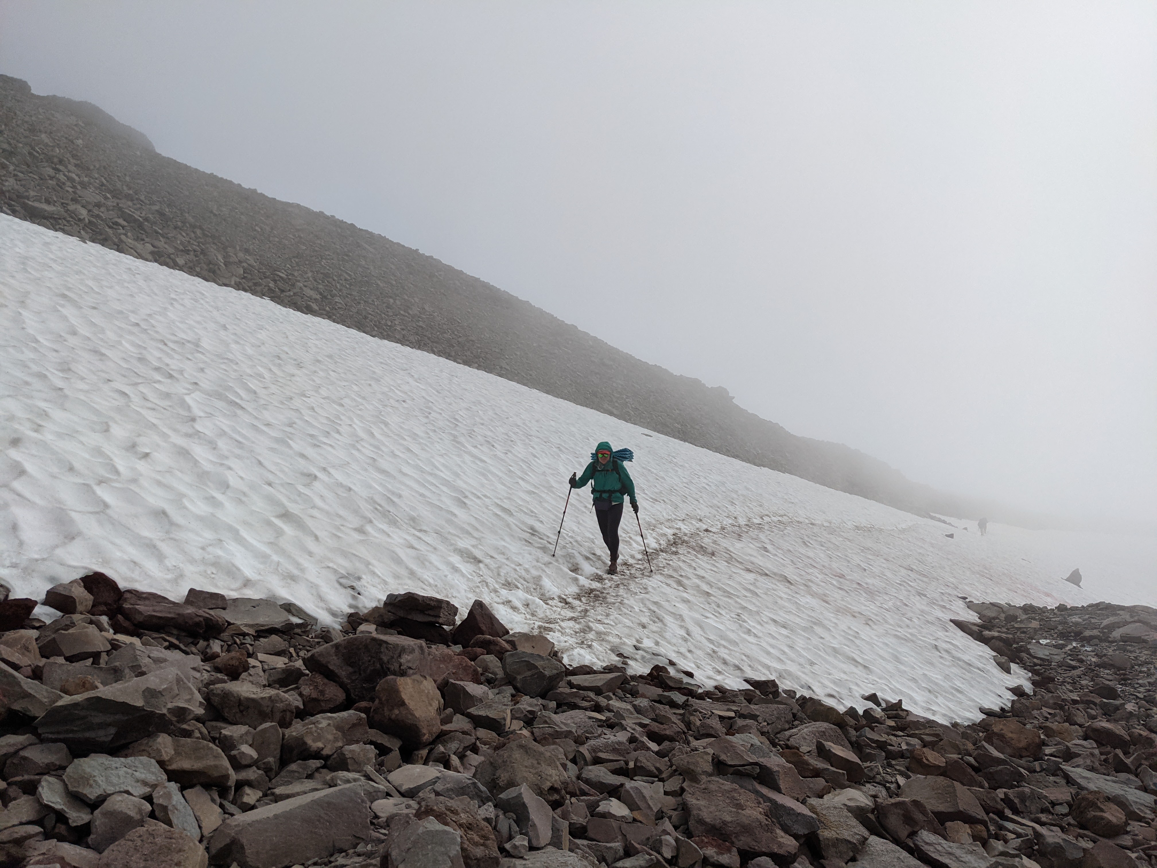
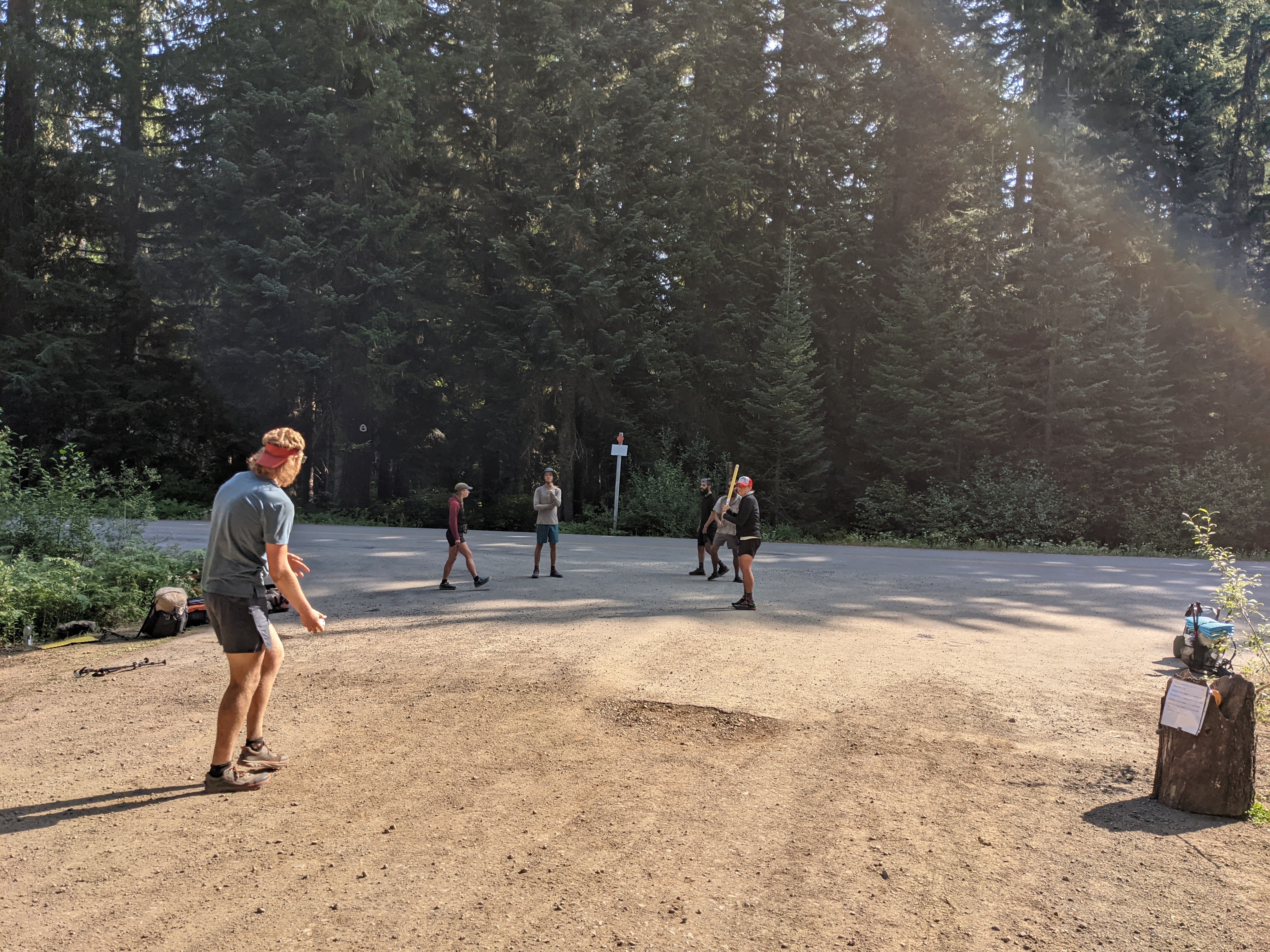
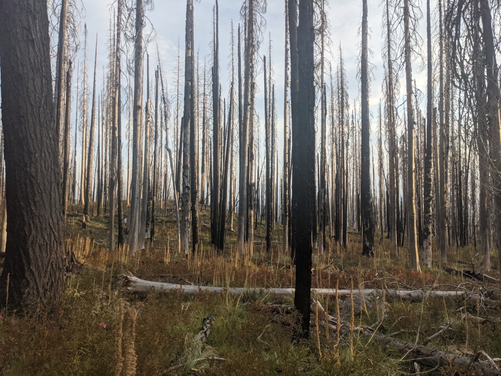
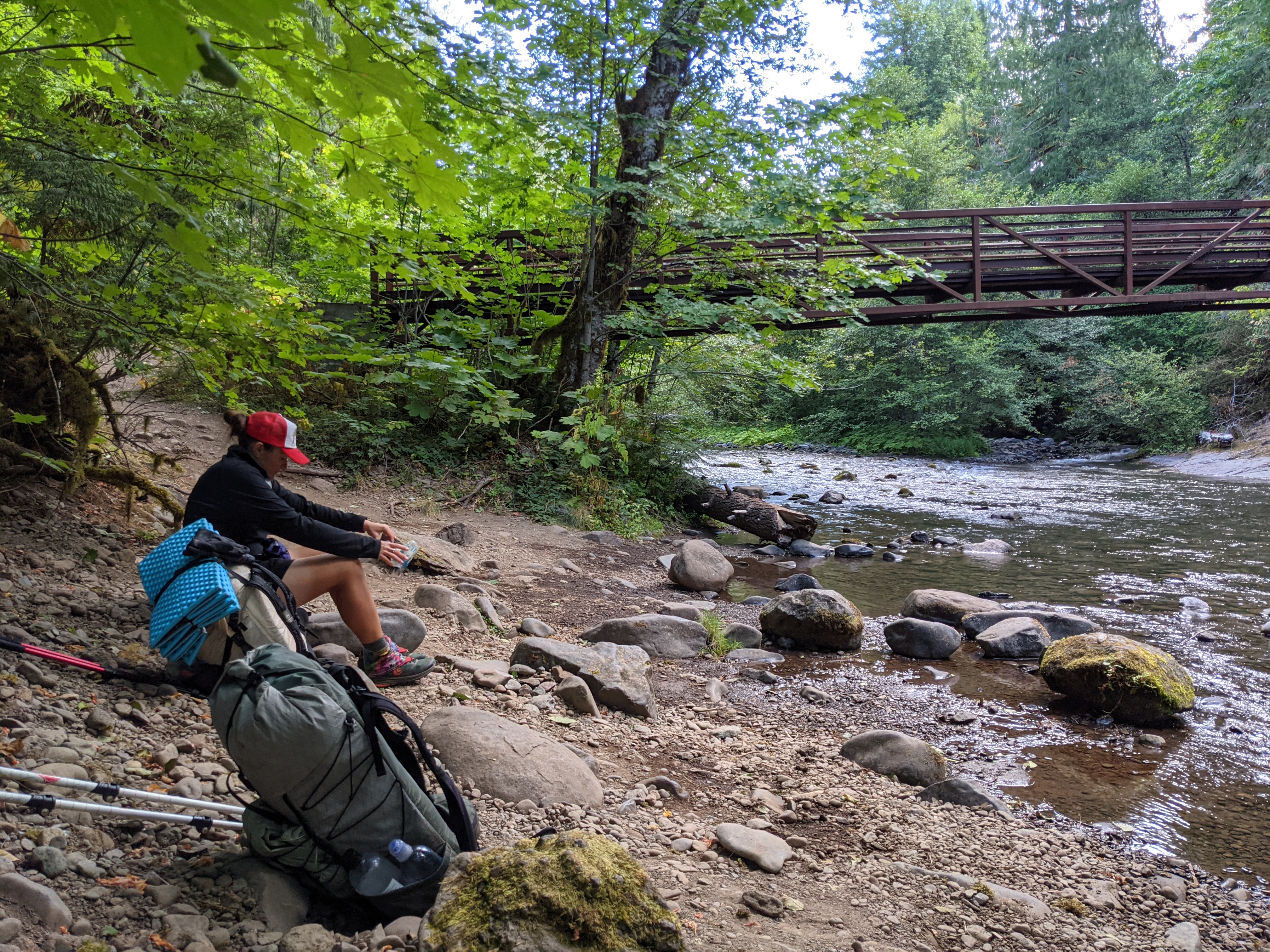
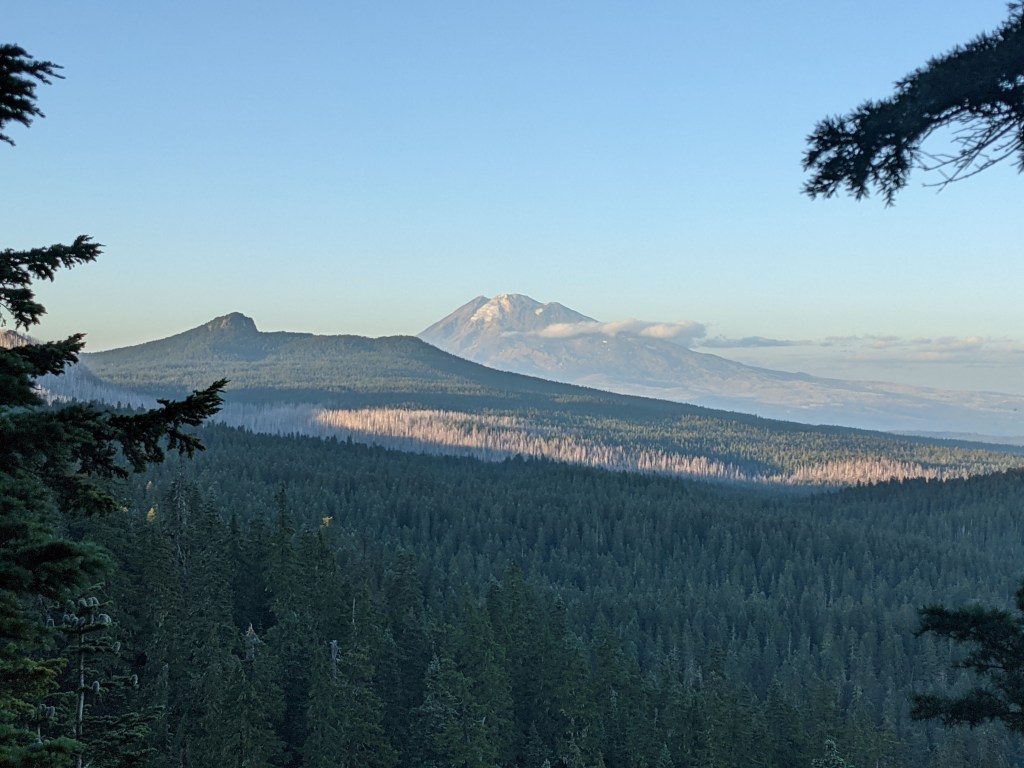
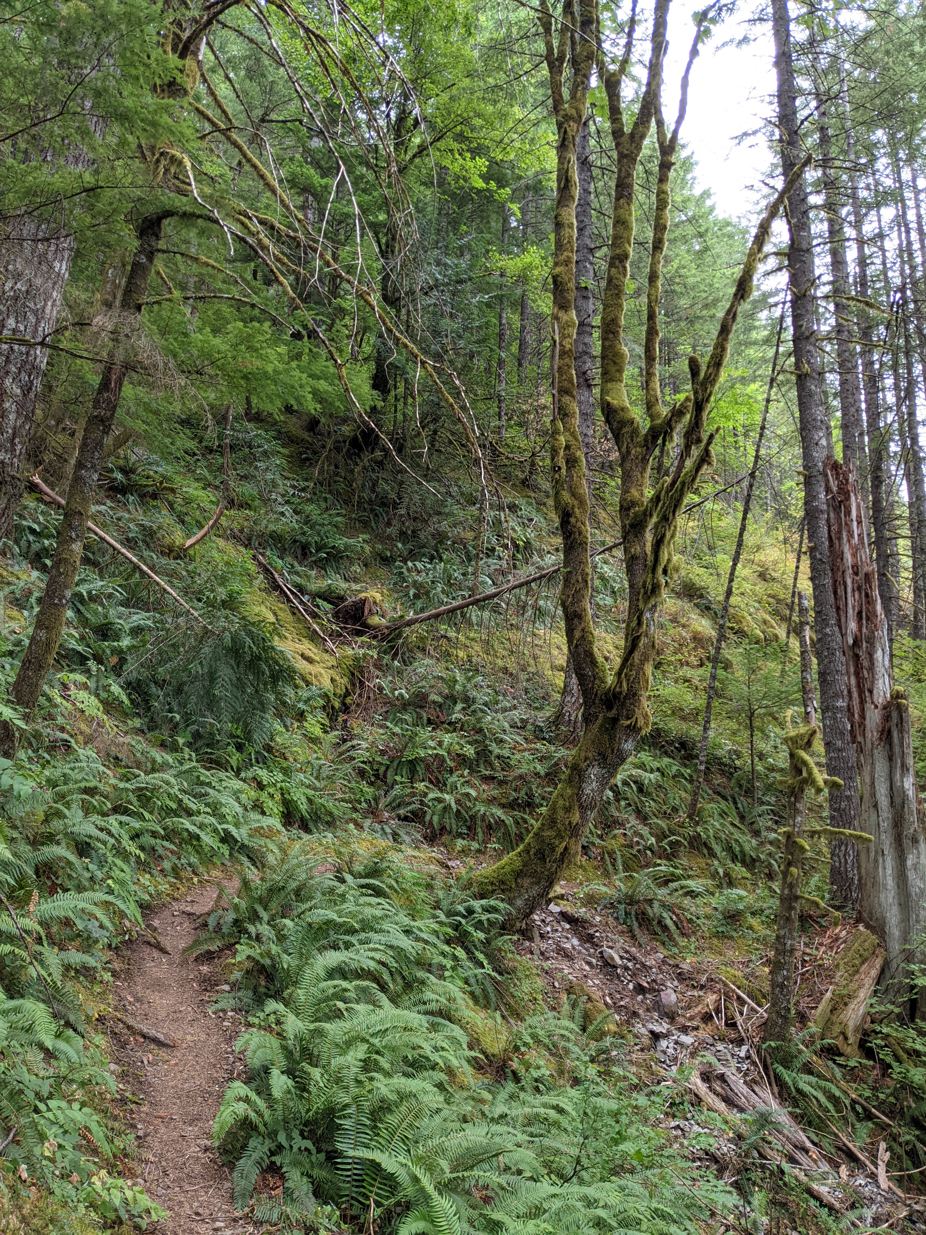
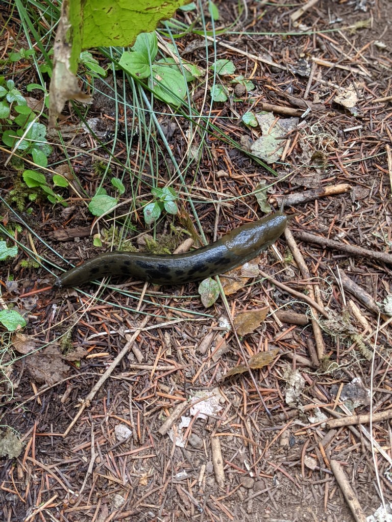
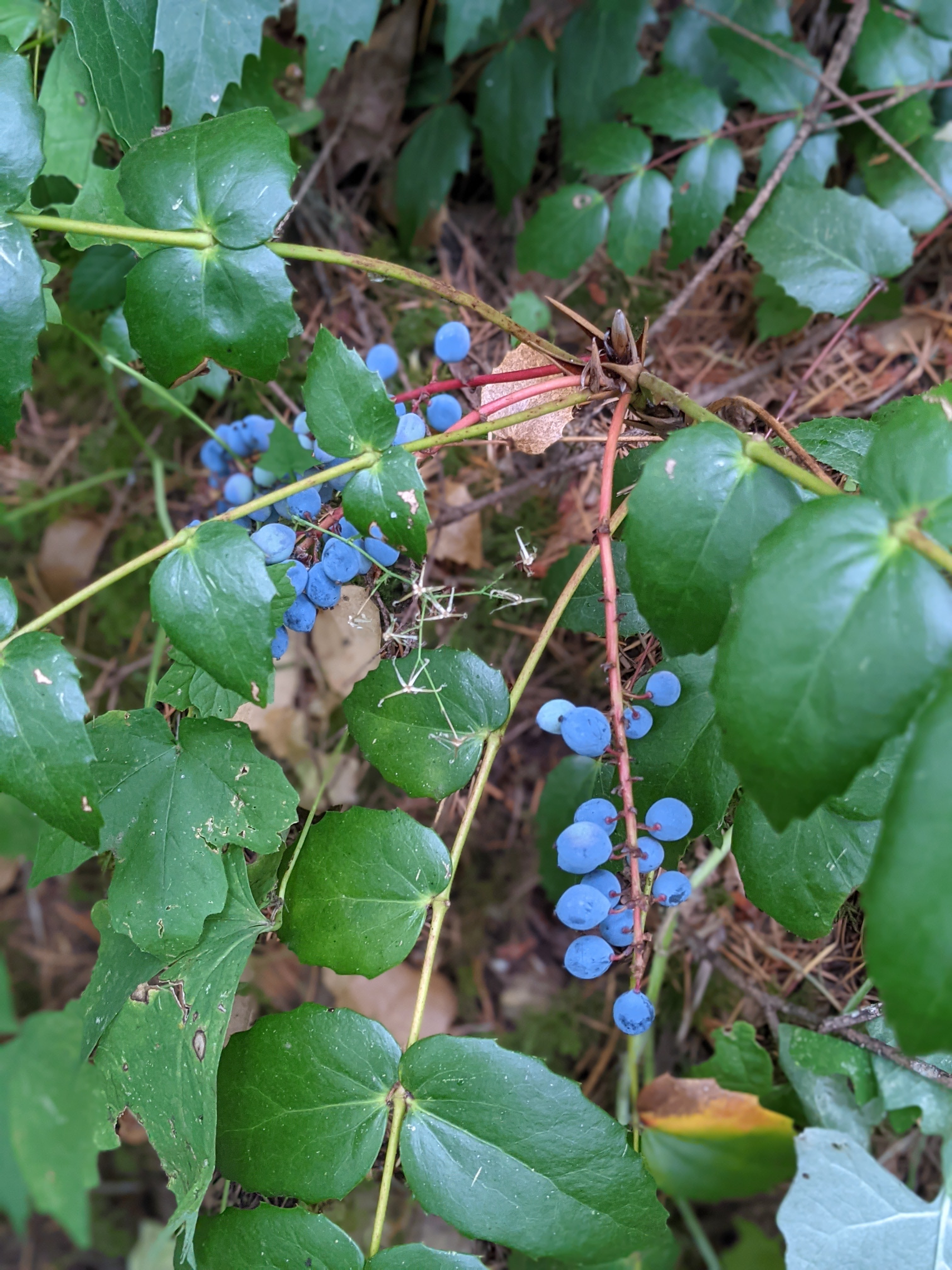
Rough day! Last night we rediscovered that one of the zippers in the tent needs replaced (rookie mistake #1, should have addressed that after our ’21 hike), and Marie’s pillow won’t hold air (rookie mistake #2, should have put a permanent fix instead of the tenacious tape that’s been on it since our ’21 hike). We also had to be strict with water since we hadn’t brought enough with us (rookie mistake #3, should have brought more water from the start based on our target miles and high temps). We made it work though. The zipper can work if you guide it juuuust right, a combo of the deflating pillow and some extra clothes will be fine for a night or two, and we had a questionable water source in 4 miles. Had that small pool been dry, we would have been alright stretching our water the last couple miles downhill to Big Lake Youth Camp, no big deal. The tiny pool still had water though, so we lucked out. The youth camp is extremely generous to PCT hikers! We filled our bottles and I grabbed an extra couple liters for the day. We only hung out for a bit in their PCT Hiker building, but they have 3 meals a day, laundry, showers, water, a kitchen, resupply storage, and other hiker amenities. Super cool. We met a guy named Paul, a guy named Carrot, and a lady named Whimsy. Wanting to keep lightening our packs, we opted to head back out and eat the food we were carrying instead of eating their lunch. We hiked out, found the pond at which we were hoping to eat lunch, found the mosquitos, and then found out that Marie’s water filter has threads that don’t match the threads on the pouch that she brought (rookie mistake #4, should have tested the new filter on that pouch, not just the one in the box). My filter works fine, so I collected water for both of us. The mosquitos were hungry, so we hiked a little further until we found a flat spot in the shade that we could setup the tent and eat lunch in peace. Continuing on, while hopping over blowdowns in this dry, burn area, I developed a nosebleed. I stuffed some toilet paper in my nostril and we started walking again. Shortly after, Marie was dealing with skin chafe as we approached the highway leading into Sisters. The same one we came in on riding the bus from Portland. Rather than going 6 more miles, most of which were uphill through more dry, dusty, burned trees, we decided to go back to Sisters, reset, and start again tomorrow. Our hitch into Sisters came from a man named Matt who was driving a rental truck because his own truck had burnt to the ground over the weekend. He was a nice guy, used to take troubled kids on backpacking trips until funding dried up. I hope he eventually gets to the hike the trail, if his wife will let him.

Three Finger Jack through the trees
Big Lake Youth Camp welcome sign

Day 1

6 miles
Up at 6, showered, went down to the buffet for breakfast, checked out and then made our way over to the train. A couple hours later we got off in Portland. We first walked to Safeway to get a couple things we had forgotten, and grabbed Chipotle on the way back to Union Station. Since Alaska doesn’t have Chipotle, this was a nice treat. We ate on a bench in the shade outside, which provided some good people-watching. We then boarded a bus for the ride to Sisters. It was fun riding up the road seeing familiar mountains and the intersection with the PCT. The bus dropped us at the Chevron, we made a pit stop inside the c-store and then walked over to where Highway 242 heads out of town. We walked along for about 10 minutes with far fewer cars passing than we hoped. However, we did get a hitch from a local guy that took us all the way to the trailhead near Dee Wright Observatory. We thanked him and then walked over to the trail sign to take some pictures. With our restart of the trail fully documented, we started walking. The trail winds up and through lava rocks, which provides great, unobstructed views (since there’s rarely a tree in the way). To the South we had North and Middle Sister mountains, plus The Husband a bit to the West. Ahead to the North we had Mt. Washington and Mt. Jefferson. We passed four people today, 2 day hikers heading back to the trailhead, a guy setting up his tent about 3 miles in where there was a patch of trees that were still alive, and a tent about a quarter mile before we stopped. This section is all burn area and the next section north of Santiam was closed our first year due to fire. I assume most hikers from our year haven’t done that section, unless they ignored the fire closure and hiked it anyway. The lava rocks, despite being mostly crazy, moon-like terrain, has swaths of trees towards the edges. Most of which were burnt. We are camped in one of the few clear areas and we are using some new attachments for the tent that let us pitch it without a rain fly on top. This makes our tent just a mesh bivy of sorts. It’s really nice to be able to stare up at the stars.

Ready to go! Trailhead at McKenzie Pass
Three Sisters to the South
Lava rocks for miles. Jefferson in the distance

Day 0 (for 2023)

One last night of sleeping in a bed for awhile. In Seattle, excited, kind of exhausted too. I’m hoping to get to sleep soon.

Trail life has started seeping into normal life in the sense that we’ve been keeping our plans flexible and fun. We have driven thousands of miles and gotten to see some amazing parts of the country. From trail in 2021, we flew to Ohio, drove to Denver, drove to Alaska, drove back from Alaska to Washington, and now we’re waiting to ride the train tomorrow, to catch a bus, to thumb for a hitch, and then start walking North. I think that is the simple, travel version of the past 21 months for us.

Alaska was an incredible year and a half and I’m so happy we were able to move up there for a brief time. Drove up in November ’21 and winter had already arrived in the North. It was 80 degrees in Denver when we started the drive, and when we left Tok 6 days later it was -29. It was a long, but enjoyable drive on snowy roads through Canadian wilderness. During our time in Alaska, I got to spend the summer of ’22 fishing salmon with my cousin Alex who runs a commercial fishing operation in Shirleyville. Marie and I also worked a few shifts alongside my cousin Laura on her food truck. Friends and family visited, we drove to a few other towns, saw tons of wildlife, the Northern lights, Denali from the air, and even hiked a few times. Alaska really deserves its own post, it was awesome.

The biggest update is that on our way back from Alaska, we stopped in Williams Lake BC and got engaged! I didn’t propose on trail, as a few people in our lives had expected. It was a calm, cool evening on the deck of a cabin that backed up to Chimney Lake. We were watching the sunset, listening to the loons, and the timing felt right. She said yes!

Day 140

13 Miles

A very cold morning, and, ultimately, the last. We tore down the tent with stiff fingers, wearing most of our warm clothes. I grabbed water from Brush Creek and kept the filter in my pocket for awhile since the air felt cold enough that it could freeze the filter. We began the climb up past Glacier Pass to the top of the ridge. At various points we stopped and debated the weather forecast and our ability to continue. The next 3-4 days would be heavy rain and then snow, which meant we’d be drenched and then frozen. For multiple days. We already skipped other sections of trail for various reasons and leaving the end unfinished would be more of the same. It could even be more rewarding to tag the border later after we had completed those sections. The more we talked it out, the more it seemed like the right decision to stop walking and return some other time when we could do it with favorable weather. It was not an easy decision. Just two more days and we could be “done”. Just 60 more miles. I’m sure we could suffer through the weather and get it done, but I’d rather enjoy it. Our hike has always been about enjoying ourselves and this decision follows that approach. Some will say we aren’t “true” thru-hikers, and I understand that. But, for us, we are. We were never strict with walking a “continuous footpath” or walking every single possible mile. That’s for other people to do. I tip my hat to them. It’s incredibly impressive and I know the struggle they went through to complete their hikes. I know more about what it takes to do a feat like that better than most people. So, again, cheers to you hikers who have done it. We took a long break at the top of the climb and admired the mountain tops knowing it would be our last chance. Washington is beautiful. Being from Colorado, we often get asked how the Rockies compare to whatever section we’re in. For Washington, the mountains are much greener. So much more brush, moss, bushes, etc. The valleys are so deep and have plentiful water. The last descent to the parking lot was bittersweet. We saw one gentleman walking south, said hello as we passed, and then kept going without paying it much thought. We got to Hart’s Pass where other hikers were celebrating with champagne. The sun was still shining, spirits were clearly high. Noodle was there as well, fending off his food bag from a chipmunk. Having to explain that we were done while others were continuing on to the border wasn’t fun. Another couple was discussing if they wanted to keep going, so that was comforting knowing we weren’t alone in the debate. The man we had passed earlier pulled up to the parking lot and began rearranging his gear in the back of his Westie. His buddy eventually showed up too and they offered seats for 3 more if anyone wanted a ride to Mazama. We jumped at the chance and piled in. The ride down took about an hour because of the ruts and how gingerly he treated his old van. It got us to Mazama though. While filling up gas, we learned they were headed back to the Seattle area, which is where we needed to go too. Originally we had arranged a ride with Heidi, but this would save her an 8-hour round trip to pick us up. Donald and Bob were wonderful guys from Scotland who told us all about the various mountains and rivers we saw along the way. Heidi met us in Brier, a little north of where she lives, and the three of us continued on into the city. It felt great to sleep in a warm, dry bed and get a shower before finally falling asleep on our last day.

Frozen dew
Larches changing color
One last climb
More adventure awaits

Day 139

26 Miles

Most people had cleared out of camp before we got up, but not all. There was even a line to use the privy. A trekking pole stuck in the ground indicating it was in-use seemed to be the unspoken, but obvious sign. As we packed up, we saw Flavortown was camped here too. She must have hiked further than the rest of her group since she had gotten an earlier bus. The first push was up to the highway at Rainy Pass. Narrator passed us, but we caught up to her just before the road. The morning had been cold and damp from yesterday’s rain, but the sun was shining at the road. We sat in front of the trailhead sign, eating a snack, and warming up. Magnet, Sunshine, and Flavortown eventually showed up. We wished Magnet a happy birthday and then she started thumbing for rides. With 4 female hikers, it didn’t take long for a guy in a Prius to stop for them. Piled in and seemingly excited to get to town, they took off for Mazama. We continued across the road and up to the next trailhead. Before we got there though, we were greeted with trail magic from Germanator (’18) and his mom. Another hiker said there were hot drinks so we were quickly sold on stopping for a cup of coffee and to chat. The trail angels were great hosts with a huge spread of food and drinks. Being this close to the finish, none of us expected there to be anymore magic, but here it was. It really can turn your day around. After round 2 of snacks, we actually started hiking again. We needed to finish the climb and eat lunch yet. So up we went to the top of Cutthroat Pass. Incredible views and a nice spot to eat lunch, it was worth the effort. It was windy and cold, however, so we didn’t stay long. We started the descent to camp, but didn’t reach the river until about 7:30. It was getting dark and we had to make do with the worst site we’ve used all trail. The group that was already here helped us find it though, and not wanting to look anymore, we made it work. Let’s hope the weather is in our favor tonight because this pitch is awful. About 3 miles before camp, we came up on another bear. It seemed smaller, but then we saw a cub nearby and realized it was a mama bear. We yelled, it dropped down off the trail into some brush, but the two walked parallel to the trail for a while before we could pass safely. Gotta be extra cautious with mother bears. That makes 7 bears for us so far.

Day 138

11 Miles

Today was a long one, but things went smoothly. Woke up at 5 to shower, pack up, and get to the bus stop across the parking lot by 6. First bus was right on time, we made our transfer to the second bus, and then got on the Lady of the Lake ferry at 8:30. The ride across Lake Chelan was calm; I even napped for a few minutes. We arrived in Stehekin around 11:15. There were a bunch of hikers we knew: Magnet, Narrator, Navigator, Clancy, Godfather, Sunshine, Flavortown, and others who I can’t remember their names. It was fun meeting up with Magnet again. Most hikers seemed to be shooting for 6 days to tag the border and get back to Harts Pass, so we might actually finish with a bubble of hikers we’re familiar with because we have the same plan. We picked up our resupply boxes that we had mailed from Seattle from the post office. After packing it all up and then mailing home some leftovers, we just hung out waiting for the 2pm bus to the trailhead. Stehekin is a beautiful little lakeshore town. Everything comes in by boat or floatplane (or on foot). The cars that are there were barged in. Knowing that, the bus shuttle to and from the trailhead is even more impressive. It stops at the town’s bakery along the way. Hikers rave about the food, and for good reason. A true gem in this remote spot. The bus was full of hikers and we all got dropped off around 2:30. By 3, everyone had eaten their baked goods and started up the trail. We were the last to head out, but not before being told by one of the park rangers that we couldn’t camp at the spot we had planned because it requires a separate permit. Our only options were campsites at 5 miles or 11 miles. Since it was already 3, we figured on the closer one. It started to lightly rain as soon as we began walking and didn’t stop until we reached camp. Figures. When we arrived at the Bridge Creek Camp we changed plans to push on to Six Mile Camp instead since it was only 5pm, we were already wet, and the forecast for the rest of the week calls for more rain and snow. So extra miles now may be easier than later. And right now we just want to finish as soon as we can. It was a quick extra 6 miles. We got to camp and snagged the first spot that our tent could fit. There’s at least a dozen other tents here, but since it was nearly dark and most hikers were in their tents already due to rain, I’m not sure who all is here aside from Clancy and Godfather.

Boarding the ferry across Lake Chelan

Day 137

0 Miles

Last zero of the trail! We’re planning to skip up to Stehekin, pick up our resupply package, and then start the remaining 80 or so miles to the border (plus the 30 back to the highway). I should be able to tough it out and hopefully be healthy by the time we head home. We relaxed and did camp chores in the room for most of the day. Cleaning cook pots, drying out gear, etc. Mentally, we’re ready to be done hiking. We ate bratwurst from Rein Haus, along with a giant pretzel. Safeway is across the parking lot from the hotel so we were able to pick up sparkling white wine for our finish. No one seems to make champagne in a can (or Safeway doesn’t carry it). Regardless, we’ll be able to toast before heading southbound. Hopefully we can put in some solid days and cruise through this last section. The weather looks cold and wet, which is not quite what I’d like, but we’ll deal with it.

Day 136

7 Miles

A mouse came to see if it could get an easy meal from us last night, but ran off with nothing. There is an open air toilet at Glacier Lake where we camped, and if I can skip digging a hole? Sign me up. Of course, while using it, another hiker walked by. It was very awkward, but brief. What’s funny is that at the top of our climb this morning we interrupted his morning business too. He later walked over to chat, which sounds weird to me now, but wasn’t at the time. We learned that he was dealing with a mouse last night too. He also told us that he had met Scout and Bear a week ago. Small world out here. At the bottom of the hill we saw him again eating a snack. The spot he was at was a trail junction that would cut 8 miles off and put us at the highway about 3 hours earlier. Starting up the side trail he pointed out that the PCT doesn’t go that way, so we admitted we were exiting early. Tunnel Creek Trail is short and steep, so it was a tedious descent. It put us to a small trailhead, then a dirt road, and finally on the rounded corner of the highway. Within minutes we got a hitch. He dropped us off at Dan’s Market where Marie grabbed some snacks. McDonalds was next door so we got some of that too while making a hotel reservation. Walked over to check in, did laundry, and settled into the room for the night.

Privacy? No. Scenery? Yes.
Our hitch to Leavenworth

Day 135

16 Miles

There were a couple brief moments of rain last night, but nothing major. Still had damp gear to pack up in the morning though. We had camped near Deep Lake with a few other groups dotted around the adjacent meadow. The water in the stream nearby was ice cold, but we warmed up a bit in the sun before starting. Two climbs outlined our day, but I struggled with all of it. The first was up to a trail junction that lead to Peggy’s Pond with a view of Mount Daniel beyond the next ridge. A beautiful sight to see. Descending is normally easy on the cardio, but rough on the joints. Today the cardio kicked my ass, both uphill and down. I asked to take breaks early and more often than normal. On the second climb, although moderately steep, I just couldn’t find a groove. The views were great though. Washington has proven to be incredibly scenic. Weekenders are out today and one couple even gave us advice on how to cross the upcoming stream. We listened, thanked them, and then made our way to it. The funny part is that their advice was garbage and we crossed at a much safer spot than the one they told us to use. They meant well. I shudder to think what sort of danger they get themselves into unintentionally. Camp was packed when we arrived around 5:35 so we ended up with a slanted spot, but we made it work. Savage Turtle and I Spy (Eye Spy maybe?) got in after us, but I’m not sure if they found spots. We have been leapfrogging with them today and yesterday.

Trail junction for Peggy’s Pond with Mt. Daniel behind
Heading down to Glacier Lake
View from camp

Day 134

20 Miles

Ups and downs today. Climbed up to a nice alpine lake, but then immediately dropped down the other side of the mountain, losing all of the elevation we had worked to gain. As we approached Waptus River, it had started to sprinkle. No big deal, we had planned to stop there for lunch anyway. We pitched the tent with just the rainfly because we just needed some cover. The rain stopped shortly after we got under it. On the climb up to camp, we were clambering over lots of downed trees. After one such obstacle, we both looked up the trail and saw a small bear. It was likely about 50 yards or so ahead, but was tough to tell exactly how big it was. We yelled at it and it walked off. Erring on the side of caution, we looked all around to see if there was a mama bear nearby. None that we could see, so we made more noise as we continued up the trail. About a half mile before camp it started raining again, so we put our jackets on. Of course, by the time we got them on and were ready to keep walking, it stopped. What a day.

Grabbing water at the top of our climb
Dropping down to Waptus Lake

Day 133

17 Miles

Despite a fair night of sleep, it was a slow day. Our climbs were all rewarding with great views though. We saw lots of day/weekend hikers heading into the woods, but only a few thru-hikers. Seems like most of the sobo hikers are past us now, which I’m sure they are glad to be past the nobo bubble. The talus fields that we crossed were rough on our feet. We’re gonna have to toughen back up so we can knock out the rest of this hike. Our campsite is next to Lemah Creek so water will be easy in the morning. We are in a good spot to start a big climb first thing tomorrow.

Kendall Katwalk

Day 132

4 Miles

We are returning to trail today after a week-long break. We celebrated Carrie and Will getting married, met baby Albie at Tony and Gabrielle’s, ate some ‘murican food with Eric and Megan, meals with both of our families, and a fair amount of driving. A busy vacation. Glad to be back to the simplicity of trail life. However, I will say it was nice to be in civilization. We didn’t get back to Heidi’s apartment until about 1:30am, so it was a struggle to get up around 7:30 to start our day. We needed to buy our resupply yet. Took a quick trip to both Trader Joe’s and Safeway, which provided a great selection of food. We needed to buy food for this next stretch to Leavenworth as well as a mailed box to Stehekin that we’ll pick up for the finish. Very exciting! Brunch from Glo’s again, back to the post office, and then on the road to Snoqualmie Pass. Heidi dropped us off, we started up, and quickly had to relearn how this hiking thing worked. Like riding a bike, we cruised through 4 miles to camp.

Putting together our Stehekin boxes and Snoqualmie

Day 131

14 Miles

Our campsite turned out to have a great view of Mt. Rainier behind it. We also woke up to frost on some of the plants near the tent. There was one big climb to do and then a descent to the highway where we were meeting Heidi. The climb went smoothly, and finished with more views of Rainier. Godfather, Navigator, Clancy, and Zippy passed us. During the descent we decided what we wanted to get on our pizza since we knew there was a shop at White Pass. We made it to the road around 1:30 and started walking towards the pizza shop. Heidi pulled up just before we got there, perfect timing. We all got pizza, started catching up, and then began the drive to Seattle. The drive went through Mt. Rainier NP, which felt weird to be passing through via car and not on foot. Seattle has anything you’d want, so the draw to be back home in the city in Denver is even stronger. We got showered, grabbed take-out, and then hung out at Heidi’s apartment. I’m enjoying the trail vacation, but also torn because the border is so close and winter is coming.

View from our campsite
Mostly clear views of Rainier
Looking back to the ridge from yesterday on the left
Shoe Lake
Starting down toward the highway

Day 130

23 Miles

Tent was soaked in the morning from rain all night, and we had a slight dip in the ground that pooled some water that seeped through the tent floor and tyvek. A soggy mess. We checked the weather forecast again to see what the day looked like and it was promising. We could expect light rain in the morning, a cloudy day with light breeze from noon to 5, then 10% chance of rain. The knife’s edge was still 18 miles away, so it would be toward the afternoon/early evening. We’d have to move quick to make it there, and across, to avoid getting caught on an exposed ridge during a storm. We ended up with great weather. The morning was wet, passing through the overgrowth and the leaves transferring rain to pant legs. We saw what I think was a mountain lion. I mainly saw movement through the brush, but got a glimpse of its ass. Hah! A long tail and it seemed to have greyish fur. About hip height because the huckleberry bushes were about knee height. After 6 miles we briefly stopped for a snack. We cruised through the early miles and even part of the climb. Our plan was to eat lunch at the top of Cispus Pass, and hoped to get great views. It was incredible! The whole rest of the day was full of amazing views. We took a very long time working our way through Goat Rocks taking picture after picture. One of the water sources was a big waterfall right on trail. A large patch of snow was probably the longest section of snow that we’ve encountered the entire trail. Mt. Adams peaked out above the clouds. Walking across the knife edge was a thrill. Our water for camp came from glacial melt. We even got fresh nectarines from a group of hikers that were hiking with llamas! I was excited for today’s section and it fully delivered. A wonderful day on trail.

Heading up to the pass into the clouds
Cispus Pass has incredible views
Heading across the north side of the pass
Waterfall right on trail
Looking south to Mt. Adams
Crossing the largest patch of snow we’ve seen the entire trail
The knife edge was initially socked in, but we got breaks as the clouds shifted
Looking back up the ridge to Old Snowy
More ridge walking with Rainier peaking out ahead

Day 129

23 Miles

A rather late start today, not rolling out of camp until about 9. We leapfrogged with Godfather a few times before lunch. Great views of Mt. Adams along the way. We passed Maverick (different from the Maverick we last saw in the Sierra) and Clancy at one point too. Everyone seems excited about walking the “knife’s edge” tomorrow, myself included. This section through the Goat Rocks Wilderness is supposed to be a highlight of the trail. From the pictures I’ve seen, it should be great. As to be expected in Washington, the last 3.5 miles of the day were in the rain. Fast setup of the tent, throw everything inside, get into dry clothes. We’ll check the weather report tomorrow before we head out to make sure it’s clear. I’d hate to miss this part because we’re trying to hike through the storm just to make miles. More conversations about what we miss from civilization. Two more days of hiking and then we have about 9 days off trail for a wedding. Coming back to the cold, wet trail is going to be tough. But we’re so close!

Heading toward Adams in the morning
By lunch Adams was fully visible between the clouds, the glaciers on display

Day 128

11 Miles

Even though I slept cold last night, I was fairly warm getting packed up in the morning. The climb up, and subsequent descent, was gradual. We weren’t the last ones to leave camp, but it seemed like most had taken off already. The early shuttle times are 8:30 and 10:30 and we figured the first would be full. When we reached the road, there were already about 6 people waiting. We knew the group from Crater Lake and Whitefish Camp. Huck Finn, Clancy, Navigator, Zippy, and some others that I can’t remember their names. They’re a good group of “kids” having fun on their way up the trail. While waiting for the shuttle we all threw a frisbee they had, as well as wiffleball, and some improvised putt-putt. We ended up getting a hitch into town from a couple who were checking out the ice caves. The guy had actually hiked the PCT in 2019 so we talked trail stories on the way to town. They dropped us off at the Trout Lake Cafe, which was full of mainly hikers. We got food, but had to get lunch. I had hoped for breakfast, but a burger was great too. We then walked over to the general store where it was overrun with hikers. The store had a decent resupply, but a tad pricey. They provide a lot to hikers though so it’s worth it. They have porta-potties out back (with hand-washing stations!), donation-based laundry, shaded area to hang out and repackage, a hiker box, outlets for charging, and towels and soap for the showers at the park. We got our resupply, a couple beers, and some snacks then joined the other hikers on the lawn. Most of the afternoon was spent there hanging out and waiting for laundry. We didn’t shower, but we only have 3 more days until we get off trail at White Pass, so what’s a little more funk? We got waffle cones, which are messy for beards, and coffee from the bakery next to the cafe. Knowing we were heading back to trail on the last shuttle was looming, we got packed up and sat out front of the store where the shuttle picked up. That’s when we found out that there was a sign-up sheet for the shuttle. Oops. There were 13 ahead of us and only one pick-up truck serving as the shuttle. “The shuttle” is just a group of trail angels in Trout Lake that make it a point to run hikers back and forth at set times (donation-based). Luckily, the driver called his backup and Doug showed up within minutes ready to take anyone who couldn’t fit in the first truck. He drove us back to the trailhead, picked up the last group of hikers heading into town, and took off. It’s so nice to have that as a hiker. Thank you, Trout Lake. Once on trail we started climbing. We stopped to get water at a potential campsite, but there were too many dead trees nearby so I wanted to try for a better site further up. The next sites were a few miles in, but if those didn’t work we would have to finish the climb a few more miles up before the next possible site. Of course, the next sites were in a burn area so again, not usable. Once we reached a meadow that seemed safe enough, we scouted out a spot tucked into mostly-healthy trees. More miles than we thought we were going to do, but manageable. Tomorrow’s mileage should set us up to hit Goat Rocks Wilderness on the next day. Very excited about that.

Marie at bar while we wait for a shuttle
Hiking up through old burn areas

Day 127

21 Miles

The wind howled a good portion of the night, which made for a cold morning on the saddle. The sun didn’t quite make it through the trees enough to be effective. My pack normally sits outside next to my head. It’s nice for ease of access, but also makes it easy to hear critters. A mouse was crawling up my pack last night so I knocked the bag through the mesh. That scared it off, but it came back. Shooed it away and it ran over and climbed the mesh above Marie’s head. I knocked it down and then it took off for good. Being the last day before town, I could eat almost all of my food. It’s great. Plus, we should have town food in the morning. Also great. A man in full priest vestments came down the trail before we packed up. Probably a church retreat or something. The trail was mainly descending all day, with a few shorts climbs. The first climb was up q ridge that had great views of Mt. Adams and Mt. St. Helens. The first lake we stopped at we pulled water. The second lake was our morning snack break. After we ate, we hiked back up to the PCT and ran into Stoked. She was hiking without Right On Time because he had gotten off trail yesterday due to a hip injury.  A mile or so later, we ran into a sobo hiker that suggested we take the Sawtooth trail that was coming up. We decided to go for it and it was a fantastic decision. We had a short climb up to some exposed sections that gave great views. Mt. Hood was peaking out, Mt. Adams in full display, Mt. St. Helens on the other side of the ridge, a big stretch of ripe huckleberries, and even Mt. Ranier on the northern descent. Not the actual PCT, but it should be. The trail junction had enough space for us to hang out and eat lunch. A father and son (both with Trump 2024 hats) came up asking if we had seen huckleberries around. They even had their berry buckets hooked to their belts. We told them about the bushes we saw up the trail and they headed up. On the way to our next water source we passed a bunch of berry pickers, each with their own bucket contraption. Our campsite is nice, although crowded. There’s a stream near us, we are a bit removed from the group, and it puts us about 5 miles to the road. From there, we can either hitch or get on one of the trail angel shuttles.

Mt. Adams
Mt. St. Helens
First glimpse of Mt. Rainier
Little trees growing out of the big tree that fell over the stream next to our campsite

Day 126

22 Miles

Since we camped near an established campground, we walked over to use the facilities before hiking out. Every car camper that we saw asked about the trail, mainly how long we had been out and were we going to Canada. They also can’t believe we don’t wear boots. The trail crosses over a bridge and then immediately climbs for about 9 miles. At the top, we got great views of Mt. Hood and stopped for lunch. The afternoon was a fun route through some lava rock and then back up another mountainside. We had intended to camp near the Indian Racetrack junction, but the spots were all full. We pressed on about 2 more miles and another 1,000 ft up to a spot on a saddle. The spot was slanted and damp, but we made it work. Great views of Mt. Adams too. I’m hoping we get some morning sun through the trees for some warmth in the morning.

Getting water for the day
Finally saw a full view of Mt. Hood
Mt. Adams from our campsite

Day 125

22 Miles

Cold and damp this morning, slow getting around and packed up. I made the mistake of not checking where the trail is when I went to dig a cathole. I have no idea how much those two hikers saw. It rained off and on until lunch, which made it difficult to stay warm and dry at the same time. Full Moon caught up to us at Rock Creek where we were taking our morning snack break. We continued on until lunch. We went up a small embankment to an old forest road. Roads can be great for flat spots. We ate our lunch, did some more layering changes, and then hiked on. Almost as soon as we started Full Moon came running up to us heading southbound (he must have passed us while we ate). He left his cook pot somewhere and asked if we saw it. We hadn’t, so he ran on. We thought he might join us at camp, but he never showed. Maybe we’ll see him tomorrow. Most of the afternoon was steady descent to the Panther River. A few miles before camp, we stopped to get some water and the bridge over the river had a paper plate reading, “Hungry 4 Hot Dogs? Knock on the trailer ahead!” The couple there was handing out hot dogs and chatting with hikers as they passed through. They’re hoping to hike next year and wanted to check out Trail Days and do some trail magic. Cool! Nice people, and I’m thankful for that hot dog. The remaining miles to camp were easy enough. Finding a tent site took some poking around, but we managed.

Welcome to the jungle
Honestly, these slugs look like poop when you’re moving quickly up the trail

Day 124

13 Miles

Slept in and casually packed up our stuff. Breakfast at Bridgeside again before we started hiking for the day. I was excited to finally get to walk across a state border, even if it wasn’t how we originally thought it would happen when we started the trail. The bridge is exhilarating as a pedestrian. The views in all directions are beautiful, but there’s the thrill side of it too. You share the road with cars and an 18-wheeler rolled past us about 1 foot away. Not to mention the surface of the bridge is metal grating, so you can see straight down to the water under your feet. The trail starts heading up and through dense forest full of poison oak and blackberry bushes. I was glad to be back on trail, but I knew we were missing some fun back in town. It was very tempting to stay and hang out with Studio another night, but I think we’ll just try to meet back up when we return from Ohio. Back in the Sierra, near Chicken Spring Lake, I lost my PCT pin. The hardware store in Wrightwood hands them out for free to hikers and I had mine on the strap of my pack. We had stopped for lunch near the stream by the corral just before Chicken Spring Lake and I’m pretty sure the pin was somewhere in the grass there. Today, a few miles before camp, I found the same pin! I’m not going to suggest that it was mine, but it could be! What’s funnier is that on our way out of Bridgeside this morning I broke off my Colorado pin. I’ve hiked with that one since the Mexican border so it’s been through a lot the past 4 months, but today was its limit.

Starting across the bridge
Tent city for Trail Days
Columbia River